Blue Ridge Parkway
10 campgrounds in the park · 80 nearby · 28 free and dispersed sites within 25 mi
Photo: Harold Blackwood Photo
At a glance
- Open
- Year-round
- In the park
- 10 campgrounds8 reserve on Recreation.gov
- Near the park
- 80 campgroundsWithin 25 mi
- Free and dispersed
- 28 sitesWithin 25 mi
Where to camp
Camping in the park 10
- National Park
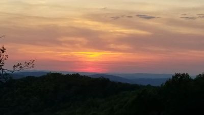
Rocky Knob Campground
In the park · Floyd, VA
Reserve on Recreation.gov
- National Park
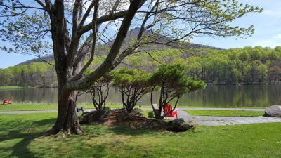
Peaks of Otter Campground
In the park · Montvale, VA
Reserve on Recreation.gov
Camping near the park 80
- Aerial viewRV Park
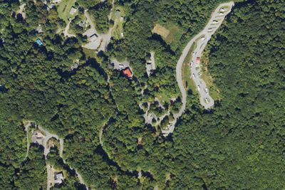
RV park
4.8 mi · Swannanoa, NC
- Aerial viewRV Park
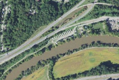
Wilson's Riverfront RV Park
5.7 mi · Asheville, NC
Free and dispersed nearby 28
See them on the map- Camp siteMontreat, NC15 mi
- Camp siteMontreat, NC16 mi
- Blue Ridge Parkway TentMontreat, NC17 mi
- Commissary Hill Backcountry CampsiteMontreat, NC18 mi
- Camp siteOld Fort, NC19 mi
- Wf-3Mills River, NC19 mi
Services nearby: 3 dump stations · 3 rest areas
About Blue Ridge
A Blue Ridge Parkway experience is unlike any other: a slow-paced and relaxing drive revealing stunning long-range vistas and close-up views of the rugged mountains and pastoral landscapes of the Appalachian Highlands. The Parkway meanders for 469 miles…
A Blue Ridge Parkway experience is unlike any other: a slow-paced and relaxing drive revealing stunning long-range vistas and close-up views of the rugged mountains and pastoral landscapes of the Appalachian Highlands. The Parkway meanders for 469 miles, protecting a diversity of plants and animals, and providing opportunities for enjoying all that makes this region of the country so special.
Photos: David Smart · Jim Ruff Photo · Harold Blackwood Photo
Things to do
- Arts and Culture
- Live Music
- Auto and ATV
- Scenic Driving
- Biking
- Road Biking
- Camping
- Car or Front Country Camping
- Fishing
Plan your visit
Getting there
The parkway is a 469-mile-long scenic road connecting Shenandoah National Park in Virginia to Great Smoky Mountains National Park in North Carolina. Numerous federal and state highways provide access to the parkway…
Weather
The weather on the parkway can vary widely along its 469-mile route. Precipitation is possible any time of the year. Winter can be cold and snowy, especially at the higher elevations. Spring and fall can have large…
Plan your visit
Hours
The road is open 24 hours a day, weather permitting. Road closures due to inclement weather occur most frequently during winter. Sections of the road may also be closed during road maintenance projects. Check our road closure map to verify that the parkway is open before traveling. Visitor centers and other facilities have hours and seasons that vary. Most picnic areas, campgrounds, and visitor centers are closed from the beginning of November until early May.
Getting there
The parkway is a 469-mile-long scenic road connecting Shenandoah National Park in Virginia to Great Smoky Mountains National Park in North Carolina. Numerous federal and state highways provide access to the parkway. Milepost markers are positioned every mile along the parkway, starting at 0 in Virginia and ending at 469 in North Carolina. We suggest using a map to identify the area you want to visit, as GPS directions often do not incorporate the parkway's milepost system.
Weather
The weather on the parkway can vary widely along its 469-mile route. Precipitation is possible any time of the year. Winter can be cold and snowy, especially at the higher elevations. Spring and fall can have large temperature swings, from near freezing to over 80 degrees Fahrenheit. Summers are hot in the lower elevations, but the highest elevations remain cooler. Summertime thunderstorms are common, so be prepared for weather changes.
Camped at Blue Ridge? You could be the first to say which site you'd pick again.
Reviews, photos and cell signal reports from real stays help the next camper choose between Rocky Knob Campground, Peaks of Otter Campground and Basin Cove Backcountry Camping.