Peaks of Otter Campground
Montvale, Virginia · 2,605 ft · In Blue Ridge Parkway
Photos: Wayne Bersch
At a glance
7 of 8 facts known · recreation.gov, checked Sep 24, 2026
- Elevation
- 2,605 ft (794 m)2,605 ft794 m
Loops3
Pick a loop to see its sites.
From recreation.gov's site list, Oct 10, 2026: 2 staff entries left out. Loop names are trimmed and merged.
Other campgrounds in Blue Ridge Parkway 12
Nearest first. This park is spread out: the closest is 17 miles away.
- Otter Creek Campground2 loops · A and B · 68 sites · $30 a night · Reserve on Recreation.gov17 mi
- Rocky Knob Campground4 loops · A, B, C, T · 106 sites · $30 a night · Reserve on Recreation.gov59 mi
- Rocky Knob CampgroundCampground · facts not yet known60 mi
- Camp site (National Park Service)Campground · facts not yet known63 mi
- Doughton Park Campground3 loops · A, B, C · 108 sites · $30 a night · Reserve on Recreation.gov111 mi
- Doughton Park CampgroundFree111 mi
Also in the park: 9 backcountry and High Sierra camps · 2 single sites
Open the park pageAmenities
From National Park Service — campgrounds, OpenStreetMap, Recreation.gov, Recreation.gov — campground rate cards · Correct
- Caravan / RV sites
- Drinking water
- Showers
- Tent sites
- Toilets
- Hours (may 15-oct 31)
- Reservations (recommended)
From National Park Service — campgrounds, OpenStreetMap, Recreation.gov, Recreation.gov — campground rate cards
You could be the first camper hereYou could be the first camper on this page
Stayed here? Share what the next camper should know.
Free account · no email needed to browse
About
Overview
The Peaks of Otter Campground is nestled between the bases of two dominating mountains in the rolling hills of Virginia. Campers enjoy a rare serenity in this rustic setting. Relax, and leave your cares behind!
Recreation
The 24-acre Abbott Lake is one of the biggest attractions the Peaks of Otter Park has to offer. The lake is well-stocked with small mouth bass and bluegill. A crystal-clear mountain stream winds through the nearby picnic area.
From National Park Service — campgrounds, OpenStreetMap, Recreation.gov, and Recreation.gov — campground rate cards · · Edit
Cell service
Report signal- Verizon4G LTE
- AT&TNo coverage on FCC map
- T-MobileNo coverage on FCC map
Cell service at Peaks of Otter Campground: FCC map Dec 2025
Weather
National Weather Service
- TueSunny80°60°
- WedSunny79°63°
- ThuRain Showers Likely, 61% chance of rain69°60°
- FriMostly Sunny, 5% chance of rain74°45°
- SatSunny, 3% chance of rain54°36°
Nearby camping
SeeSee all on the mapOutside the park, nearest first.
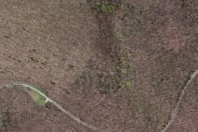
Cornelius Creek A.T. Shelter
Public Land · 4.7 mi · Buchanan
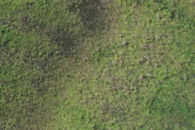
Cove Mountain A.T. Shelter
Public Land · 5.3 mi · Buchanan
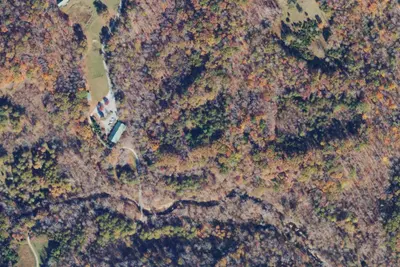
Camp site
Campground · 5.3 mi · Bedford
3 more within 25 mi

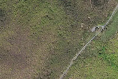
Dispersed camping nearby
Free dispersed camping within 19 mi, on public land.
- 12 mi
Camp site
Big Island, VA · On U.S. Forest Service land · Jefferson National Forest
- 13 mi
Marble Spring Campsite
Glasgow, VA · On U.S. Forest Service land · Jefferson National Forest
- 13 mi
Camp site
Glasgow, VA · On U.S. Forest Service land · Jefferson National Forest
- 16 mi
Camp site
Big Island, VA · On U.S. Forest Service land · George Washington National Forest
Location and contact
Data from National Park Service — campgrounds (NPS Data API), OpenStreetMap, Recreation Information Database (RIDB) / Recreation.gov, Recreation.gov — campground rate cards
Something wrong here? Suggest an edit
Run this campground? Claim the listing