Appalachian National Scenic Trail
47 nearby · 2 free and dispersed sites within 25 mi
Photo: Photo Credit: ATC/Benjamin Hays
2 current alerts
As of Sep 20, 2026 · from nps.gov
- Park closureList of trail closures post-Hurricane HeleneMany closures remain on the Trail following Hurricane Helene's devastation. This will remain true for the foreseeable future. Visit the Appalachian Trail Conservancy (ATC) website for an up-to-date list of closures. OBSERVE ALL CLOSURES. Stay safe!
- CautionBlack Bears Frequenting the McAfee Knob Area in VirginiaHuman-habituated bears have been frequently spotted in the McAfee Knob Area. Allowing bears access to human food or garbage causes it to lose its fear of humans. Follow all food storage regulations, use provided food lockers and never feed a bear.
At a glance
- Open
- Year-round
- Near the park
- 47 campgroundsWithin 25 mi
- Free and dispersed
- 2 sitesWithin 25 mi
Where to camp
Camping near the park 47
- Aerial viewCampground
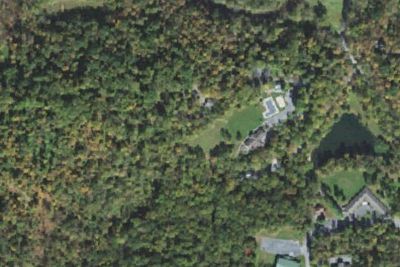
Kenbrook Bible Camp
0.4 mi · Fredericksburg, PA
- Aerial viewRV Park
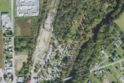
Jonestown/Hershey NE KOA
5.0 mi · Fort Indiantown Gap, PA
Free and dispersed nearby 2
See them on the mapServices nearby: 1 dump station · 2 rest areas
About Appalachian
The Appalachian Trail is a 2,190+ mile long public footpath that traverses the scenic, wooded, pastoral, wild, and culturally resonant lands of the Appalachian Mountains. Conceived in 1921, built by private citizens, and completed in 1937, today the trail is…
The Appalachian Trail is a 2,190+ mile long public footpath that traverses the scenic, wooded, pastoral, wild, and culturally resonant lands of the Appalachian Mountains. Conceived in 1921, built by private citizens, and completed in 1937, today the trail is managed by the National Park Service, US Forest Service, Appalachian Trail Conservancy, numerous state agencies and thousands of volunteers.
Photos: Photo Credit: ATC · Photo Credit: ATC/Matthew Davis · Photo Credit: ATC/Greg Walter
Things to do
- Astronomy
- Stargazing
- Camping
- Backcountry Camping
- Compass and GPS
- Orienteering
- Guided Tours
- Self-Guided Tours - Walking
- Hands-On
Plan your visit
Getting there
There are many points of access along the Appalachian Trail, whether it is by car, train, bus or plane. For more detailed directions, please refer to the "Directions" section of our park webpage.
Weather
It is your responsibility to be prepared for all weather conditions, including extreme and unexpected weather changes year-round. As the trail runs from Georgia to Maine there will be different weather conditions…
Plan your visit
Hours
In general, the Appalachian Trail is open year-round. The northern terminus at Mount Katahdin in Maine is within Baxter State Park, which may be closed in winter months, depending on weather conditions. Particular sections of the Trail, and less-developed roads accessing the Trail, may be closed temporarily for a number of reasons, but otherwise the trail is open.
Getting there
There are many points of access along the Appalachian Trail, whether it is by car, train, bus or plane. For more detailed directions, please refer to the "Directions" section of our park webpage.
Weather
It is your responsibility to be prepared for all weather conditions, including extreme and unexpected weather changes year-round. As the trail runs from Georgia to Maine there will be different weather conditions depending on your location. For weather along specific sections of the trail and at specific shelters, please refer to: http://www.atweather.org/
Camped at Appalachian? You could be the first to say which site you'd pick again.
Reviews, photos and cell signal reports from real stays help the next camper choose.