Cape Hatteras National Seashore
4 campgrounds in the park · 35 nearby · 1 free and dispersed site within 50 mi
Photo: NPS Photo
3 current alerts
As of Sep 20, 2026 · from nps.gov
- Park closureClosure of Billy Mitchell Airport for Repaving ProjectThe Billy Mitchell Airport (HSE) is closed to accommodate a runway pavement rehabilitation project. The project will provide full resurfacing of paved areas, new reflective paint, and new tie-downs and anchors, improving visitor safety and enhancing the overall visitor experience.
- Park closureProject Safety Closure in Place Near Southernmost Groin in BuxtonPublic access is closed for 300 feet north and south of a groin repair project site in Buxton, as well as the adjacent ocean area to the east. Surfers, swimmers, and all other recreationists should stay at least 300 feet from the southernmost groin area for safety purposes.
- Park closurePartial Beach Closures in Place in Front of Buxton VillageThe beachfront in front of Buxton Village is temporarily closed due to the presence of threatened oceanfront structures and Dare County's beach nourishment project. Renourished sections of beach will open to the public immediately after construction activities conclude in the areas, generally within 24 hours.
At a glance
- Open
- Year-round
- In the park
- 4 campgrounds3 reserve on Recreation.gov
- Near the park
- 35 campgroundsWithin 50 mi
- Free and dispersed
- 1 siteWithin 50 mi
Where to camp
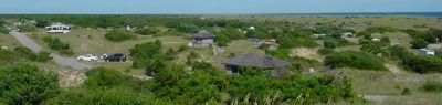
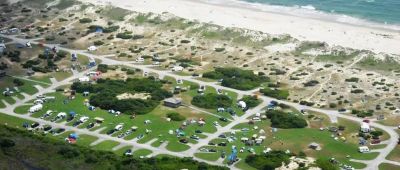
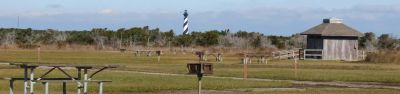
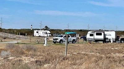
Camping in the park 4
Camping near the park 35
- Aerial viewCampground
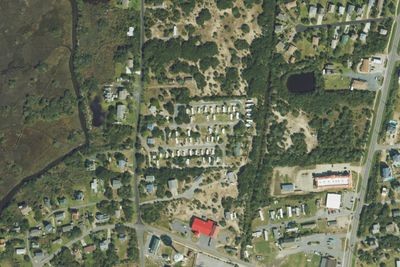
Sands of Time Campground
9.1 mi · Avon, NC
- Aerial viewRV Park
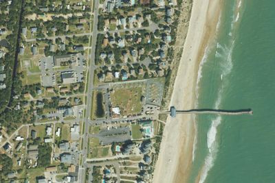
Avon by the Sea RV Park
9.5 mi · Avon, NC
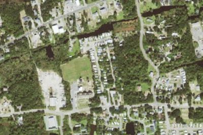
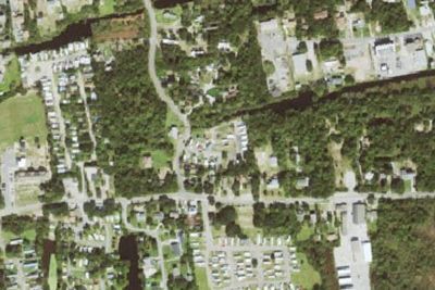
Free and dispersed nearby 1
See them on the mapServices nearby: 6 dump stations · 1 rest area
About Cape Hatteras
The sound of ocean waves, the starry night sky, or the calm of the salt marshes, you can experience it all. Shaped by the forces of water, wind, and storms these islands are ever changing. The plants, wildlife, and people who live here adapt continually…
The sound of ocean waves, the starry night sky, or the calm of the salt marshes, you can experience it all. Shaped by the forces of water, wind, and storms these islands are ever changing. The plants, wildlife, and people who live here adapt continually. Whether you are enjoying the beach, kayaking the sound, or climbing the Cape Hatteras Lighthouse there is something for everyone to explore!
Photos: NPS Photo
Things to do
- Auto and ATV
- Auto Off-Roading
- Astronomy
- Stargazing
- Camping
- Car or Front Country Camping
- Group Camping
- RV Camping
- Fishing
Plan your visit
Getting there
Cape Hatteras National Seashore is located along NC-12 in the Outer Banks of North Carolina. You can reach the seashore from the north by following US 158 to Nag Heads, NC and the turn-off to NC-12 and Cape Hatteras…
Weather
The weather along the Outer Banks varies throughout the year and even throughout the day. Please check the National Weather Service information at http://www.weather.gov/mhx/ for forecast information.
Plan your visit
Hours
The grounds of Cape Hatteras National Seashore are always open for visitors, though there are resource closures that seasonally affect different parts of the beach.
Getting there
Cape Hatteras National Seashore is located along NC-12 in the Outer Banks of North Carolina. You can reach the seashore from the north by following US 158 to Nag Heads, NC and the turn-off to NC-12 and Cape Hatteras National Seashore. From the south, you can take NCDOT ferries from Swanquarter, NC and Cedar Island, NC to the village of Ocracoke on Ocracoke Island. The provided physical address is the location of the Cape Hatteras Lighthouse, roughly in the middle of the park.
Weather
The weather along the Outer Banks varies throughout the year and even throughout the day. Please check the National Weather Service information at http://www.weather.gov/mhx/ for forecast information.
Camped at Cape Hatteras? You could be the first to say which site you'd pick again.
Reviews, photos and cell signal reports from real stays help the next camper choose between Frisco Campground, Ocracoke Campground and Cape Point Campground.