Ice Age Floods National Geologic Trail
15 nearby · 2 free and dispersed sites within 25 mi
Photo: NPS Photo
At a glance
- Open
- Year-round
- Near the park
- 15 campgroundsWithin 25 mi
- Free and dispersed
- 2 sitesWithin 25 mi
Where to camp
Camping near the park 15
- Aerial viewRV Park
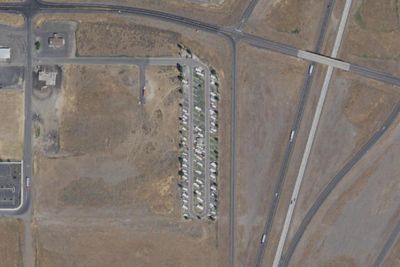
Coyote Run RV Park
8.6 mi · Connell, WA
- Aerial viewRV Park
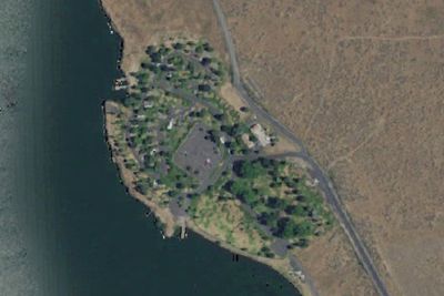
Scooteney Reservoir Campground
9.7 mi · Connell, WA
Free and dispersed nearby 2
See them on the mapServices nearby: 3 dump stations · 1 rest area
About Ice Age Floods
At the end of the last Ice Age, 18,000 to 15,000 years ago, an ice dam in northern Idaho created Glacial Lake Missoula stretching 3,000 square miles around Missoula, Montana. The dam burst and released flood waters across Washington, down the Columbia River…
At the end of the last Ice Age, 18,000 to 15,000 years ago, an ice dam in northern Idaho created Glacial Lake Missoula stretching 3,000 square miles around Missoula, Montana. The dam burst and released flood waters across Washington, down the Columbia River into Oregon before reaching the Pacific Ocean. The Ice Age Floods forever changed the lives and landscape of the Pacific Northwest.
Photos: NPS · NPS Photo
Things to do
- Guided Tours
- Self-Guided Tours - Walking
- Self-Guided Tours - Auto
- Junior Ranger Program
Plan your visit
Getting there
To Trail Headquarters from Spokane Take I-90 West At Exit 277, merge onto US-2 toward Davenport/Fairchild AFB/Spokane Airport Just past Wilbur, turn right onto WA-21 Stay left onto Highway 174 Turn right onto WA-155…
Weather
The National Geologic Trail is a collection of sites stretched across a four state area, the weather will vary from site to site. Please check the weather for your local region, or the region you'll be visiting, through…
Plan your visit
Hours
The Ice Age Floods National Geologic Trail is a collection of sites operated and owned by a variety of partners. , Hours of operation and season will vary from site to site. Please check each respective site for more details and information.
Getting there
To Trail Headquarters from Spokane Take I-90 West At Exit 277, merge onto US-2 toward Davenport/Fairchild AFB/Spokane Airport Just past Wilbur, turn right onto WA-21 Stay left onto Highway 174 Turn right onto WA-155 Stay on WA-155 past Grand Coulee Dam and into the town of Coulee Dam Cross the Columbia River and continue on WA-155 Turn right onto Crest Drive and follow up the hill. The HQ Office is located on the left
Weather
The National Geologic Trail is a collection of sites stretched across a four state area, the weather will vary from site to site. Please check the weather for your local region, or the region you'll be visiting, through their respective sites.
Camped at Ice Age Floods? You could be the first to say which site you'd pick again.
Reviews, photos and cell signal reports from real stays help the next camper choose.