Wheeler Peak Campground
Baker, Nevada · 9,905 ft · In Great Basin National Park
Photos: NPS Photo/Robb Reinhart
At a glance
5 of 8 facts known · recreation.gov, checked Sep 24, 2026
- Elevation
- 9,905 ft (3,019 m)9,905 ft3,019 m
Sites36
Wheeler Peak Campground lists no loops, so its sites are listed here. Pick a site to see its details.
- 2Standard · up to 8 people24 ft
- 3Standard · up to 8 people24 ft
- 4Standard · up to 8 people24 ft
- 5Standard · accessible · up to 8 people24 ft
- 6Standard · up to 8 people24 ft
- 7Standard · up to 8 people24 ft
- 8Standard · up to 8 people24 ft
- 9Standard · up to 8 people24 ft
- 10Standard · up to 8 people24 ft
- 11Standard · up to 8 people24 ft
Showing 10 of 36 · by site number
From recreation.gov's site list, Oct 10, 2026.
Other campgrounds in Great Basin National Park 12
Nearest first. Every place inside the park's boundary.
- Upper Lehman Creek Campground23 sites · $20 a night · Reserve on Recreation.gov3.0 mi
- Lower Lehman Creek Campground20 sites · $20 a night · Reserve on Recreation.gov3.5 mi
- Baker Creek Campground37 sites · $20 a night · Reserve on Recreation.gov3.7 mi
- Grey Cliffs Campground3 loops · Loop A, Loop B, Loop C · 16 sites · $20 a night · Reserve on Recreation.gov4.7 mi
- Dump Station$10 a night4.8 mi
- Shoshone 1Campground · facts not yet known6.3 mi
Also in the park: Group area: Pinnacle Group Campsite 9.8 mi · Group area: Monkey Rock Group Campsite 11 mi
Open the park pageAmenities
From National Park Service — campgrounds, OpenStreetMap, Recreation.gov, Recreation.gov — campground rate cards · Correct
- ADA accessible
- Campfires allowed
- Toilets
From National Park Service — campgrounds, OpenStreetMap, Recreation.gov, Recreation.gov — campground rate cards
You could be the first camper hereYou could be the first camper on this page
Stayed here? Share what the next camper should know.
Free account · no email needed to browse
About
Overview
A stay at the Wheeler Peak Campground is a genuinely memorable experience. Shadowed beneath the hulking cliffs of Wheeler Peak and Doso Doyabi, a pair of Nevada’s true alpine monarchs, the views and campsites hover among the clouds. At nearly 10,000 feet in elevation your neighbors are Engelman spruce, mule deer and green meadows; your common distractions tumbling brooks and shimmering aspen leaves. A mile and a half up the trail will place you in the midst of the Wheeler Peak Bristlecone Grove, among trees so ancient that some have absorbed the fanciful hues of over a million sunsets. Take elevation and weather into account before you set out on your hike. Neither towing nor towed vehicles exceeding 24 feet in length are accommodated along the Wheeler Peak Scenic Drive or at Wheeler Peak Campground.
Fall campers should be aware that Wheeler Peak Campground may close at any time due to snow; in this case, all reservations will be canceled and refunded. Pay attention to weather forecasts and be prepared to change your lodging plans.
From National Park Service — campgrounds, OpenStreetMap, Recreation.gov, and Recreation.gov — campground rate cards · · Edit
Cell service
Report signal- Verizon4G LTE
- AT&TNo coverage on FCC map
- T-MobileNo coverage on FCC map
Cell service at Wheeler Peak Campground: FCC map Dec 2025
Weather
National Weather Service
- TuePartly Sunny, 3% chance of rain32°25°
- WedSunny41°28°
- ThuSunny43°29°
- FriSunny, 1% chance of rain48°31°
- SatSunny50°34°
Nearby camping
SeeSee all on the mapOutside the park, nearest first.
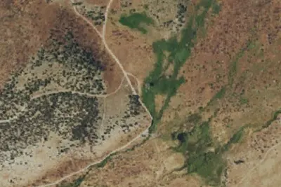
Camp site
Campground · 4.9 mi · Baker
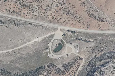
Sacramento Pass Recreation Area
Public Land · 7.6 mi · Baker
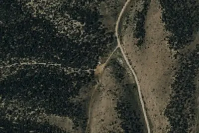
Camp site
Campground · 7.8 mi · Baker
3 more within 25 mi
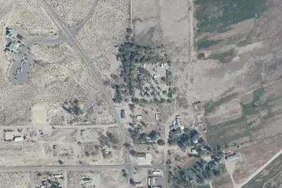
Dispersed camping nearby
Free dispersed camping within 19 mi, on public land.
- 7.4 mi
Eagle Peak Campsites
Baker, NV · On National Park Service land · Great Basin National Park
- 8.6 mi
Squirrel Springs Campsites
Baker, NV · On National Park Service land · Great Basin National Park
- 9.6 mi
Snake Creek Campsite
Baker, NV · On National Park Service land · Great Basin National Park
- 9.8 mi
Pinnacle Group Campsite
Baker, NV · On National Park Service land · Great Basin National Park
- 11 mi
Monkey Rock Group Campsite
Baker, NV · On National Park Service land · Great Basin National Park
- 11 mi
Snake Creek
Baker, NV · On Bureau of Land Management land · Bristlecone Field Office
Location and contact
Data from National Park Service — campgrounds (NPS Data API), OpenStreetMap, Recreation Information Database (RIDB) / Recreation.gov, Recreation.gov — campground rate cards
Something wrong here? Suggest an edit
Run this campground? Claim the listing