Grey Cliffs Campground
Baker, Nevada · 7,152 ft · In Great Basin National Park
Photos: Ranger Robb Reinhart
At a glance
4 of 8 facts known · recreation.gov, checked Sep 24, 2026
- Elevation
- 7,152 ft (2,180 m)7,152 ft2,180 m
Loops2
Pick a loop to see its sites.
From recreation.gov's site list, Oct 10, 2026: 3 staff entries left out. Loop names are trimmed and merged.
How we name loops
“Loop B” is a staff entry, not a campsite, and is left out.
Other campgrounds in Great Basin National Park 12
Nearest first. Every place inside the park's boundary.
- Dump Station$10 a night1.2 mi
- Baker Creek Campground37 sites · $20 a night · Reserve on Recreation.gov1.2 mi
- Lower Lehman Creek Campground20 sites · $20 a night · Reserve on Recreation.gov2.1 mi
- Upper Lehman Creek Campground23 sites · $20 a night · Reserve on Recreation.gov2.2 mi
- Shoshone 1Campground · facts not yet known4.5 mi
- Wheeler Peak Campground37 sites · $20 a night · partial hookups · Reserve on Recreation.gov4.7 mi
Also in the park: Group area: Pinnacle Group Campsite 5.9 mi · Group area: Monkey Rock Group Campsite 6.4 mi
Open the park pageAmenities
From National Park Service — campgrounds, OpenStreetMap, Recreation.gov, Recreation.gov — campground rate cards · Correct
- ADA accessible
- Campfires allowed
From National Park Service — campgrounds, OpenStreetMap, Recreation.gov, Recreation.gov — campground rate cards
You could be the first camper hereYou could be the first camper on this page
Stayed here? Share what the next camper should know.
Free account · no email needed to browse
About
Overview
For visitors to Great Basin National Park, Grey Cliffs Campground is an ideal place to setup and start exploring. Experience the solitude of the desert, the smell of sagebrush after a thunderstorm, the darkest of night skies, and the beauty of Lehman Caves.Recreation
The park offers a variety of trails with views of mountain peaks and alpine lake surrounded by beautiful cliffs at trail's end. Reserve a guided tour of Lehman Caves, take the scenic drive to the face of 13,063 foot Wheeler Peak or see 5,000 year old Bristlecone pine trees grow on rocky glacial moraines.Facilities
From National Park Service — campgrounds, OpenStreetMap, Recreation.gov, and Recreation.gov — campground rate cards · · Edit
Cell service
Report signal- VerizonNo coverage on FCC map
- AT&T4G LTE
- T-MobileNo coverage on FCC map
Cell service at Grey Cliffs Campground: FCC map Dec 2025
Weather
National Weather Service
- TueChance Snow Showers, 55% chance of rain40°32°
- WedSunny49°35°
- ThuSunny51°38°
- FriSunny56°42°
- SatSunny, 1% chance of rain59°43°
Nearby camping
SeeSee all on the mapOutside the park, nearest first.
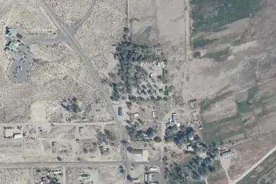
Whispering Elms Campground
Campground · 5.6 mi · Baker
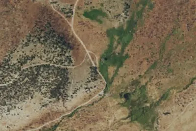
Camp site
Campground · 5.7 mi · Baker
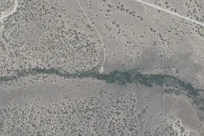
Snake Creek
Dispersed · 7.0 mi · Baker
3 more within 25 mi
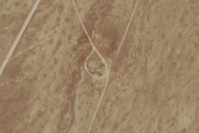
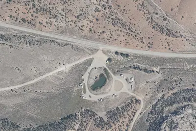
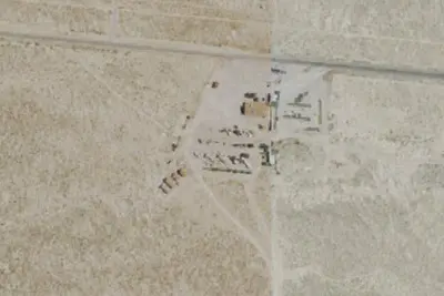
Dispersed camping nearby
Free dispersed camping within 19 mi, on public land.
- 4.7 mi
Eagle Peak Campsites
Baker, NV · On National Park Service land · Great Basin National Park
- 5.1 mi
Squirrel Springs Campsites
Baker, NV · On National Park Service land · Great Basin National Park
- 5.8 mi
Snake Creek Campsite
Baker, NV · On National Park Service land · Great Basin National Park
- 5.9 mi
Pinnacle Group Campsite
Baker, NV · On National Park Service land · Great Basin National Park
- 6.4 mi
Monkey Rock Group Campsite
Baker, NV · On National Park Service land · Great Basin National Park
- 7.0 mi
Snake Creek
Baker, NV · On Bureau of Land Management land · Bristlecone Field Office
Location and contact
Data from National Park Service — campgrounds (NPS Data API), OpenStreetMap, Recreation Information Database (RIDB) / Recreation.gov, Recreation.gov — campground rate cards
Something wrong here? Suggest an edit
Run this campground? Claim the listing