Otter Creek Campground
Big Island, Virginia · 784 ft · In Blue Ridge Parkway
Photos: NPS
At a glance
5 of 8 facts known · recreation.gov, checked Sep 24, 2026
- Elevation
- 784 ft (239 m)784 ft239 m
Loops2
Pick a loop to see its sites.
From recreation.gov's site list, Oct 10, 2026: 1 staff entry left out. Loop names are trimmed and merged.
Other campgrounds in Blue Ridge Parkway 12
Nearest first. This park is spread out: the closest is 17 miles away.
- Peaks of Otter Campground3 loops · Loop A, Loop B, Loop T · 139 sites · $30 a night · partial hookups · Reserve on Recreation.gov17 mi
- Rocky Knob Campground4 loops · A, B, C, T · 106 sites · $30 a night · Reserve on Recreation.gov76 mi
- Rocky Knob CampgroundCampground · facts not yet known77 mi
- Camp site (National Park Service)Campground · facts not yet known80 mi
- Doughton Park Campground3 loops · A, B, C · 108 sites · $30 a night · Reserve on Recreation.gov128 mi
- Doughton Park CampgroundFree128 mi
Also in the park: 9 backcountry and High Sierra camps · 2 single sites
Open the park pageAmenities
From National Park Service — campgrounds, OpenStreetMap, Recreation.gov, Recreation.gov — campground rate cards · Correct
- ADA accessible
- Campfires allowed
From National Park Service — campgrounds, OpenStreetMap, Recreation.gov, Recreation.gov — campground rate cards
You could be the first camper hereYou could be the first camper on this page
Stayed here? Share what the next camper should know.
Free account · no email needed to browse
About
Overview
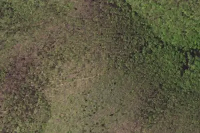
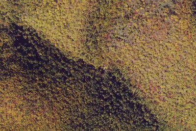
Otter Creek Campground is located at the Blue Ridge Parkway's lowest elevation, only 649 feet above sea level. Picturesque Otter Creek winds through this quiet, rustic campground. Night skies are spectacular here, and there are several nearby trails to hike including the Otter Creek Trail, which is accessible from the campground. Just imagine enjoying the crackle of an evening campfire with the murmur of the creek in the background! Relax....
Recreation
The James River/Otter Creek recreation area has fishing in Otter Lake and a number of hiking trails including Trail of Trees, Otter Creek, Otter Lake Loop, and James River Canal.
From National Park Service — campgrounds, OpenStreetMap, Recreation.gov, and Recreation.gov — campground rate cards · · Edit
Cell service
Report signal- Verizon4G LTE
- AT&TNo coverage on FCC map
- T-MobileNo coverage on FCC map
Cell service at Otter Creek Campground: FCC map Dec 2025
Weather
National Weather Service
- WedSunny, 1% chance of rain87°66°
- ThuChance Rain Showers, 39% chance of rain70°62°
- FriMostly Sunny, 4% chance of rain83°45°
- SatSunny, 5% chance of rain60°36°
- SunSunny60°39°
Nearby camping
SeeSee all on the mapOutside the park, nearest first.
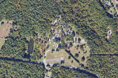
Lynchburg / Blue Ridge Parkway KOA Holiday
RV Park · 0.8 mi · Big Island
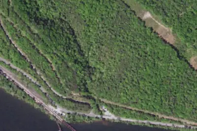
Camp site
Dispersed · 3.2 mi · Big Island
Johns Hollow A.T. Shelter
Public Land · 3.9 mi · Glasgow
3 more within 25 mi
Dispersed camping nearby
Free dispersed camping within 19 mi, on public land.
- 3.2 mi
Camp site
Big Island, VA · On U.S. Forest Service land · George Washington National Forest
- 5.4 mi
Camp site
Glasgow, VA · On U.S. Forest Service land · Jefferson National Forest
- 5.4 mi
Marble Spring Campsite
Glasgow, VA · On U.S. Forest Service land · Jefferson National Forest
- 5.6 mi
Camp site
Big Island, VA · On U.S. Forest Service land · Jefferson National Forest
- 14 mi
Camp site
Buena Vista, VA · On U.S. Forest Service land · George Washington National Forest
- 14 mi
Camp site
Buena Vista, VA · On U.S. Forest Service land · George Washington National Forest
Location and contact
Data from National Park Service — campgrounds (NPS Data API), OpenStreetMap, Recreation Information Database (RIDB) / Recreation.gov, Recreation.gov — campground rate cards
Something wrong here? Suggest an edit
Run this campground? Claim the listing