Mount Pisgah Campground
Mills River, North Carolina · 4,852 ft · In Blue Ridge Parkway
Photos: Debbie Webber
At a glance
5 of 8 facts known · recreation.gov, checked Sep 24, 2026
- Elevation
- 4,852 ft (1,479 m)4,852 ft1,479 m
Loops4
Pick a loop to see its sites.
From recreation.gov's site list, Oct 10, 2026: 2 staff entries left out. Loop names are trimmed and merged.
Other campgrounds in Blue Ridge Parkway 12
Nearest first. This park is spread out: the closest is 44 miles away.
- Crabtree Falls Campground3 loops · A, B, C · 81 sites · $30 a night · Reserve on Recreation.gov45 mi
- Linville Falls Campground2 loops · A and B · 64 sites · $30 a night · Reserve on Recreation.gov61 mi
- Julian Price Memorial Park CampgroundCampground · facts not yet known77 mi
- Julian Price Campground6 loops · Loop A, Loop B, Loop C, Loop D, Loop E, Loop F · 190 sites · $30 a night · Reserve on Recreation.gov77 mi
- Doughton Park CampgroundCampground · facts not yet known114 mi
- Doughton Park CampgroundFree114 mi
Also in the park: 9 backcountry and High Sierra camps · 2 single sites
Open the park pageAmenities
From National Park Service — campgrounds, OpenStreetMap, Recreation.gov, Recreation.gov — campground rate cards · Correct
- Caravan / RV sites
- Tent sites
- Toilets
From National Park Service — campgrounds, OpenStreetMap, Recreation.gov, Recreation.gov — campground rate cards
You could be the first camper hereYou could be the first camper on this page
Stayed here? Share what the next camper should know.
Free account · no email needed to browse
About
Overview
One of the most popular of the Parkway's campgrounds, Mount Pisgah Campground is perched in the rolling mountains of western North Carolina on the southernmost end of the famous Blue Ridge Parkway. Surrounded by dense hardwood forests at an elevation of 4980 feet, it offers shady, cool respite from the summer heat. Whichever end of the day appeals, spectacular sunrise and sunset panoramic views can be enjoyed from nearby overlooks. Several popular hiking trails, ranging from moderate to strenuous, are accessible from the campground. Drenched in history, this area was once part of the holdings of George Vanderbilt and the site of his hunting camp house, Buck Springs (no longer standing), is close by.
Recreation
Several popular hiking trails, ranging from moderate to difficult, are easily accessible from the campground. The Frying Pan Trail leads adventurers 1.6 miles (2.6 km) south to the Fire Tower at Frying Pan Mountain. Hiking north on the trail you'll arrive at the Pisgah Inn and from there, the Buck Spring Trail leads visitors through the thick hardwood forest and along rocky terrain to the Mt. Pisgah Parking Area. From the parking area it is a 1.6 mile (2.6 km) uphill trek to the top of Mt. Pisgah.
From National Park Service — campgrounds, OpenStreetMap, Recreation.gov, and Recreation.gov — campground rate cards · · Edit
Cell service
Report signal- Verizon4G LTE
- AT&T4G LTE
- T-MobileNo coverage on FCC map
Cell service at Mount Pisgah Campground: FCC map Dec 2025
Weather
National Weather Service
- WedSunny71°58°
- ThuSunny, 7% chance of rain70°56°
- FriSunny, 5% chance of rain66°37°
- SatSunny, 2% chance of rain47°33°
- SunSunny49°36°
Nearby camping
SeeSee all on the mapOutside the park, nearest first.
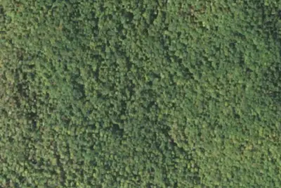
Thompson Creek Camp Site
Campground · 1.4 mi · Mills River
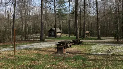
Wolf Ford Horse Camp
Public Land · 1.7 mi · Mills River
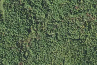
Wf-2
Dispersed · 2.2 mi · Mills River
3 more within 25 mi
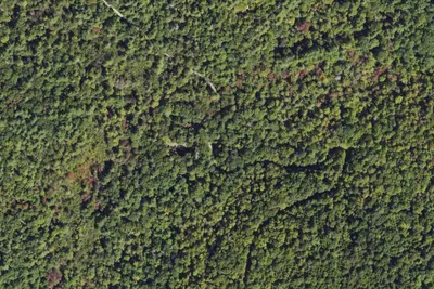
Dispersed camping nearby
Free dispersed camping within 19 mi, on public land.
- 2.2 mi
Wf-2
Mills River, NC · On U.S. Forest Service land · Pisgah National Forest
- 2.3 mi
Wf-3
Mills River, NC · On U.S. Forest Service land · Pisgah National Forest
- 2.7 mi
Wf-6
Mills River, NC · On U.S. Forest Service land · Pisgah National Forest
- 5.0 mi
Camp site
Brevard, NC · On U.S. Forest Service land · Pisgah National Forest
- 5.1 mi
Camp site
Brevard, NC · On U.S. Forest Service land · Pisgah National Forest
- 5.1 mi
Camp site
Brevard, NC · On U.S. Forest Service land · Pisgah National Forest
Location and contact
Data from National Park Service — campgrounds (NPS Data API), OpenStreetMap, Recreation Information Database (RIDB) / Recreation.gov, Recreation.gov — campground rate cards
Something wrong here? Suggest an edit
Run this campground? Claim the listing