Float Camp Picnic Area
Doniphan, Missouri · 344 ft · In Mark Twain National Forest
Photos: Mark Twain National Forest
At a glance
5 of 8 facts known · recreation.gov, checked Sep 24, 2026
- Elevation
- 344 ft (105 m)344 ft105 m
Sites1
Float Camp Picnic Area lists no loops, so its sites are listed here. Pick a site to see its details.
All 1 shown · by site number
From recreation.gov's site list, Oct 10, 2026.
Amenities
From Recreation.gov, Recreation.gov — campground rate cards · Correct
- ADA accessible
From Recreation.gov, Recreation.gov — campground rate cards
You could be the first camper hereYou could be the first camper on this page
Stayed here? Share what the next camper should know.
Free account · no email needed to browse
About
Overview
Float Camp Picnic Area is located only 150 feet from the cool waters of the crystal clear Current River. Visitors enjoy floating the river, fishing and hiking. A campground is only a half-mile away for those who want to stay longer than a day.Recreation
The swift-moving river allows for enjoyable float trips, as well as canoeing and great fishing. Swimming is also a popular pastime.
From Recreation.gov and Recreation.gov — campground rate cards · · Edit
Cell service
Report signal- Verizon4G LTE
- AT&T4G LTE
- T-Mobile4G LTE
Cell service at Float Camp Picnic Area: FCC map Dec 2025
Weather
National Weather Service
- WedChance Showers And Thunderstorms, 78% chance of rain86°68°
- ThuChance Showers And Thunderstorms, 31% chance of rain89°57°
- FriSlight Chance Rain Showers then Mostly Sunny, 17% chance of rain64°41°
- SatSunny63°39°
- SunSunny69°46°
Nearby camping
SeeSee all on the map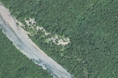
Float Camp Recreation Area
Public Land · 450 ft · Doniphan
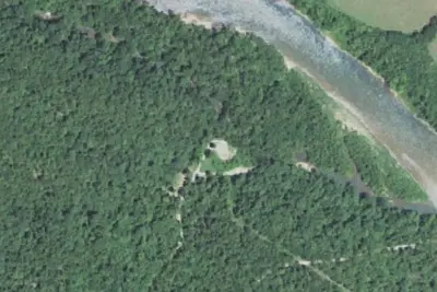
Dunrovin
Public Land · 0.9 mi · Doniphan
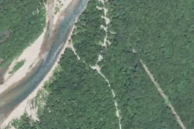
Deer Leap Recreation Area
Public Land · 1.0 mi · Doniphan
3 more within 25 mi
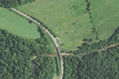
Dispersed camping nearby
Free dispersed camping within 19 mi, on public land.
Location and contact
Something wrong here? Suggest an edit
Run this campground? Claim the listing