Deer Leap Recreation Area
Doniphan, Missouri · 348 ft
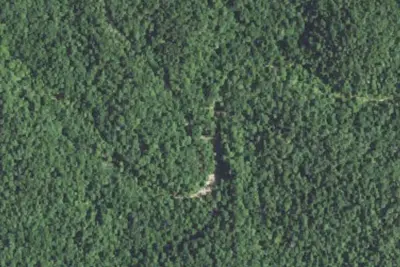
Aerial view · USGS / USDA NAIP · Public domain · source
At a glance
3 of 8 facts known · Forest Service data, checked Oct 3, 2026
- Elevation
- 348 ft (106 m)348 ft106 m
- Land
- Mark Twain National Forest
U.S. Forest Service
Amenities
You could be the first camper hereYou could be the first camper on this page
Stayed here? Share what the next camper should know.
Free account · no email needed to browse
About
The Deer Leap Recreation Area is situated on the east bank of the Current River, this site is not one of the busier campgrounds; so is often a great place to get away from the crowds. Expect some activity of outfitter-guides utilizing the non-motorized launch in the campground, though. Deer Leap provides primitive camping, a boat launch and floater access/tuber launch. When you veer off the road, the boat launch is a short 80 yards from the Y. When you head to the campground, the road follows the river for a short distance before entering a stand of pines. The campground is shady and quiet. There is a busy canoe/tubing launch in the center of the campground. This campground is good for visitors who like a little privacy while camping.
Fees: Overnight Use:
From USDA Forest Service — Recreation Opportunities and USFS INFRA Recreation Sites · · Edit
Cell service
Report signal- Verizon4G LTE
- AT&TNo coverage on FCC map
- T-MobileNo coverage on FCC map
Cell service at Deer Leap Recreation Area: FCC map Dec 2025
Weather
National Weather Service
- WedChance Showers And Thunderstorms then Showers And Thunderstorms, 82% chance of rain85°68°
- ThuSlight Chance Showers And Thunderstorms then Mostly Sunny, 20% chance of rain88°56°
- FriSlight Chance Rain Showers then Mostly Sunny, 23% chance of rain64°42°
- SatSunny63°39°
- SunSunny68°45°
Nearby camping
SeeSee all on the map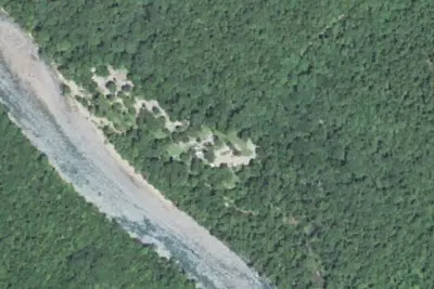
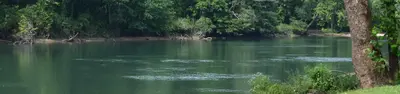
Float Camp Recreation Area
Public Land · 1.0 mi · Doniphan
Float Camp Picnic Area
Public Land · 1.0 mi · Doniphan
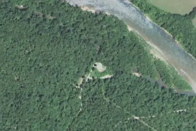
Dunrovin
Public Land · 1.9 mi · Doniphan
3 more within 25 mi
Dispersed camping nearby
Free dispersed camping within 19 mi, on public land.
Location and contact
Data from USDA Forest Service — Recreation Opportunities, USFS INFRA Recreation Sites
Something wrong here? Suggest an edit
Run this campground? Claim the listing