Float Camp Recreation Area
Doniphan, Missouri · 341 ft
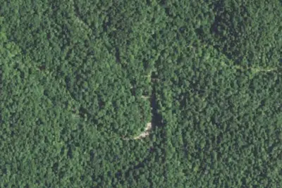
Aerial view · USGS / USDA NAIP · Public domain · source
At a glance
2 of 8 facts known · Forest Service data, checked Oct 3, 2026
- Elevation
- 341 ft (104 m)341 ft104 m
Amenities
You could be the first camper hereYou could be the first camper on this page
Stayed here? Share what the next camper should know.
Free account · no email needed to browse
About
The Float Camp Recreation Area provides opportunities for camping and day use. Float Camp Picnic Area is located only 150 feet from the cool waters of the crystal clear Current River and nestled under a mature forest of hardwoods which offers plentiful shade. Visitors enjoy fishing and hiking. A campground is only a half-mile away for those who want to stay longer than a day. Visitors enjoy hiking and other nearby recreational opportunities at Deer Leap Recreation Area. The day-use picnic area offers an accessible group shelter that can accommodate up to 75 people. The picnic pavilion is equipped with electricity, tables and grills. Individual picnic sites are available on a first come, first served basis. Accessible vault toilets, drinking water and trash collection are provided. The Float Camp Campground is adjacent to the day use area. This is a large, open campground with little privacy screening between campsites. While There's not much solitude, but you'll enjoy level, roomy campsites and have a good opportunity to socialize with adjacent campers. Trash cans or dumpsters and vault toilets are centrally located. No sewage disposal is available. Hiking: Woodchuck Trail is a half mile long trail connecting Float Camp Picnic Area with the campground. White Oak Trail is a 1.5-mile loop trail originating at the Float Camp Picnic Area's parking lot. Fishing: Wade, bank and boat fishing permitted.
Fees: Overnight Use:
From OpenStreetMap, Overture Maps Foundation — Places, USDA Forest Service — Recreation Opportunities, and USFS INFRA Recreation Sites · · Edit
Cell service
Report signal- Verizon4G LTE
- AT&T4G LTE
- T-Mobile4G LTE
Cell service at Float Camp Recreation Area: FCC map Dec 2025
Weather
National Weather Service
- TueMostly Sunny, 2% chance of rain92°72°
- WedChance Showers And Thunderstorms, 78% chance of rain85°68°
- ThuChance Showers And Thunderstorms, 32% chance of rain88°57°
- FriSlight Chance Rain Showers then Mostly Sunny, 17% chance of rain64°41°
- SatSunny63°39°
Nearby camping
SeeSee all on the map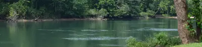
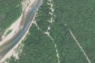
Float Camp Picnic Area
Public Land · 450 ft · Doniphan
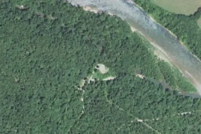
Deer Leap Recreation Area
Public Land · 1.0 mi · Doniphan
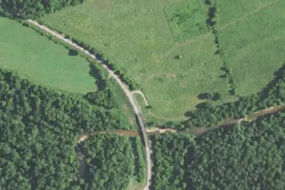
Dunrovin
Public Land · 1.0 mi · Doniphan
3 more within 25 mi
Dispersed camping nearby
Free dispersed camping within 19 mi, on public land.
Location and contact
Data from OpenStreetMap, Overture Maps Foundation — Places, USDA Forest Service — Recreation Opportunities, USFS INFRA Recreation Sites
Something wrong here? Suggest an edit
Run this campground? Claim the listing