Tumacácori National Historical Park
78 nearby · 65 free and dispersed sites within 25 mi
Photo: NPS Photo
At a glance
- Entrance
- $10 per personValid 7 days
- Near the park
- 78 campgroundsWithin 25 mi
- Free and dispersed
- 65 sitesWithin 25 mi
- Annual pass
- $35Tumacácori only
Where to camp
Camping near the park 78
- Aerial viewState Park
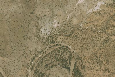
Sonoita Creek Natural Area
9.3 mi · Rio Rico, AZ
- Aerial viewRV Park
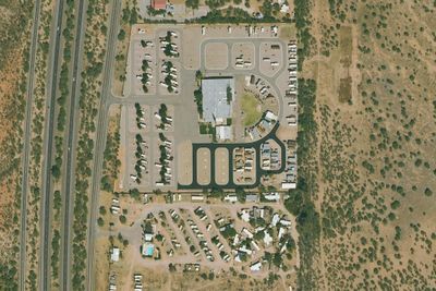
RV park
9.5 mi · Amado, AZ
Free and dispersed nearby 65
See them on the map- Camp siteArivaca Junction, AZ13 mi
- Ramada 2Arivaca, AZ13 mi
- SchoolhouseArivaca, AZ13 mi
- Willow 2Arivaca, AZ13 mi
- Willow 1Arivaca, AZ13 mi
- Ramada 1Arivaca, AZ13 mi
Services nearby: 1 dump station · 3 rest areas
About Tumacácori
Tumacácori sits at a cultural crossroads in the Santa Cruz River valley. Here O’odham, Yaqui, and Apache people met and mingled with European Jesuit and Franciscan missionaries, settlers, and soldiers, sometimes in conflict and sometimes in cooperation…
Tumacácori sits at a cultural crossroads in the Santa Cruz River valley. Here O’odham, Yaqui, and Apache people met and mingled with European Jesuit and Franciscan missionaries, settlers, and soldiers, sometimes in conflict and sometimes in cooperation. Follow the timeworn paths and discover stories that connect us to enduring relationships, vibrant cultures, and traditions of long ago.
Photos: NPS Photo
Things to do
- Arts and Culture
- Craft Demonstrations
- Cultural Demonstrations
- Live Music
- Astronomy
- Compass and GPS
- Geocaching
- Food
- Dining
Plan your visit
Getting there
Tumacácori National Historical Park is located off of Exit 29 of Interstate 19, forty-five miles (80 kilometers) south of Tucson, Arizona, and eighteen miles (26 kilometers) north of Nogales, Arizona.
Weather
Located above the heat of the low desert, Tumacácori National Historical Park is in the mesquite highlands, close to 3,300 feet in elevation, where temperatures are five to ten degrees cooler than Tucson or Phoenix…
Plan your visit
Fees and passes
- Per person, 7 days$10
- Tumacácori annual pass$35
Hours
These hours apply to the visitor center and mission grounds. The Anza Trail, which runs through the park, can be accessed 24/7 from other trailheads.
Getting there
Tumacácori National Historical Park is located off of Exit 29 of Interstate 19, forty-five miles (80 kilometers) south of Tucson, Arizona, and eighteen miles (26 kilometers) north of Nogales, Arizona.
Weather
Located above the heat of the low desert, Tumacácori National Historical Park is in the mesquite highlands, close to 3,300 feet in elevation, where temperatures are five to ten degrees cooler than Tucson or Phoenix. Visiting the park in this moderate climate is pleasurable during any season of the year but remember to prepare accordingly. Bring layered clothing and drink plenty of water.
Camped at Tumacácori? You could be the first to say which site you'd pick again.
Reviews, photos and cell signal reports from real stays help the next camper choose.