Grand Canyon National Park
4 campgrounds in the park · 113 nearby · 21 free and dispersed sites within 50 mi
Photo: NPS/M. Quinn
3 current alerts
As of Sep 20, 2026 · from nps.gov
- DangerINNER CANYON TRAIL CLOSURESCurrent trail closures: North Kaibab Trail, Cottonwood Campground, Phantom Ranch, Bright Angel Campground, Silver Bridge, the South Kaibab Trail below Tip-Off, and the Black Bridge. Please do not attempt to access the closed areas.
- DangerINNER CANYON WATER SHUTOFFSBeginning Sep. 6, no potable water will be available in the inner canyon, including along the Bright Angel Trail (1.5 Mile Resthouse, 3-Mile Resthouse, Havasupai Gardens day use and campground). All backpackers and hikers should carry water filtration and treatment OR carry all water with them.
- CautionCritical Backcountry Updates/ClosuresVisit this link for the inner canyon weather forecast, current trail closures, today's heat risk, and drinking water availability.
At a glance
- Entrance
- $35 per vehicle
- Open
- Year-round
- In the park
- 4 campgrounds1 reserve on Recreation.gov
- Near the park
- 113 campgroundsWithin 50 mi
- Free and dispersed
- 21 sitesWithin 50 mi
- Annual pass
- $70Grand Canyon only
Where to camp
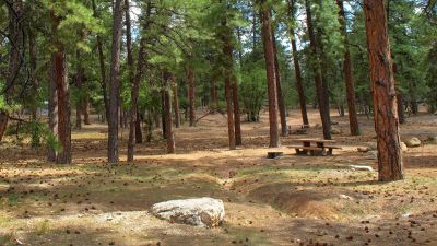
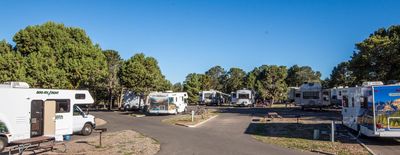
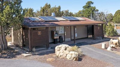
Camping in the park 4
Camping near the park 113
- Aerial viewCampground
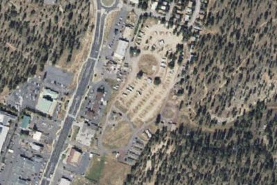
Grand Canyon Camper Village
1.8 mi · Tusayan, AZ
- Aerial viewRV Park
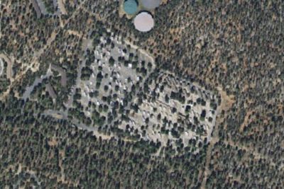
Trailer Village RV Park
3.7 mi · Grand Canyon Village, AZ
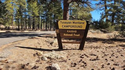
Free and dispersed nearby 21
See them on the map- Long Jim Loop CampingTusayan, AZ1.5 mi
- Havasupai Gardens CampgroundGrand Canyon Village, AZ5.3 mi
- Bright Angel CampgroundGrand Canyon Village, AZ7.1 mi
- Horseshoe Mesa CampGrand Canyon Village, AZ8.3 mi
- Clear Creek CampGrand Canyon Village, AZ10 mi
- Cottonwood CampgroundGrand Canyon Village, AZ13 mi
Services nearby: 2 dump stations · 5 rest areas
About Grand Canyon
Entirely within the state of Arizona, the park encompasses 278 miles (447 km) of the Colorado River and adjacent uplands. Located on the ancestral homelands of 11 present day Tribal Communities, Grand Canyon is one of the most spectacular examples of erosion…
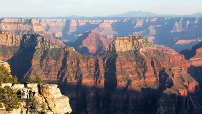
Entirely within the state of Arizona, the park encompasses 278 miles (447 km) of the Colorado River and adjacent uplands. Located on the ancestral homelands of 11 present day Tribal Communities, Grand Canyon is one of the most spectacular examples of erosion anywhere in the world—a mile deep canyon unmatched in the incomparable vistas it offers visitors from both north and south rims.
Photos: NPS/M. Lellouch · NPS/M. Quinn
Things to do
- Arts and Culture
- Cultural Demonstrations
- Auto and ATV
- Scenic Driving
- Astronomy
- Stargazing
- Biking
- Road Biking
- Boating
Plan your visit
Getting there
South Rim: Open all year, is located 60 miles north of Williams, Arizona (via route 64 from Interstate 40) and 80 miles northwest of Flagstaff (via route 180). Grand Canyon lies entirely within the state of Arizona…
Weather
Since Grand Canyon has elevations that range from 2,500 feet at the bottom to 8,400 feet on the North Rim, weather can vary significantly depending on the season and the specific location within the park. Winters tend…
Plan your visit
Fees and passes
- Private vehicle$35
- Motorcycle, 7 days$30
- Per person, 7 days$20
- Nonresident$100
- Grand Canyon annual pass$70
Hours
Both Desert View (East Entrance) and South Entrance are Open 24 hours/day and 7 Days/week. Credit cards, and America the Beautiful passes are accepted for entry. Cash is not accepted at this time. The South Entrance Station, near Tusayan, Arizona, receives the most traffic, an experiences long lines and up to 2 hour wait times between 9:30 am and 4 pm. The East Entrance at Desert View - 32 miles east of the village (accessed via US 89 to Cameron, AZ, then west on SR 64, usually has shorter wait times.
Getting there
South Rim: Open all year, is located 60 miles north of Williams, Arizona (via route 64 from Interstate 40) and 80 miles northwest of Flagstaff (via route 180). Grand Canyon lies entirely within the state of Arizona. ---- North Rim: Select areas are open to public access between Oct 1 and Nov 14. View the park's news releases for details. The North Rim entrance station is located 30 miles south of Jacob Lake, AZ, on Highway 67; the actual rim of the canyon is an additional 14 miles south.
Weather
Since Grand Canyon has elevations that range from 2,500 feet at the bottom to 8,400 feet on the North Rim, weather can vary significantly depending on the season and the specific location within the park. Winters tend to be cold and snowy, and summers have periods of excessive heat. High temperatures inside the canyon tend to be 20 to 30 degrees warmer then on the canyon's rims. Weather conditions can change rapidly, so it's wise to check forecasts before visiting.
Camped at Grand Canyon? You could be the first to say which site you'd pick again.
Reviews, photos and cell signal reports from real stays help the next camper choose between Mather Campground, North Rim Campground and Trailer Village RV Park - South Rim.