Saint Croix National Scenic Riverway
3 campgrounds in the park · 57 nearby · 18 free and dispersed sites within 25 mi
Photo: NPS / Pete Wintersteen
2 current alerts
As of Sep 20, 2026 · from nps.gov
- InformationIncreased Bear Activity in the RiverwayBears have been seen approaching campsites in the Riverway in search of food. Store all food, garbage, and scented items in bear‑resistant containers, locked vehicles, or properly hung bags. Food should never be stored in tents. Stay alert and report safety concerns to 1‑800‑PARK‑TIP
- Park closureNorth Parking Lot at Osceola Landing to Close for Bridge ConstructionThe northernmost parking lot and co-located boat ramps at Osceola Landing will close week of 9/14 as part of the Hwy 243 Osceola Bridge replacement project. The parking lot and boat ramps will be used as a staging area and river access point for construction equipment for the duration of the Hwy 243 bridge replacement project. During this time, the rest of Osceola Landing will be open for visitor use including alternative parking lots, restrooms, picnic shelters, trail, and other river access points.
At a glance
- Open
- Year-round
- In the park
- 3 campgrounds
- Near the park
- 57 campgroundsWithin 25 mi
- Free and dispersed
- 18 sitesWithin 25 mi
Where to camp
Camping in the park 3
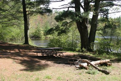
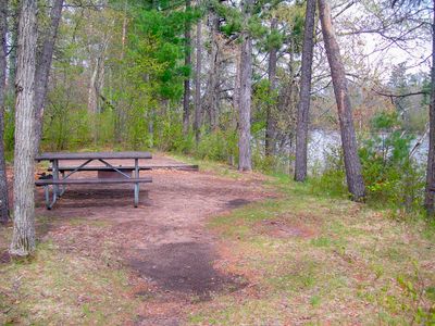
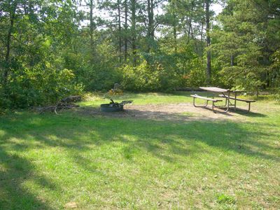
Camping near the park 57
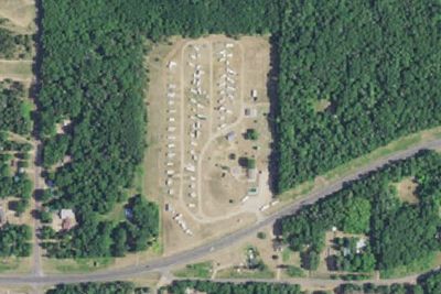
- Aerial viewRV Park
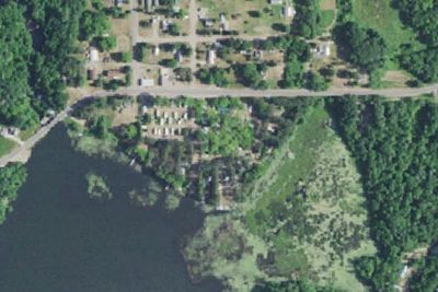
Clam Falls Campground
3.5 mi · Lewis, WI
- Aerial viewCampground
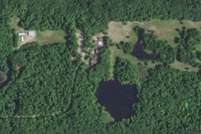
Oak Forest Center
6.2 mi · Frederic, WI
Free and dispersed nearby 18
See them on the map- Straight Lake CampgroundLuck, WI7.3 mi
- Clam River Backpack SiteDanbury, WI18 mi
- Clam River Group CampsiteDanbury, WI20 mi
- Lost Creek Backpack SiteDanbury, WI20 mi
- St. Croix NSR Sandrock CliffsRock Creek, WI21 mi
- Nelsons LandingGrantsburg, WI21 mi
Services nearby: 1 dump station
About Saint Croix
Grab your paddle and your longing for adventure and head to the St. Croix and Namekagon rivers! Together they form the St. Croix National Scenic Riverway, offering over 200 miles of clean water that glides and rushes through a forested landscape. Paddle…
Grab your paddle and your longing for adventure and head to the St. Croix and Namekagon rivers! Together they form the St. Croix National Scenic Riverway, offering over 200 miles of clean water that glides and rushes through a forested landscape. Paddle, boat, fish, and camp among this wild and scenic beauty. Hiking and historic towns also beckon.
Photos: NPS Photo / Pete Wintersteen
Things to do
- Boating
- Motorized Boating
- Camping
- Canoe or Kayak Camping
- Fishing
- Freshwater Fishing
- Fly Fishing
- Hands-On
- Citizen Science
Plan your visit
Getting there
The St. Croix National Scenic Riverway stretches for over 200 miles in northwest Wisconsin and east-central Minnesota. The Namekagon River flows entirely in Wisconsin while the St. Croix River serves as a border between…
Weather
Access to the Riverway is year-round. Early spring temperatures can reach into the 40's resulting in high, fast, and cold water from melting snow and ice. Summers are warm and humid. Severe weather can be experienced…
Plan your visit
Hours
The St. Croix and Namekagon rivers are open all-day, year-round except for periods of dangerous water conditions. Access to landings and trails is seasonal.
Getting there
The St. Croix National Scenic Riverway stretches for over 200 miles in northwest Wisconsin and east-central Minnesota. The Namekagon River flows entirely in Wisconsin while the St. Croix River serves as a border between the two states for much of its length. With many different access points there are numerous opportunities for day trips as well as multi-day paddling adventures. Visitor centers are located on the Namekagon River in Trego, Wisconsin, and on the St. Croix River in St. Croix Falls, Wisconsin.
Weather
Access to the Riverway is year-round. Early spring temperatures can reach into the 40's resulting in high, fast, and cold water from melting snow and ice. Summers are warm and humid. Severe weather can be experienced anytime from mid-spring through late summer. Fall colors begin in late September with high temperatures averaging in the 60's. Winter can set in early with high temperatures in the teens, lows falling below zero, and occasional heavy snow. The rivers can begin to freeze over by early December.
Camped at Saint Croix? You could be the first to say which site you'd pick again.
Reviews, photos and cell signal reports from real stays help the next camper choose between Namekagon District, Middle St. Croix and Lower St. Croix District.