Pictured Rocks National Lakeshore
4 campgrounds in the park · 153 nearby · 35 free and dispersed sites within 50 mi
Photo: NPS Photo
1 current alert
As of Sep 20, 2026 · from nps.gov
- Park closureMunising Falls Trail Closed Until Further NoticeThe Munising Falls Trail within Pictured Rocks National Lakeshore is closed until further notice. Approximately 75-feet of the paved trail was washed out April 28th from recent heavy rainfall and seasonal snow melt.
At a glance
- Entrance
- $25 per vehicle
- Open
- Year-round
- In the park
- 4 campgroundsAll reserve on Recreation.gov
- Near the park
- 153 campgroundsWithin 50 mi
- Free and dispersed
- 35 sitesWithin 50 mi
- Annual pass
- $45Pictured Rocks only
Where to camp
Camping in the park 4
Camping near the park 153
- Aerial viewCampground
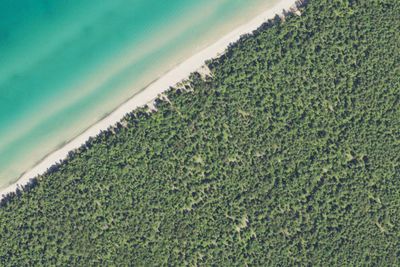
Pine Bluff Campground
1.6 mi · Burt, MI
- Aerial viewCampground
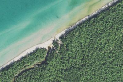
Beaver Creek Campground
1.8 mi · Munising, MI
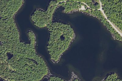
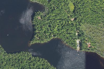
Free and dispersed nearby 35
See them on the map- Lowney Creek CampgroundMunising, MI1.2 mi
- Lowney Creek Group CampgroundMunising, MI1.4 mi
- Trappers Lake CampgroundBurt, MI1.5 mi
- Trappers Lake Group CampsiteBurt, MI1.6 mi
- Coves CampsiteMunising, MI2.7 mi
- Coves Group CampsiteMunising, MI3.8 mi
Services nearby: 3 dump stations · 4 rest areas
About Pictured Rocks
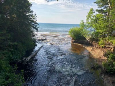
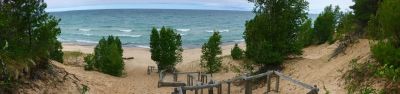
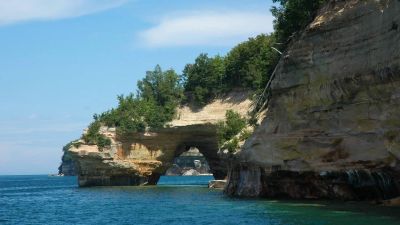
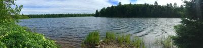
Sandstone cliffs, beaches, waterfalls, sand dunes, inland lakes, deep forest, and wild shoreline beckon you to visit Pictured Rocks National Lakeshore. The power of Lake Superior shapes the park's coastal features and affects every ecosystem, creating a…
Sandstone cliffs, beaches, waterfalls, sand dunes, inland lakes, deep forest, and wild shoreline beckon you to visit Pictured Rocks National Lakeshore. The power of Lake Superior shapes the park's coastal features and affects every ecosystem, creating a unique landscape to explore. Hiking, camping, sightseeing, and four-season outdoor opportunities abound.
Photos: NPS Photo
Things to do
- Auto and ATV
- Scenic Driving
- Astronomy
- Stargazing
- Biking
- Road Biking
- Boating
- Motorized Boating
- Jet Skiing
Plan your visit
Getting there
Pictured Rocks NL is located on the south shore of Lake Superior in Michigan's Upper Peninsula, between the towns of Munising (west) and Grand Marais (east). Access the west side of the park via Michigan highways M-28…
Weather
Summers are pleasant with the average highs in June, July, and August in the 70s°F, and lows in the low 50s°F. The coldest months are December through March with average highs of 25°F to 32°F, and average lows in the…
Plan your visit
Fees and passes
- Private vehicle$25
- Motorcycle, 7 days$20
- Snowmobile$15
- Per person$15
- Pictured Rocks annual pass$45
Hours
Pictured Rocks National Lakeshore is open year-round, 24 hours a day, though most roads are closed by snow in the winter. Sand Point Road is the only park road plowed in winter.
Getting there
Pictured Rocks NL is located on the south shore of Lake Superior in Michigan's Upper Peninsula, between the towns of Munising (west) and Grand Marais (east). Access the west side of the park via Michigan highways M-28 and M-94 to Munising. State highway M-77 leads to Grand Marais on the east side. Alger County Road H-58 runs parallel and through the park, providing access to spur roads that lead to scenic overlooks, trailheads, campgrounds, beaches, etc. Most park roads are closed in winter due to snow.
Weather
Summers are pleasant with the average highs in June, July, and August in the 70s°F, and lows in the low 50s°F. The coldest months are December through March with average highs of 25°F to 32°F, and average lows in the teens. Annual precipitation averages 31 inches; average annual snowfall is about 140 inches, although winters with more than 200 inches are not uncommon. Snow generally covers the ground from late November through late April.
Camped at Pictured Rocks? You could be the first to say which site you'd pick again.
Reviews, photos and cell signal reports from real stays help the next camper choose between Hurricane River Campground, Twelvemile Beach Campground and Cabin and Pictured Rocks National Lakeshore Backcountry Camping Permit.