Hurricane River Campground
Grand Marais, Michigan · 643 ft · In Pictured Rocks National Lakeshore
Photos: NPS Photo
Wildfire 27 mi E: Musky, 6 acres
At a glance
6 of 8 facts known · recreation.gov, checked Sep 24, 2026
- Elevation
- 643 ft (196 m)643 ft196 m
Loops2
Pick a loop to see its sites.
From recreation.gov's site list, Oct 10, 2026: 1 staff entry left out. Loop names are trimmed and merged.
Other campgrounds in Pictured Rocks National Lakeshore 9
Nearest first. Every place inside the park's boundary.
- Hurricane River Lower CampgroundCampground · facts not yet known0.2 mi
- Hurricane River Upper CampgroundCampground · facts not yet known0.2 mi
- Benchmark Individual Backpacking Sites6 sites · Reserve on Recreation.gov2.0 mi
- Twelvemile Beach Campground36 sites · $25 a night · Reserve on Recreation.gov2.9 mi
- Twelvemile Beach Campground and Cabin2 loops · East and West · $25 a night · Reserve on Recreation.gov3.0 mi
- Masse Homestead Individual Backpacking Sites3 sites · Reserve on Recreation.gov3.7 mi
Also in the park: Group area: Masse Homestead Group Backpacking Site 3.5 mi · 20 backcountry and High Sierra camps
Open the park pageAmenities
From National Park Service — campgrounds, Recreation.gov, Recreation.gov — campground rate cards · Correct
- ADA accessible
- Campfires allowed
- Drinking water
- Showers
- Toilets
From National Park Service — campgrounds, Recreation.gov, Recreation.gov — campground rate cards
You could be the first camper hereYou could be the first camper on this page
Stayed here? Share what the next camper should know.
Free account · no email needed to browse
About
Overview
Pictured Rocks National Lakeshore hugs the Lake Superior shoreline for more than 40 miles along Michigan's northern coast. Lake Superior is the largest, deepest, coldest, and most pristine of all the Great Lakes. Camping at Pictured Rocks National Lakeshore is a great way to relax and enjoy the beauties the lakeshore has to offer. Campgrounds are rustic, and do not provide electric or sewer hookups. Campers, trailers, and RVs are welcome, note there are generator free areas. Cell phone reception is limited, so unplug, unwind, and enjoy the serenity Pictured Rocks National Lakeshore Campgrounds has to offer.
Hurricane River Campground is located 12 miles (19 km) west of Grand Marais and is divided into two separate sections off County Highway (H-) 58, Hurricane River Upper, and Hurricane River Lower. The Upper Campground has 10 sites and the Lower Campground has 12. Campground amenities include water, pit toilets, picnic tables, fire rings, and handicap accessible sites. Hurricane River Lower Campground is the trailhead for the Au Sable Light Station, which is a 3-mile (5 km) round trip stroll to the lighthouse with views of Lake Superior, Jacobsville Sandstone, and Shipwreck remains. Upper Hurricane River is tucked back in the woods with beautiful deciduous trees between sites allowing for the woodsy experience of Northern Michigan.
From National Park Service — campgrounds, Recreation.gov, and Recreation.gov — campground rate cards · · Edit
Cell service
Report signalFCC map: no coverage reported
- VerizonNo coverage on FCC map
- AT&TNo coverage on FCC map
- T-MobileNo coverage on FCC map
Cell service at Hurricane River Campground: FCC map Dec 2025
Weather
National Weather Service
- WedMostly Cloudy, 6% chance of rain52°40°
- ThuMostly Cloudy then Chance Rain Showers, 52% chance of rain54°40°
- FriRain Showers, 98% chance of rain50°38°
- SatSunny, 1% chance of rain53°41°
- SunSunny, 1% chance of rain60°48°
Nearby camping
SeeSee all on the mapOutside the park, nearest first.
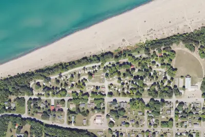
Woodland Park Campground
Campground · 8.4 mi · Grand Marais
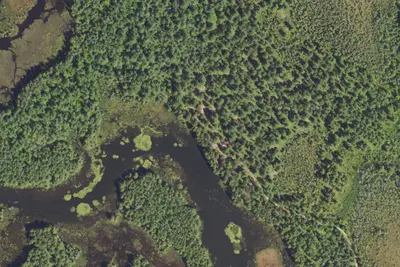
Stanley Lake Campsite
Campground · 12 mi · Grand Marais
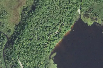
Ross Lake State Forest Campground
State Park · 13 mi · Hiawatha
3 more within 25 mi
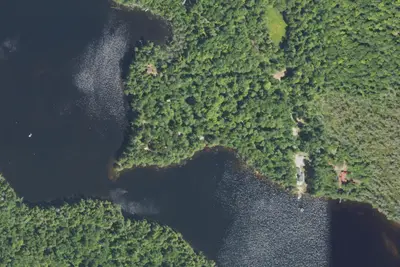
Dispersed camping nearby
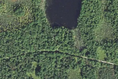
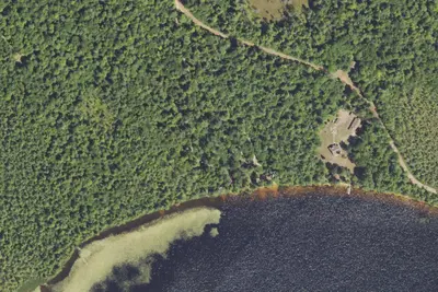
Free dispersed camping within 19 mi, on public land.
Location and contact
Data from National Park Service — campgrounds (NPS Data API), Recreation Information Database (RIDB) / Recreation.gov, Recreation.gov — campground rate cards
Something wrong here? Suggest an edit
Run this campground? Claim the listing