Lower Delaware National Wild and Scenic River
49 nearby within 25 mi
Photo: NPS Photo/Julia Bell
At a glance
- Near the park
- 49 campgroundsWithin 25 mi
Camping near the park 49
- Aerial viewPublic Land
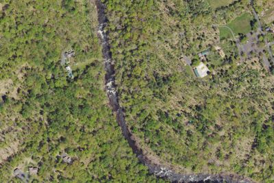
Doe Run Camp Ground
5.7 mi · Plumsteadville, PA
- Aerial viewPublic Land
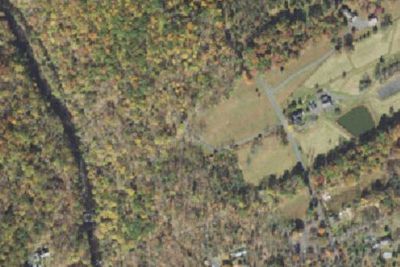
Deer Wood Camp Ground
5.7 mi · Plumsteadville, PA
Services nearby: 1 dump station · 7 rest areas
About Lower Delaware
The Delaware River, the largest free-flowing river in the eastern United States, runs past forests, farmlands and villages. It also links some of the most densely populated regions in America. In 2000, the National Wild and Scenic River System incorporated…
The Delaware River, the largest free-flowing river in the eastern United States, runs past forests, farmlands and villages. It also links some of the most densely populated regions in America. In 2000, the National Wild and Scenic River System incorporated key segments of the lower Delaware River to form this unit of the National Park System.
Photos: NPS Photo/Julia Bell
Things to do
- Auto and ATV
- Scenic Driving
- Boating
- Camping
- Fishing
- Food
- Picnicking
- Hiking
- Paddling
Plan your visit
Getting there
The Lower Delaware National Wild and Scenic River is located between Interstate 80 (at Portland, Pennsylvania and Columbia, New Jersey) and Interstate 95 (at exit 51 in Washington Crossing, Pennsylvania and exit 1 in…
Weather
Spring: Temperatures usually range from lows of 26 F to highs of 80 F with average rainfall of 5 inches. Summer: Temperatures usually range from lows of 55 F to highs of 85 F with average rainfall of 4 inches. Fall…
Plan your visit
Hours
The largest free-flowing river in the eastern United States, the Delaware River runs past forests, farmlands, and villages, and it also links some of the most densely populated regions in America. In 2000, the National Wild and Scenic River System incorporated key segments of the lower Delaware River to form this unit of the National Park System.
Getting there
The Lower Delaware National Wild and Scenic River is located between Interstate 80 (at Portland, Pennsylvania and Columbia, New Jersey) and Interstate 95 (at exit 51 in Washington Crossing, Pennsylvania and exit 1 in Washington Crossing, New Jersey). In Pennsylvania, follow PA-611 and PA-32 to drive along the river. In New Jersey, follow NJ-29 south of Frenchtown for a drive along the river.
Weather
Spring: Temperatures usually range from lows of 26 F to highs of 80 F with average rainfall of 5 inches. Summer: Temperatures usually range from lows of 55 F to highs of 85 F with average rainfall of 4 inches. Fall: Temperatures usually range from lows of 30 F to highs of 83F. Fall foliage is at its peak sometime in October as daily mountain temperatures vary frequently and influence the change. Winter: Temperatures usually range from lows of 15 F to highs of 49 F.
Camped at Lower Delaware? You could be the first to say which site you'd pick again.
Reviews, photos and cell signal reports from real stays help the next camper choose.