Tusayan - Montane
Tusayan, Arizona · 6,654 ft · In Kaibab National Forest
Photos: Forest Service photo by Z. Rice
At a glance
5 of 8 facts known · recreation.gov, checked Sep 24, 2026
- Elevation
- 6,654 ft (2,028 m)6,654 ft2,028 m
Loops5
Pick a loop to see its sites.
- Black Bear38 sites38 standard · up to 45 ft
- Elk26 sites26 standard · up to 45 ft
- Pronghorn29 sites29 standard · up to 45 ft
- Raven Loop42 sites26 standard · 16 tent only · up to 40 ft
- Squirrel Loop23 sites13 standard · 10 tent only · up to 40 ft
Other areas
From recreation.gov's site list, Oct 10, 2026: 7 staff entries left out. Loop names are trimmed and merged.
How we name loops
“NA” and “S&P” are staff entries, not campsites, and are left out.
Amenities
From Recreation.gov, Recreation.gov — campground rate cards, USFS INFRA Recreation Sites · Correct
- ADA accessible
- Campfires allowed
From Recreation.gov, Recreation.gov — campground rate cards, USFS INFRA Recreation Sites
You could be the first camper hereYou could be the first camper on this page
Stayed here? Share what the next camper should know.
Free account · no email needed to browse
About
Overview
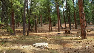
Perhaps the biggest draw to Tusayan-Montane Campground in northern Arizona is its proximity to the South Rim of Grand Canyon National Park. Located just 4 miles south of the park entrance in beautiful Kaibab National Forest, Tusayan-Montane is a quiet, peaceful campground that generally has open camping sites. A nature trail weaves its way through the pine forest, and many more hiking opportunities are within a short drive. The facility can accommodate individual and family visitors, as well as large groups up to 75 people.
Recreation
The campground has trail connectivity to the town of Tusayan and the Arizona National Scenic Trail. The Tusayan-Montane Loop Trails offer up to 9 miles of non-motorized trails. The trails are open to Equestrian, Hiking, and Biking users. E-Bikes are also allowed. However, Equestrian use is not allowed within the campground. The campground has two of the five access points to the trail system. The other three trailhead locations are on Forest Road 302. There is also a shorter loop trail within the campground that allow visitors to observe local flora and fauna.
From Recreation.gov, Recreation.gov — campground rate cards, and USFS INFRA Recreation Sites · · Edit
Cell service
Report signal- Verizon4G LTE
- AT&T4G LTE
- T-Mobile5G · 4G LTE
Cell service at Tusayan - Montane: FCC map Dec 2025
Weather
National Weather Service
- TueChance Rain Showers, 39% chance of rain51°26°
- WedSunny, 2% chance of rain51°30°
- ThuSunny55°43°
- FriSunny, 3% chance of rain59°32°
- SatMostly Sunny, 12% chance of rain54°32°
Nearby camping
SeeSee all on the map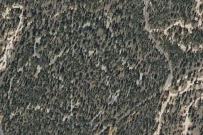
Ten-X Campground
Public Land · 400 ft · Tusayan
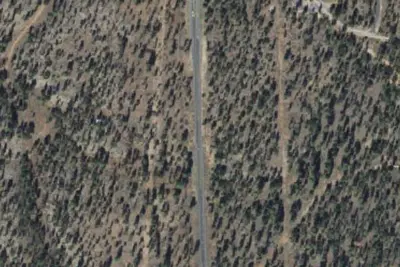
Tusayan-Montane (formerly Ten-X) Campground
Public Land · 0.5 mi · Tusayan
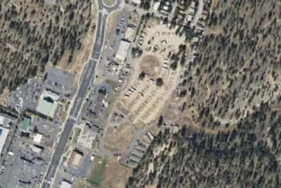
Grand Canyon Camper Village
Campground · 2.6 mi · Tusayan
3 more within 25 mi
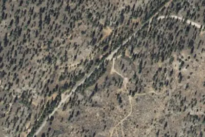
3 OpenStreetMap entries in Tusayan share one park. They may be individual sites of a single campground. Suggest a merge
Dispersed camping nearby
Free dispersed camping within 19 mi, on public land.
- 3.0 mi
Long Jim Loop Camping
Tusayan, AZ · On U.S. Forest Service land · Kaibab National Forest
- 9.7 mi
Havasupai Gardens Campground
Grand Canyon Village, AZ · On National Park Service land · Grand Canyon National Park
- 10 mi
Horseshoe Mesa Camp
Grand Canyon Village, AZ · On National Park Service land · Grand Canyon National Park
- 11 mi
Bright Angel Campground
Grand Canyon Village, AZ · On National Park Service land · Grand Canyon National Park
- 14 mi
Clear Creek Camp
Grand Canyon Village, AZ · On National Park Service land · Grand Canyon National Park
- 15 mi
Camp site
Valle, AZ · On U.S. Forest Service land · Kaibab National Forest
Location and contact
Data from Recreation Information Database (RIDB) / Recreation.gov, Recreation.gov — campground rate cards, USFS INFRA Recreation Sites
Something wrong here? Suggest an edit
Run this campground? Claim the listing