El Morro National Monument
1 campground in the park · 5 nearby within 25 mi
Photo: NPS Photo
1 current alert
As of Sep 20, 2026 · from nps.gov
- Park closureTrail ClosureA portion of the Headland Trail is closed due to ongoing restoration work. Access to the trail will now close at 2:30 pm daily. All hikers must be off the trails by 4:45 pm.
At a glance
- In the park
- 1 campground
- Near the park
- 5 campgroundsWithin 25 mi
Where to camp
Camping in the park 1
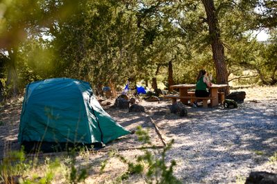
Camping near the park 5
- Aerial viewRV Park
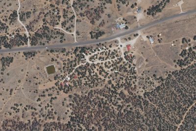
El Morro RV Park and Cabins
1.4 mi · El Morro Valley, NM
- Aerial viewPublic Land
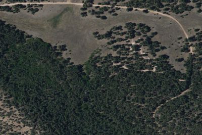
Ojo Redondo Campground
16 mi · Las Tusas, NM
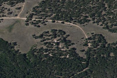
Services nearby: 1 dump station
About El Morro
Imagine the refreshment of finding water after days of dusty travel. A reliable waterhole hidden at the base of a sandstone bluff made El Morro (the headland) a popular campsite for hundreds of years. Here, ancestral Puebloans, Spanish, and American travelers…
Imagine the refreshment of finding water after days of dusty travel. A reliable waterhole hidden at the base of a sandstone bluff made El Morro (the headland) a popular campsite for hundreds of years. Here, ancestral Puebloans, Spanish, and American travelers carved over 2,000 signatures, dates, messages, and petroglyphs. Make El Morro National Monument a stopping point on your travels.
Photos: NPS Photo
Things to do
- Arts and Culture
- Astronomy
- Stargazing
- Camping
- Car or Front Country Camping
- RV Camping
- Food
- Picnicking
- Guided Tours
Plan your visit
Getting there
From Albuquerque, NM, or from the east: take Interstate 40 west to Grants. At exit 81, go south on Highway 53 for 42 miles to El Morro National Monument. From Flagstaff, AZ, or from the west: take Interstate 40 east to…
Weather
At an elevation of 7,219 feet (2200 meters) winters can be cold and snowy. Summers are warm with afternoon thunder showers from mid-July through mid-September. Trails can close unexpectedly due to severe weather…
Plan your visit
Hours
Summer Hours (May 24, 2026 - October 17, 2026). Park visitor center and trails open 7 days/week. Winter Hours (October 18, 2026 - May 27, 2027). Visitor center and trails open 5 days/week. Closed Tuesdays and Wednesdays. Trail access begins at 9:00 am. Last admittance to the Headland Trail is at 2:30 pm MT. Last admittance to the Inscription Loop Trail is at 4:00 pm MT. There is no access to park trails once the visitor center closes at 5:00 pm. Closed Thanksgiving Day, December 25, and January 1.
Getting there
From Albuquerque, NM, or from the east: take Interstate 40 west to Grants. At exit 81, go south on Highway 53 for 42 miles to El Morro National Monument. From Flagstaff, AZ, or from the west: take Interstate 40 east to Gallup. At exit 20, go south on Highway 602 for about 31 miles. Turn east (left) onto Highway 53. El Morro is 25 more miles.
Weather
At an elevation of 7,219 feet (2200 meters) winters can be cold and snowy. Summers are warm with afternoon thunder showers from mid-July through mid-September. Trails can close unexpectedly due to severe weather. Average snowfall: 40 inches per year. Average precipitation (snowmelt and rain): 16 inches per year. Warmest month: July, with average highs of 84 degrees and lows of 52 degrees. Coldest months: December and January, with average lows of 14-15 degrees, and average highs of 44-45 degrees.
Camped at El Morro? You could be the first to say which site you'd pick again.
Reviews, photos and cell signal reports from real stays help the next camper choose.