Bandelier National Monument
2 campgrounds in the park · 40 nearby within 25 mi
Photo: NPS Photo/Sally King
3 current alerts
As of Sep 20, 2026 · from nps.gov
- Park closureTsankawi Unit of Bandelier Closed TemporarilyThe Tsankawi Unit of Bandelier will be closed from Friday, September 18 to Wednesday, September 23rd, for staging and moving of materials for a trails and visitor improvement project. Materials for this project will be staged in the parking area. A helicopter will be onsite to move the material from the parking lot to the mesa. During this time, Tsankawi will be unsafe for visitors to be in the area during this operation.
- InformationUber, Lyft, and Other "Taxi" ServicesBandelier is in a remote location, with cell service in the canyon limited to Verizon 4G only. Services like Uber and Lyft will bring you here, but there may be no way to contact a ride out. Please plan your pickup before being dropped off at Bandelier.
- CautionThe Use of GPS is NOT RecommendedNumerous visitors have been routed to remote trailheads and out-of-the-way roads trying to use GPS to reach the main park area or shuttle stop.
At a glance
- Entrance
- $25 per vehicle
- In the park
- 2 campgrounds1 reserve on Recreation.gov
- Near the park
- 40 campgroundsWithin 25 mi
- Annual pass
- $45Bandelier only
Where to camp
Camping in the park 2
Camping near the park 40
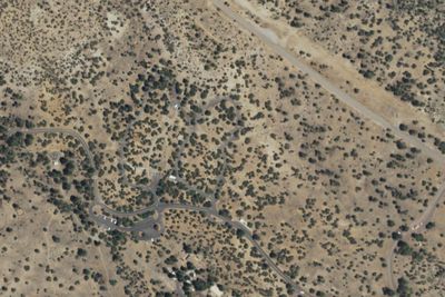
- Aerial viewCampground
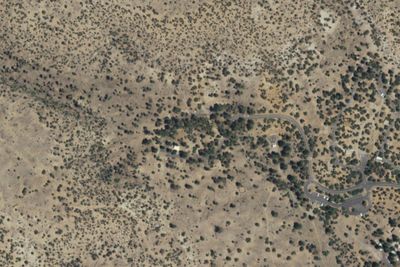
Juniper Campground Loop C
2.9 mi · White Rock, NM
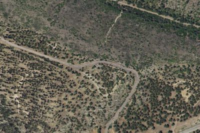
- Aerial viewCampground
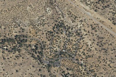
Juniper Campground Loop B
3.1 mi · White Rock, NM
Services nearby: 2 rest areas
About Bandelier
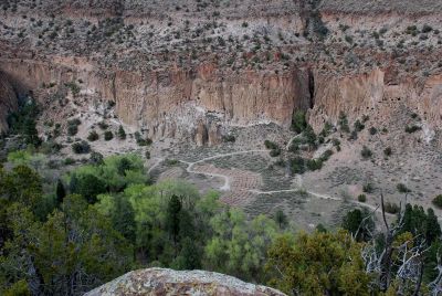
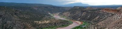
Bandelier National Monument protects over 33,000 acres of ruggedly beautiful canyon and mesa country. Petroglyphs, dwellings carved into the soft rock cliffs, and standing masonry walls pay tribute to the early days of a culture that still survives in the…
Bandelier National Monument protects over 33,000 acres of ruggedly beautiful canyon and mesa country. Petroglyphs, dwellings carved into the soft rock cliffs, and standing masonry walls pay tribute to the early days of a culture that still survives in the surrounding communities.
Photos: NPS Photo/Sally King
Things to do
- Arts and Culture
- Craft Demonstrations
- Cultural Demonstrations
- Astronomy
- Stargazing
- Camping
- Backcountry Camping
- Car or Front Country Camping
- Group Camping
Plan your visit
Getting there
From NM285 US84 in Pojaque NM. West on NM502, West on NM4 to White rock. Then 12 miles to the monument entrance on the south side of the road. Bandelier is in a remote location, with cell service in the canyon limited…
Weather
Spring daytime temperatures in the 70's can be followed by a snow storm with wet heavy snow and daytime temperatures in the 40's. Summers are dry with June usually being the hottest month of the year. Days in July…
Plan your visit
Fees and passes
- Private vehicle$25
- Motorcycle, 7 days$20
- Per person$15
- Bandelier annual pass$45
Hours
Bandelier National Monument is open every day from dawn to dusk unless impacted by severe weather or noted for specific holidays. The hours of dawn and dusk vary throughout the year so please come prepared knowing when you may have to exit the canyon. Visitors holding an overnight backcountry permit are allowed to be in the park after these hours following the guidance of their permit. The Juniper and Ponderosa campgrounds are open 24hrs.
Getting there
From NM285 US84 in Pojaque NM. West on NM502, West on NM4 to White rock. Then 12 miles to the monument entrance on the south side of the road. Bandelier is in a remote location, with cell service in the canyon limited to Verizon 4G only. Services like Uber and Lyft will bring you here, but there may be no way to contact a ride out. Please plan your pickup before being dropped off at Bandelier.
Weather
Spring daytime temperatures in the 70's can be followed by a snow storm with wet heavy snow and daytime temperatures in the 40's. Summers are dry with June usually being the hottest month of the year. Days in July, August and September often end with thunderstorms that can drop heavy localized rain and are often accompanied by lightning. Autumn weather is usually sunny with blue skies and warm (but not hot) days and cool nights. Winter average snowfall 25". Snow and ice can close trails and roads.
Camped at Bandelier? You could be the first to say which site you'd pick again.
Reviews, photos and cell signal reports from real stays help the next camper choose between Juniper Campground (NM) and Ponderosa Reservation Group Campground.