Chiricahua National Monument
1 campground in the park · 23 nearby · 16 free and dispersed sites within 25 mi
Photo: NPS Photo
1 current alert
As of Sep 20, 2026 · from nps.gov
- InformationVehicle Length & Trailer RestrictionsNo large vehicle turnaround after Faraway Ranch Parking (1 mile after entrance). Vehicles over 29 feet park at Faraway. Disconnect trailers at Faraway. Trailers with campground reservations proceed to camp. Scenic drive = 24 ft limit and no trailers.
At a glance
- Open
- Year-round
- In the park
- 1 campground
- Near the park
- 23 campgroundsWithin 25 mi
- Free and dispersed
- 16 sitesWithin 25 mi
Where to camp
Camping in the park 1
Camping near the park 23
- Aerial viewCampground
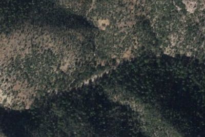
Fitch Corral Camp
7.9 mi · Sunizona, AZ
- Aerial viewPublic Land
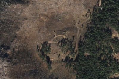
Rustler Park Campground
8.2 mi · Rodeo, AZ
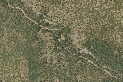
Free and dispersed nearby 16
See them on the map- Pinery Canyon CampgroundRodeo, AZ6.8 mi
- Barfoot Park CampgroundRodeo, AZ7.4 mi
- John Hands CampgroundRodeo, AZ12 mi
- Upper Maple CampRodeo, AZ14 mi
- Happy CampRodeo, AZ14 mi
- High CampRodeo, AZ14 mi
Services nearby: 2 dump stations · 2 rest areas
About Chiricahua
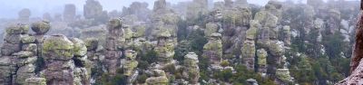
Explore rhyolite pinnacles and balanced rocks on foot or by car. Relax at the campground under star-filled, dark skies. See how a mountain range rising between two deserts creates a home for diverse wildlife. Imagine history here. Prehistoric peoples…
Explore rhyolite pinnacles and balanced rocks on foot or by car. Relax at the campground under star-filled, dark skies. See how a mountain range rising between two deserts creates a home for diverse wildlife. Imagine history here. Prehistoric peoples, Apaches, Buffalo Soldiers, Civilian Conservation Corps, ranchers, and homesteaders inhabited Chiricahua.
Photos: NPS Photo · NPS
Things to do
- Auto and ATV
- Scenic Driving
- Astronomy
- Stargazing
- Camping
- Food
- Picnicking
- Hiking
- Horse Trekking
Plan your visit
Getting there
Chiricahua National Monument is in the southeast corner of Arizona. Interstate I10 from LA or Tucson to El Paso or Lordsburg runs about 40 miles north of the park. Exits in Willcox to Hwy 186 are the most direct paved…
Weather
The park elevation goes from 5,124 feet at the entrance to 7,310 feet on Sugarloaf Mountain. The top of the park can be 5-10 degrees cooler and windier than the visitor center and entrance. The higher elevations…
Plan your visit
Hours
The road, campground, and facilities in the park are open overnight. Gates on the road will not be closed during overnight hours unless an emergency occurs. The park prohibits overnight parking, sleeping in vehicles, and camping outside the campground. The trails stay open for sunrise, sunset, and night sky viewing. Be aware of wildlife and use extreme caution.
Getting there
Chiricahua National Monument is in the southeast corner of Arizona. Interstate I10 from LA or Tucson to El Paso or Lordsburg runs about 40 miles north of the park. Exits in Willcox to Hwy 186 are the most direct paved access to the park from the north. (Exits 336, 340, and 344). Note: Exit 366 to Bowie will require driving 10 miles of dirt road. This route is recommended only if stopping at Fort Bowie National Historic Site.
Weather
The park elevation goes from 5,124 feet at the entrance to 7,310 feet on Sugarloaf Mountain. The top of the park can be 5-10 degrees cooler and windier than the visitor center and entrance. The higher elevations generally have more sun exposure. Clothing layers are always recommended here. The park is often cooler than cities in Arizona with summer highs in the 80s and 90s. Winter lows are often near or below freezing.
Camped at Chiricahua? You could be the first to say which site you'd pick again.
Reviews, photos and cell signal reports from real stays help the next camper choose.