Ponderosa Group Campground (NM)
Los Alamos, New Mexico · 7,592 ft · In Bandelier National Monument
Photos: NPS Photo
Wildfire 28 mi E: Frijoles, 15,956 acres, 90% contained
At a glance
5 of 8 facts known · recreation.gov, checked Sep 24, 2026
- Elevation
- 7,592 ft (2,314 m)7,592 ft2,314 m
Sites2
Ponderosa Group Campground (NM) lists no loops, so its sites are listed here. Pick a site to see its details.
All 2 shown · by site number
From recreation.gov's site list, Oct 10, 2026.
Other campgrounds in Bandelier National Monument 2
Nearest first. Every place inside the park's boundary.
- Juniper Campground3 loops · Loop A, Loop B, Loop C4.8 mi
- Juniper Campground (NM)4 loops · Abert's Squirrel, Abert's Squirrel Loop, Black Bear, Coyote · 52 sites · $20 a night · Reserve on Recreation.gov5.0 mi
Amenities
From National Park Service — campgrounds, OpenStreetMap, Overture Maps Foundation — Places, Recreation.gov, Recreation.gov — campground rate cards · Correct
- Campfires allowed
- Drinking water
- Toilets
From National Park Service — campgrounds, OpenStreetMap, Overture Maps Foundation — Places, Recreation.gov, Recreation.gov — campground rate cards
You could be the first camper hereYou could be the first camper on this page
Stayed here? Share what the next camper should know.
Free account · no email needed to browse
About
Overview
Ponderosa Group Campground is located 6 miles (9.7 km) from the park's main entrance and is an ideal place to stay for large groups visiting Bandelier National Monument. The campground is adjacent to Ponderosa Trailhead providing access to more than 70 miles (113 km) of hiking trails and is just a short drive from the Visitor Center, the Frijoles Canyon Shuttle System (mid-May to mid-October), and the town of Los Alamos, Valles Caldera National Preserve, Manhattan Project National Historic Site, and the Santa Fe National Forest.
Ponderosa Group Campground is open year-round (water is only available from mid-May to mid-October, subject to delays and/or early shut off). Same-day reservations are not permitted.
From National Park Service — campgrounds, OpenStreetMap, Overture Maps Foundation — Places, Recreation.gov, and Recreation.gov — campground rate cards · · Edit
Cell service
Report signal- Verizon4G LTE
- AT&T4G LTE
- T-Mobile5G · 4G LTE
Cell service at Ponderosa Group Campground (NM): FCC map Dec 2025
Weather
National Weather Service
- TueSunny, 4% chance of rain61°45°
- WedSunny, 14% chance of rain56°35°
- ThuSunny58°38°
- FriMostly Sunny, 6% chance of rain54°36°
- SatIsolated Rain Showers, 15% chance of rain54°41°
Nearby camping
SeeSee all on the mapOutside the park, nearest first.
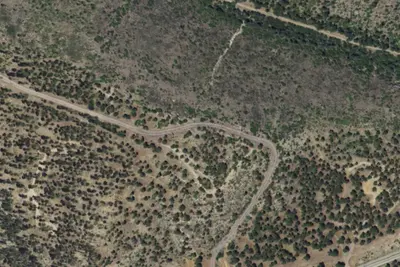
American Springs Dispersed Camping
Campground · 1.0 mi · Los Alamos
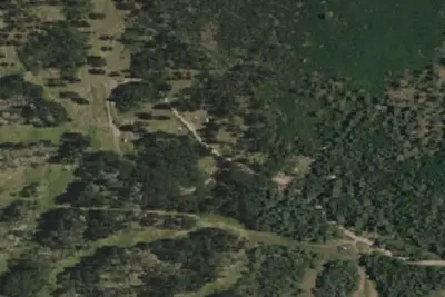
Camp site
Campground · 3.2 mi · Los Alamos
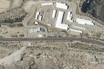
Camp May
Campground · 5.0 mi · Los Alamos
3 more within 25 mi
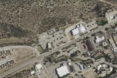
Location and contact
Data from National Park Service — campgrounds (NPS Data API), OpenStreetMap, Overture Maps Foundation — Places, Recreation Information Database (RIDB) / Recreation.gov, Recreation.gov — campground rate cards
Something wrong here? Suggest an edit
Run this campground? Claim the listing