Wassataquoik Campsite
Patten, Maine · 600 ft · In Katahdin Woods and Waters National Monument
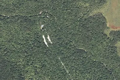
Aerial view · USGS / USDA NAIP · Public domain · source
At a glance
3 of 8 facts known · nps.gov, checked Sep 24, 2026
- Elevation
- 600 ft (183 m)600 ft183 m
Other campgrounds in Katahdin Woods and Waters National Monument 14
Nearest first. Every place inside the park's boundary.
- Lunksoos Mountain Lean-To1 site · Free · Reserve on Recreation.gov1.8 mi
- Esker Campsite1 site · Free · Reserve on Recreation.gov2.4 mi
- Katahdin Brook Lean-to1 site · Free · Reserve on Recreation.gov2.5 mi
- Big Seboeis Campsite1 site · Free · Reserve on Recreation.gov3.8 mi
- Lunksoos Campsites7 sites · Free · Reserve on Recreation.gov5.1 mi
- Sandbank Stream Campground3 sites · Free · Reserve on Recreation.gov5.2 mi
Also in the park: Group area: Katahdin Woods & Waters National Monument Camping 14 mi
Open the park pageAmenities
From National Park Service — campgrounds, OpenStreetMap · Correct
- Backcountry camping
From National Park Service — campgrounds, OpenStreetMap
You could be the first camper hereYou could be the first camper on this page
Stayed here? Share what the next camper should know.
Free account · no email needed to browse
About
A beautiful primitive hike or bike in campsite located next to Katahdin Brook along the International Appalachian Trail. The campsite is near the Wassataquoik Lean-to and is 0.9 miles from the Wassataquoik Gate trailhead. It is also accessible by hiking or biking 1.4 miles from Barnard Mountain Trailhead.
From National Park Service — campgrounds and OpenStreetMap · Edit
Cell service
Report signalFCC map: no coverage reported
- VerizonNo coverage on FCC map
- AT&TNo coverage on FCC map
- T-MobileNo coverage on FCC map
Cell service at Wassataquoik Campsite: FCC map Dec 2025
Weather
National Weather Service
- WedLight Rain, 78% chance of rain51°37°
- ThuSunny48°32°
- FriRain And Snow, 98% chance of rain43°32°
- SatChance Rain And Snow, 30% chance of rain39°26°
- SunSunny, 3% chance of rain41°28°
Nearby camping
SeeSee all on the mapOutside the park, nearest first.
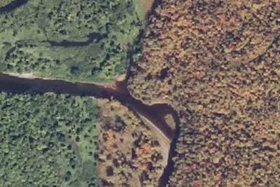
Fiske Brook
Campground · 3.8 mi · Patten
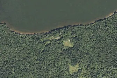
Katahdin Lake Camps
Campground · 3.8 mi · North Penobscot
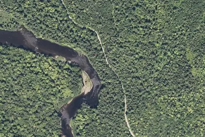
Elbow
Campground · 3.9 mi · Patten
3 more within 25 mi
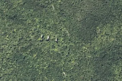
Dispersed camping nearby
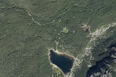
Free dispersed camping within 19 mi, on public land.
Location and contact
Data from National Park Service — campgrounds (NPS Data API), OpenStreetMap
Something wrong here? Suggest an edit
Run this campground? Claim the listing