Katahdin Woods & Waters National Monument Camping
North Penobscot, Maine · 646 ft · In Katahdin Woods and Waters National Monument
Photos: NPS/R.Wang
At a glance
4 of 8 facts known · recreation.gov, checked Oct 3, 2026
- Elevation
- 646 ft (197 m)646 ft197 m
Loops2
Pick a loop to see its sites.
From recreation.gov's site list, Oct 10, 2026: 2 staff entries left out. Loop names are trimmed and merged.
Other campgrounds in Katahdin Woods and Waters National Monument 14
Nearest first. Every place inside the park's boundary.
- Upper East Branch Campsite1 site · Free · Reserve on Recreation.gov0.8 mi
- Stair Falls Campsite1 site · Free · Reserve on Recreation.gov2.9 mi
- Haskell Hut1 site · Free · Reserve on Recreation.gov3.5 mi
- Haskell Deadwater Campsite1 site · Free · Reserve on Recreation.gov3.9 mi
- Pond Pitch Campsite1 site · Free · Reserve on Recreation.gov4.8 mi
- Grand Pitch Lean-to1 site · Free · Reserve on Recreation.gov5.3 mi
Also in the park: 1 backcountry camp
Open the park pageAmenities
From Recreation.gov, Recreation.gov — campground rate cards · Correct
- Campfires allowed
- Toilets
From Recreation.gov, Recreation.gov — campground rate cards
You could be the first camper hereYou could be the first camper on this page
Stayed here? Share what the next camper should know.
Free account · no email needed to browse
About
Overview
Katahdin Woods and Waters National Monument is located in Maine’s north woods. Katahdin Woods and Waters protects part of an extraordinary natural and cultural landscape: the mountains, woods, and waters where the East Branch of the Penobscot River and its tributaries, including the Wassataquoik Stream and the Seboeis River, run freely. Campsites, lean-tos and huts located throughout the monument provide opportunities to stay overnight while hiking, biking, paddling and enjoying other recreational activities.
Recreation
There are many ways visitors can experience Katahdin Woods and Waters National Monument. Below are a few recommended activities:
From Recreation.gov and Recreation.gov — campground rate cards · · Edit
Cell service
Report signalFCC map: no coverage reported
- VerizonNo coverage on FCC map
- AT&TNo coverage on FCC map
- T-MobileNo coverage on FCC map
Cell service at Katahdin Woods & Waters National Monument Camping: FCC map Dec 2025
Weather
National Weather Service
- WedLight Rain, 84% chance of rain51°35°
- ThuSunny49°30°
- FriSlight Chance Light Snow then Rain And Snow, 98% chance of rain43°32°
- SatChance Rain And Snow, 31% chance of rain40°25°
- SunSunny, 3% chance of rain42°27°
Nearby camping
SeeSee all on the mapOutside the park, nearest first.
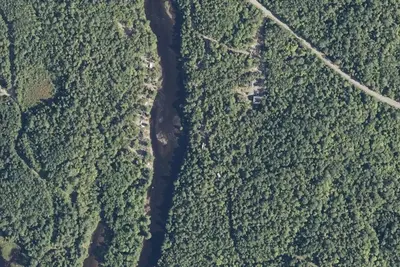
Camp site
Campground · 0.6 mi · North Penobscot
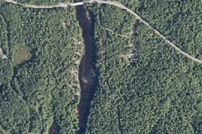
Camp site
Campground · 0.6 mi · North Penobscot
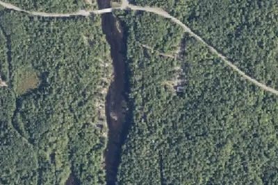
Camp site
Campground · 0.6 mi · North Penobscot
3 more within 25 mi
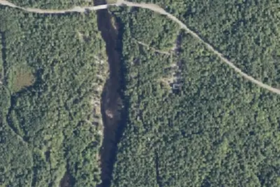
Dispersed camping nearby
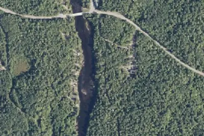
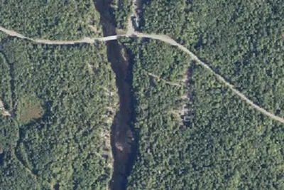
Free dispersed camping within 19 mi, on public land.
Location and contact
Data from Recreation Information Database (RIDB) / Recreation.gov, Recreation.gov — campground rate cards
Something wrong here? Suggest an edit
Run this campground? Claim the listing