Twin Lakes Campground
Kane, Pennsylvania · 1,752 ft
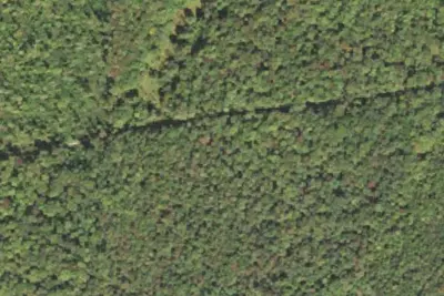
Aerial view · USGS / USDA NAIP · Public domain · source
At a glance
2 of 8 facts known · Forest Service data, checked Oct 3, 2026
- Elevation
- 1,752 ft (534 m)1,752 ft534 m
Amenities
From OpenStreetMap, Overture Maps Foundation — Places, USFS INFRA Recreation Sites · Correct
- Caravan / RV sites
- Tent sites
From OpenStreetMap, Overture Maps Foundation — Places, USFS INFRA Recreation Sites
You could be the first camper hereYou could be the first camper on this page
Stayed here? Share what the next camper should know.
Free account · no email needed to browse
About
Twin Lakes was once the site of factory buildings, stores and row houses owned by the McKean Chemical Company which made wood alcohol. A company splash dam, used to augment water levels for the chemical plant downstream once occupied the site of today's dam. When McKean Chemical Company closed in the 1920s, the US Forest Service acquired the property.
In 1936, the Civilian Conservation Corps (CCC) constructed the present dam on Hoffman Run, creating the swimming impoundment. They built the lower campground, picnic area, pavilion and bathhouse. The ""twin"" impoundment was never built, as money planned for its construction was diverted to build Loleta Recreation Area near Marienville, PA.
From OpenStreetMap, Overture Maps Foundation — Places, and USFS INFRA Recreation Sites · · Edit
Cell service
Report signalFCC map: no coverage reported
- VerizonNo coverage on FCC map
- AT&TNo coverage on FCC map
- T-MobileNo coverage on FCC map
Cell service at Twin Lakes Campground: FCC map Dec 2025
Weather
National Weather Service
- WedChance Rain Showers, 43% chance of rain69°44°
- ThuMostly Sunny, 12% chance of rain65°54°
- FriRain Showers, 99% chance of rain63°29°
- SatChance Rain And Snow Showers then Mostly Sunny, 30% chance of rain45°27°
- SunWidespread Frost then Sunny57°32°
Nearby camping
SeeSee all on the map
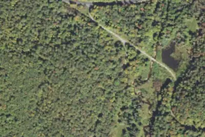
Twin Lakes (Pa)
Public Land · 0.3 mi · James City
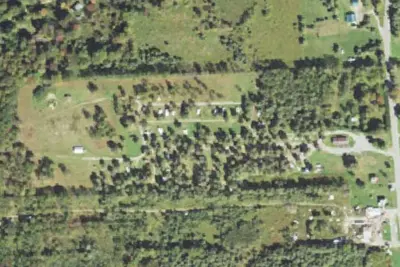
Red Mill Pond
Campground · 5.5 mi · Johnsonburg
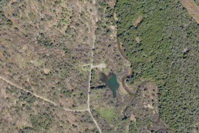
High Pines RV Park
Campground · 7.5 mi · Mount Jewett
3 more within 25 mi
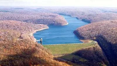
Dispersed camping nearby
Free dispersed camping within 19 mi, on public land.
- 10 mi
Two Mile Campsite
Kane, PA · On U.S. Forest Service land · Allegheny National Forest
- 11 mi
Rock City Campsite
Sheffield, PA · On U.S. Forest Service land · Allegheny National Forest
- 11 mi
Fox's Dam
Sheffield, PA · On U.S. Forest Service land · Allegheny National Forest
- 12 mi
Bliss Hill Campsite
Kane, PA · On U.S. Forest Service land · Allegheny National Forest
- 14 mi
Root Run Campsite
Kane, PA · On U.S. Forest Service land · Allegheny National Forest
- 14 mi
Caterpillar Tree Campsite
Sheffield, PA · On U.S. Forest Service land · Allegheny National Forest
Location and contact
Data from OpenStreetMap, Overture Maps Foundation — Places, USFS INFRA Recreation Sites
Something wrong here? Suggest an edit
Run this campground? Claim the listing