Sunshine
British Columbia, Canada · 625 m
Wildfire 51 km E: Upper Smith, 4,848 acres, 41% contained
At a glance
2 of 8 facts known · OpenStreetMap, checked Oct 4, 2026
- Elevation
- 625 m (2,051 ft)625 m2,051 ft
Amenities
You could be the first camper hereYou could be the first camper on this page
Stayed here? Share what the next camper should know.
Free account · no email needed to browse
About
Camping only available to Shambhala Music Festival attendees
From OpenStreetMap · Edit
Weather
Open-Meteo
- TueOvercast, 2% chance of rain56°32°
- WedOvercast, 9% chance of rain66°41°
- ThuOvercast67°46°
- FriOvercast69°46°
- SatModerate rain showers, 7% chance of rain63°39°
Nearby camping
SeeSee all on the mapStarlight
Campground · 640 m
Shambhalodging
Campground · 860 m
Shambhala Music Festival
Campground · 870 m
3 more within 40 km
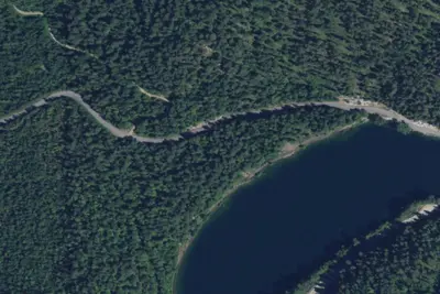
Dispersed camping nearby
Free dispersed camping within 30 km, on public land.
- 19 km
Erie Creek Recreation Site
BC
- 27 km
Gypsy Meadows Campsite
Metaline Falls, WA · On U.S. Forest Service land · Colville National Forest
- 27 km
Sullivan Creek Campground 18
Metaline Falls, WA · On U.S. Forest Service land · Colville National Forest
- 27 km
Sullivan Creek Campground 17
Metaline Falls, WA · On U.S. Forest Service land · Colville National Forest
- 28 km
Sullivan Creek Campground 16
Metaline Falls, WA · On U.S. Forest Service land · Colville National Forest
- 28 km
Moon Flats
Metaline Falls, WA · On U.S. Forest Service land · Colville National Forest
Location and contact
Something wrong here? Suggest an edit
Run this campground? Claim the listing