Rob Hill Campground
San Francisco, California · 344 ft · In Golden Gate National Recreation Area
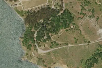
Aerial view · USGS / USDA NAIP · Public domain · source
Photos taken nearby
From Wikimedia Commons, taken close to this campground — not necessarily pictures of it.
At a glance
3 of 8 facts known · from OpenStreetMap and USGS
- Elevation
- 344 ft (105 m)344 ft105 m
- Land
- Golden Gate National Recreation Area
National Park Service
Other campgrounds in Golden Gate National Recreation Area 4
Nearest first. Every place inside the park's boundary.
- Kirby Cove Campground2 loops · Day Use Area and KIRBY COVE CAMPGROUND AREA · 6 sites · $40 a night · Reserve on Recreation.gov2.3 mi
- Bicentennial Campground3 sites · $25 a night · Reserve on Recreation.gov3.6 mi
- Hawk Campground3 sites · $25 a night · Reserve on Recreation.gov4.6 mi
- Haypress Campground6 sites · $25 a night · Reserve on Recreation.gov5.9 mi
Also in the park: Group area: Rob Hill Group Campground 440 ft · Group area: [CLOSED] Toyon Group Camp 2 26 mi
Open the park pageAmenities
You could be the first camper hereYou could be the first camper on this page
Stayed here? Share what the next camper should know.
Free account · no email needed to browse
About
Open for public tent camping from April 1 to October 31, Rob Hill offers 4 (2 are accessible) group campsites that each can welcome up to 30 people. Sites must be reserved in advance through Recreation.gov. In addition to providing easy access to Presidio trails and views, each campsite comes with amenities like picnic tables and grills, as well as access to indoor restrooms.
From National Park Service — campgrounds, OpenStreetMap, and Overture Maps Foundation — Places · Edit
Cell service
Report signal- Verizon5G · 4G LTE
- AT&T5G · 4G LTE
- T-Mobile5G · 4G LTE
Cell service at Rob Hill Campground: FCC map Dec 2025
Weather
National Weather Service
- TueSunny63°53°
- WedSunny63°53°
- ThuSunny72°57°
- FriSunny75°57°
- SatSunny65°56°
Nearby camping
SeeSee all on the mapOutside the park, nearest first.
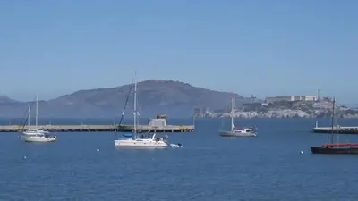
Aquatic Park Cove, Black Point Overnight Anchoring, Sailing Vessels only (auxiliary engine OK)
National Park · 3.0 mi · San Francisco
Costco
Overnight Parking · 3.9 mi · San Francisco
Costco · San Francisco
Overnight Parking · 4.0 mi · San Francisco
3 more within 25 mi
Dispersed camping nearby
Free dispersed camping within 19 mi, on public land.
Location and contact
Data from National Park Service — campgrounds (NPS Data API), OpenStreetMap, Overture Maps Foundation — Places
Something wrong here? Suggest an edit
Run this campground? Claim the listing