Bicentennial Campground
Tamalpais-Homestead Valley, California · 49 ft · In Golden Gate National Recreation Area
Photos: Lara Volski NPS
At a glance
3 of 8 facts known · recreation.gov, checked Sep 24, 2026
- Elevation
- 49 ft (15 m)49 ft15 m
Sites3
Bicentennial Campground lists no loops, so its sites are listed here. Pick a site to see its details.
From recreation.gov's site list, Oct 10, 2026.
Other campgrounds in Golden Gate National Recreation Area 4
Nearest first. Every place inside the park's boundary.
- Hawk Campground3 sites · $25 a night · Reserve on Recreation.gov1.6 mi
- Kirby Cove Campground2 loops · Day Use Area and KIRBY COVE CAMPGROUND AREA · 6 sites · $40 a night · Reserve on Recreation.gov1.9 mi
- Haypress Campground6 sites · $25 a night · Reserve on Recreation.gov2.4 mi
- Rob Hill CampgroundNational Park · facts not yet known3.6 mi
Also in the park: Group area: Rob Hill Group Campground 3.5 mi · Group area: [CLOSED] Toyon Group Camp 2 29 mi
Open the park pageAmenities
You could be the first camper hereYou could be the first camper on this page
Stayed here? Share what the next camper should know.
Free account · no email needed to browse
About
Overview
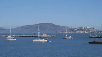
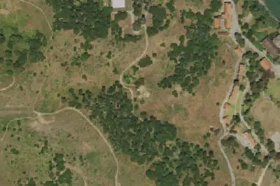
Bicentennial Campground is in an ideal location in the Marin Headlands surrounded by a grove of cypress trees. The campground is a great location for those wanting to camp near the city. There is a moderate short hill to climb to/from the campground from the parking area, which means car or RV camping is not allowed. It is downhill to the site and uphill back to the parking area.
Recreation
The Marin Headlands is noted for its great hiking, and many trails with scenic views are close by. Rodeo Beach is about 1.5 miles away. Point Bonita Lighthouse and the historic Nike Site are within walking distance.
From National Park Service — campgrounds, OpenStreetMap, Overture Maps Foundation — Places, Recreation.gov, and Recreation.gov — campground rate cards · · Edit
Cell service
Report signal- Verizon5G · 4G LTE
- AT&T5G · 4G LTE
- T-Mobile4G LTE
Cell service at Bicentennial Campground: FCC map Dec 2025
Weather
National Weather Service
- TueSunny63°53°
- WedSunny64°54°
- ThuSunny73°57°
- FriSunny76°56°
- SatSunny69°55°
Nearby camping
SeeSee all on the mapOutside the park, nearest first.
Frank Valley Group Horse Campground
Campground · 4.5 mi · Muir Beach
Ridge Sites
Dispersed · 5.0 mi · Tiburon
Site 10
Campground · 5.0 mi · Tiburon
3 more within 25 mi
Dispersed camping nearby
Free dispersed camping within 19 mi, on public land.
- 5.0 mi
Ridge Sites
Tiburon, CA · On State agency land · Angel Island State Park
- 18 mi
Group Horse Camp 1
Lagunitas-Forest Knolls, CA · On State agency land · Samuel P. Taylor State Park
- 18 mi
Group Camp 2
Lagunitas-Forest Knolls, CA · On State agency land · Samuel P. Taylor State Park
- 18 mi
Sibley Back Pack Camp
Oakland, CA · On Local government (special district) land · Sibley Volcanic Regional Preserve
Location and contact
Data from National Park Service — campgrounds (NPS Data API), OpenStreetMap, Overture Maps Foundation — Places, Recreation Information Database (RIDB) / Recreation.gov, Recreation.gov — campground rate cards
Something wrong here? Suggest an edit
Run this campground? Claim the listing