Observatory Campground
Aguanga, California · 4,869 ft · In Cleveland National Forest
Photos: Local staff
At a glance
5 of 8 facts known · recreation.gov, checked Sep 24, 2026
- Elevation
- 4,869 ft (1,484 m)4,869 ft1,484 m
Sites28
Observatory Campground lists no loops, so its sites are listed here. Pick a site to see its details.
- 001/002Standard · up to 15 people12 ft
- 003Standard · accessible · up to 8 people12 ft
- 005Standard · up to 8 people12 ft
- 006Standard · up to 8 people12 ft
- 008Standard · up to 8 people12 ft
- 009Standard · up to 8 people12 ft
- 010Standard · up to 8 people12 ft
- 011Standard · up to 8 people12 ft
- 013Standard · up to 8 people12 ft
- 017Standard · up to 8 people15 ft
Showing 10 of 28 · by site number
From recreation.gov's site list, Oct 10, 2026.
Amenities
From OpenStreetMap, Overture Maps Foundation — Places, Recreation.gov, Recreation.gov — campground rate cards, USDA Forest Service — Recreation Opportunities, USFS INFRA Recreation Sites · Correct
- ADA accessible
- Campfires allowed
From OpenStreetMap, Overture Maps Foundation — Places, Recreation.gov, Recreation.gov — campground rate cards, USDA Forest Service — Recreation Opportunities, USFS INFRA Recreation Sites
You could be the first camper hereYou could be the first camper on this page
Stayed here? Share what the next camper should know.
Free account · no email needed to browse
About
Overview
Science buffs and families are drawn to Observatory Campground for its proximity to the Palomar Observatory, a world-class center of astronomy research operated by the California Institute of Technology. Just two miles from the observatory, the campground provides visitors with a unique learning experience in the great outdoors. The facility offers a variety of amenities for both tent and RV camping. Hiking, biking and picnicking can be found nearby.Recreation
An exciting amateur astronomy project, Explore the Stars, occurs at the campground on several weekends each summer. A group of amateur astronomers from all across Southern California shares the beauty and awe of the night sky to more than a hundred non-astronomers at the campground. Visitors can also walk a 2.25-mile trail to the observatory itself.
From OpenStreetMap, Overture Maps Foundation — Places, Recreation.gov, Recreation.gov — campground rate cards, USDA Forest Service — Recreation Opportunities, and USFS INFRA Recreation Sites · · Edit
Cell service
Report signal- Verizon4G LTE
- AT&T5G · 4G LTE
- T-Mobile5G · 4G LTE
Cell service at Observatory Campground: FCC map Dec 2025
Weather
National Weather Service
- WedSunny70°53°
- ThuSunny73°59°
- FriSunny, 1% chance of rain73°57°
- SatSunny, 1% chance of rain67°54°
- SunSunny69°54°
Nearby camping
SeeSee all on the map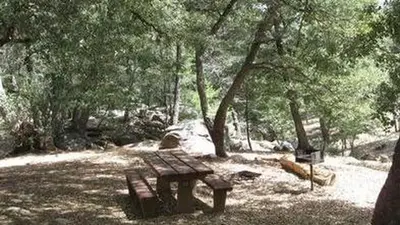
Fry Creek Campground
Public Land · 0.2 mi · Aguanga
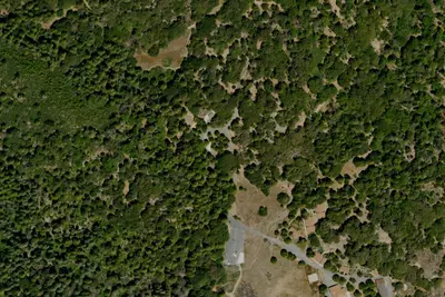
Doane valley camp ground
Campground · 1.3 mi · Aguanga
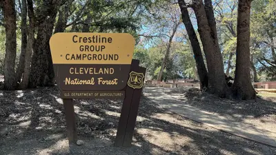
Crestline Group Campground
Public Land · 2.1 mi · Valley Center
3 more within 25 mi
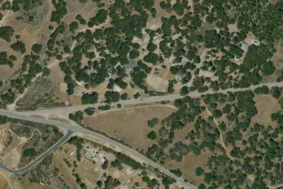
3 OpenStreetMap entries in Aguanga share one park. They may be individual sites of a single campground. Suggest a merge
Dispersed camping nearby
Free dispersed camping within 19 mi, on public land.
- 16 mi
Camp site
Anza, CA · On State agency land · Anza-Borrego Desert State Park
- 17 mi
Camp site
Anza, CA · On State agency land · Anza-Borrego Desert State Park
- 17 mi
Camp site
Anza, CA · On State agency land · Anza-Borrego Desert State Park
- 17 mi
Camp site
Anza, CA · On State agency land · Anza-Borrego Desert State Park
- 18 mi
Camp site
Anza, CA · On State agency land · Anza-Borrego Desert State Park
- 18 mi
Camp site
Anza, CA · On State agency land · Anza-Borrego Desert State Park
Location and contact
Data from OpenStreetMap, Overture Maps Foundation — Places, Recreation Information Database (RIDB) / Recreation.gov, Recreation.gov — campground rate cards, USDA Forest Service — Recreation Opportunities, USFS INFRA Recreation Sites
Something wrong here? Suggest an edit
Run this campground? Claim the listing