Fry Creek Campground
Aguanga, California · 4,961 ft · In Cleveland National Forest
Photos: Local staff
At a glance
5 of 8 facts known · recreation.gov, checked Sep 24, 2026
- Elevation
- 4,961 ft (1,512 m)4,961 ft1,512 m
Sites12
Fry Creek Campground lists no loops, so its sites are listed here. Pick a site to see its details.
- 001Standard · up to 8 people10 ft
- 002Standard · up to 8 people10 ft
- 005Standard · up to 8 people12 ft
- 006Standard · up to 8 people12 ft
- 007Standard · up to 8 people12 ft
- 009Standard · up to 8 people12 ft
- 010Standard · up to 8 people12 ft
- 011Standard · up to 8 people10 ft
- 015Standard · up to 8 people12 ft
- 017Standard · up to 8 people10 ft
Showing 10 of 12 · by site number
From recreation.gov's site list, Oct 10, 2026.
Amenities
From OpenStreetMap, Overture Maps Foundation — Places, Recreation.gov, Recreation.gov — campground rate cards, USDA Forest Service — Recreation Opportunities, USFS INFRA Recreation Sites · Correct
- Campfires allowed
From OpenStreetMap, Overture Maps Foundation — Places, Recreation.gov, Recreation.gov — campground rate cards, USDA Forest Service — Recreation Opportunities, USFS INFRA Recreation Sites
You could be the first camper hereYou could be the first camper on this page
Stayed here? Share what the next camper should know.
Free account · no email needed to browse
About
Overview
Fry Creek Campground is situated in the heart of Cleveland National Forest, uniquely located down the road from the world-famous Palomar Observatory. The fresh, clean air of the campground provides a refreshing getaway for visitors from San Diego and Los Angeles.
The observatory, atop Palomar Mountain, boasts five high-tech telescopes, among them, the massive 200-inch Hale Telescope, was the world's largest effective telescope for about 45 years. The observatory is owned by the California Institute of Technology and astronomical research includes near-Earth asteroids and the study of distant galaxies.
From OpenStreetMap, Overture Maps Foundation — Places, Recreation.gov, Recreation.gov — campground rate cards, USDA Forest Service — Recreation Opportunities, and USFS INFRA Recreation Sites · · Edit
Cell service
Report signal- Verizon4G LTE
- AT&T5G · 4G LTE
- T-Mobile5G · 4G LTE
Cell service at Fry Creek Campground: FCC map Dec 2025
Weather
National Weather Service
- TueSunny55°48°
- WedSunny70°53°
- ThuSunny73°59°
- FriSunny, 1% chance of rain73°57°
- SatSunny, 1% chance of rain67°54°
Nearby camping
SeeSee all on the map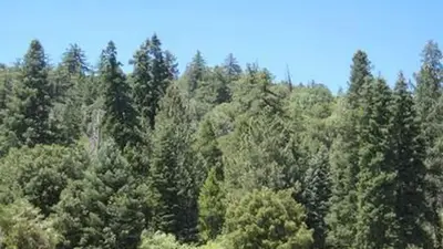
Observatory Campground
Public Land · 0.2 mi · Aguanga
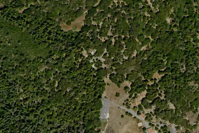
Doane valley camp ground
Campground · 1.3 mi · Aguanga
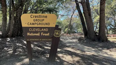
Crestline Group Campground
Public Land · 2.4 mi · Valley Center
3 more within 25 mi
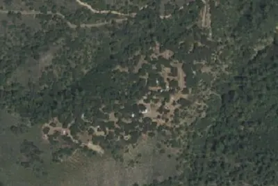
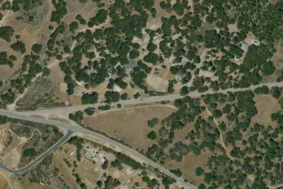
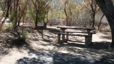
3 OpenStreetMap entries in Aguanga share one park. They may be individual sites of a single campground. Suggest a merge
Dispersed camping nearby
Free dispersed camping within 19 mi, on public land.
- 16 mi
Camp site
Anza, CA · On State agency land · Anza-Borrego Desert State Park
- 17 mi
Camp site
Anza, CA · On State agency land · Anza-Borrego Desert State Park
- 17 mi
Camp site
Anza, CA · On State agency land · Anza-Borrego Desert State Park
- 17 mi
Camp site
Anza, CA · On State agency land · Anza-Borrego Desert State Park
- 18 mi
Camp site
Anza, CA · On State agency land · Anza-Borrego Desert State Park
- 18 mi
Camp site
Anza, CA · On State agency land · Anza-Borrego Desert State Park
Location and contact
Data from OpenStreetMap, Overture Maps Foundation — Places, Recreation Information Database (RIDB) / Recreation.gov, Recreation.gov — campground rate cards, USDA Forest Service — Recreation Opportunities, USFS INFRA Recreation Sites
Something wrong here? Suggest an edit
Run this campground? Claim the listing