North Arm Campground (Timothy Lake, OR)
Government Camp, Oregon · 3,241 ft · In Mt. Hood National Forest
Photos: PGE Parks
Wildfire 9.2 mi SW: Austin, 12,888 acres, 98% contained
At a glance
6 of 8 facts known · recreation.gov, checked Sep 24, 2026
- Elevation
- 3,241 ft (988 m)3,241 ft988 m
Loops2
Pick a loop to see its sites.
From recreation.gov's site list, Oct 10, 2026: 1 staff entry left out. Loop names are trimmed and merged.
Amenities
From OpenStreetMap, Recreation.gov, Recreation.gov — campground rate cards, USDA Forest Service — Recreation Opportunities, USFS INFRA Recreation Sites · Correct
- ADA accessible
- Campfires allowed
From OpenStreetMap, Recreation.gov, Recreation.gov — campground rate cards, USDA Forest Service — Recreation Opportunities, USFS INFRA Recreation Sites
You could be the first camper hereYou could be the first camper on this page
Stayed here? Share what the next camper should know.
Free account · no email needed to browse
About
Overview
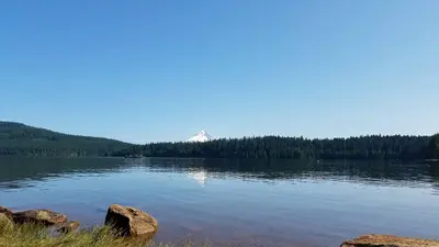
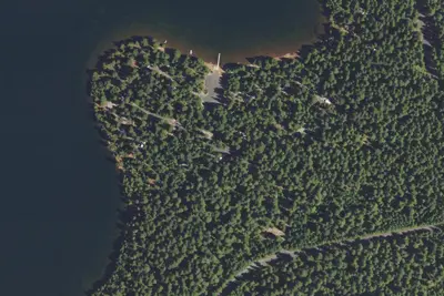
The North Arm Campground sits on the shores of Timothy Lake, in the shadow of Oregon's Mt. Hood. The surrounding forest setting offers spectacular views, wetlands, trails for exploration, and abundant fishing. This campground is smaller and more secluded than the others on the south side of the lake.
DRIVING NOTE: There are two routes to North Arm Campground—one is rugged and one is suitable for RVs and trailers. Recommended Route: From Sandy, Oregon, travel east on Highway 26 for approximately 40 miles to Skyline Road / FS Road 42. Turn right on Skyline Road, and continue south for about 9 miles. Turn right on FS Road 57, and travel west for approximately 3 ½ miles, crossing the dam at Timothy Lake. Take the 2nd right onto FS Road 5810. North Arm is approximately 5 ½ miles from here. Keep right at all intersections—the road becomes FS Road 5890. The campground is on the right.
From OpenStreetMap, Recreation.gov, Recreation.gov — campground rate cards, USDA Forest Service — Recreation Opportunities, and USFS INFRA Recreation Sites · · Edit
Cell service
Report signal- Verizon4G LTE
- AT&T5G · 4G LTE
- T-MobileNo coverage on FCC map
Cell service at North Arm Campground (Timothy Lake, OR): FCC map Dec 2025
Weather
National Weather Service
- WedAreas Of Fog then Sunny, 6% chance of rain63°42°
- ThuPatchy Fog then Sunny63°41°
- FriSunny72°41°
- SatChance Light Rain, 31% chance of rain53°34°
- SunMostly Sunny, 11% chance of rain57°36°
Nearby camping
SeeSee all on the map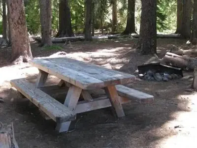
Little Crater Lake
Public Land · 1.3 mi · Government Camp
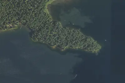
Timothy Lake - Meditation Point Campground
Public Land · 1.4 mi · Government Camp
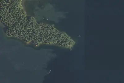
epic camp spot
Campground · 1.5 mi · Government Camp
3 more within 25 mi

5 OpenStreetMap entries in Government Camp share one park. They may be individual sites of a single campground. Suggest a merge
Dispersed camping nearby
Free dispersed camping within 19 mi, on public land.
- 8.1 mi
Camp site
Government Camp, OR · On U.S. Forest Service land · Mt. Hood National Forest
- 9.2 mi
Goat Creek Camp
Rhododendron, OR · On U.S. Forest Service land · Mt. Hood National Forest
- 14 mi
Camp site
Government Camp, OR · On U.S. Forest Service land · Mt. Hood National Forest
- 14 mi
Burnt Lake campsite #6
Rhododendron, OR · On U.S. Forest Service land · Mt. Hood National Forest
- 14 mi
Burnt Lake campsite #3
Rhododendron, OR · On U.S. Forest Service land · Mt. Hood National Forest
- 14 mi
Burnt Lake campsite #4
Rhododendron, OR · On U.S. Forest Service land · Mt. Hood National Forest
Location and contact
Data from OpenStreetMap, Recreation Information Database (RIDB) / Recreation.gov, Recreation.gov — campground rate cards, USDA Forest Service — Recreation Opportunities, USFS INFRA Recreation Sites
Something wrong here? Suggest an edit
Run this campground? Claim the listing