Marble Creek Recreation Area
Arcadia, Missouri · 659 ft
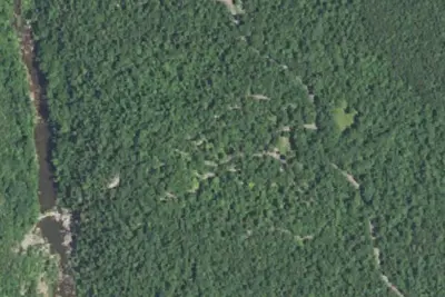
Aerial view · USGS / USDA NAIP · Public domain · source
At a glance
3 of 8 facts known · Forest Service data, checked Oct 3, 2026
- Elevation
- 659 ft (201 m)659 ft201 m
- Land
- Mark Twain National Forest
U.S. Forest Service
Amenities
You could be the first camper hereYou could be the first camper on this page
Stayed here? Share what the next camper should know.
Free account · no email needed to browse
About
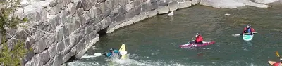
Marble Creek, which travels through the National Forest for about 20 miles, is named for its colorful deposits of dolomite, which was mined and used as Taum Sauk Marble; many years ago. The mineral dolomite is the main component of the sedimentary rock that is also called dolomite. It is similar to the mineral calcite but contains magnesium as well as calcium. Just based on looks, the rock dolomite is often impossible to distinguish from limestone, which is composed mainly of calcite. Previously, a grist mill operated in the area operated until 1935. Remains of the grist mill dam and building are still visible today. The site is remote, with the nearest town about 20 minutes away and there is no cell service. This is a great campground to visit if you are looking for a quiet visit to the forest. This is also a great place for swimming and fishing. Campsites are shaded by the tall trees around the area.
Fees: Overnight Use:
From OpenStreetMap, USDA Forest Service — Recreation Opportunities, and USFS INFRA Recreation Sites · · Edit
Cell service
Report signalFCC map: no coverage reported
- VerizonNo coverage on FCC map
- AT&TNo coverage on FCC map
- T-MobileNo coverage on FCC map
Cell service at Marble Creek Recreation Area: FCC map Dec 2025
Weather
National Weather Service
- WedShowers And Thunderstorms Likely then Patchy Fog, 86% chance of rain83°65°
- ThuChance Showers And Thunderstorms, 34% chance of rain88°50°
- FriSlight Chance Rain Showers then Mostly Sunny, 23% chance of rain63°36°
- SatSunny65°36°
- SunSunny71°44°
Nearby camping
SeeSee all on the map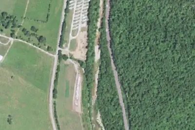
Big Creek RV Park and Campground
Campground · 8.8 mi · Annapolis
Silver Mines
Public Land · 9.0 mi · Fredericktown
Riverside Campground
Dispersed · 9.0 mi · Fredericktown
3 more within 25 mi
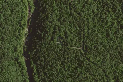
4 OpenStreetMap entries in Arcadia share one park. They may be individual sites of a single campground. Suggest a merge
Dispersed camping nearby
Free dispersed camping within 19 mi, on public land.
- 9.0 mi
Riverside Campground
Fredericktown, MO · On U.S. Forest Service land · Mark Twain National Forest
- 9.3 mi
Prospect Camground
Fredericktown, MO · On U.S. Forest Service land · Mark Twain National Forest
- 9.6 mi
Spring Branch Overflow Campground
Fredericktown, MO · On U.S. Forest Service land · Mark Twain National Forest
Location and contact
Data from OpenStreetMap, USDA Forest Service — Recreation Opportunities, USFS INFRA Recreation Sites
Something wrong here? Suggest an edit
Run this campground? Claim the listing