Silver Mines
Fredericktown, Missouri · 597 ft · In Mark Twain National Forest
Photos: US Forest Service
At a glance
7 of 8 facts known · recreation.gov, checked Sep 24, 2026
- Elevation
- 597 ft (182 m)597 ft182 m
Loops6
Pick a loop to see its sites.
- DBLS2 sites2 standard · up to 60 ft
- PSNG9 sites6 standard · 3 tent only · up to 35 ft
- RDBL1 site1 standard · up to 50 ft
- RSNG9 sites9 standard · up to 50 ft
- SPRG16 sites7 standard · 9 tent only · up to 25 ft
- SUMM10 sites10 standard · up to 35 ft
Other areas
From recreation.gov's site list, Oct 10, 2026: 27 staff entries left out. Loop names are trimmed and merged.
How we name loops
“MANAGEMENT SITES” is a staff entry, not a campsite, and is left out.
Amenities
From Overture Maps Foundation — Places, Recreation.gov, Recreation.gov — campground rate cards, USDA Forest Service — Recreation Opportunities, USFS INFRA Recreation Sites · Correct
- ADA accessible
- Campfires allowed
- Drinking water
- Toilets
From Overture Maps Foundation — Places, Recreation.gov, Recreation.gov — campground rate cards, USDA Forest Service — Recreation Opportunities, USFS INFRA Recreation Sites
You could be the first camper hereYou could be the first camper on this page
Stayed here? Share what the next camper should know.
Free account · no email needed to browse
About
Overview
Silver Mines Campground is located on the St. Francis River in the Mark Twain National Forest. It offers a variety of recreational opportunities and abundant historic and geological wonders. Recreation
Parts of the river are available for swimming, while other portions provide good fishing. Whitewater kayaking is a popular activity during the springtime when water runs high. Depending on water levels, the state holds an annual kayaking competition the third weekend of March.
From Overture Maps Foundation — Places, Recreation.gov, Recreation.gov — campground rate cards, USDA Forest Service — Recreation Opportunities, and USFS INFRA Recreation Sites · · Edit
Cell service
Report signal- VerizonNo coverage on FCC map
- AT&TNo coverage on FCC map
- T-Mobile4G LTE
Cell service at Silver Mines: FCC map Dec 2025
Weather
National Weather Service
- TueMostly Sunny, 1% chance of rain91°70°
- WedPatchy Fog, 87% chance of rain81°66°
- ThuChance Showers And Thunderstorms then Showers And Thunderstorms Likely, 62% chance of rain87°47°
- FriChance Rain Showers then Mostly Sunny, 25% chance of rain62°35°
- SatSunny65°35°
Nearby camping
SeeSee all on the map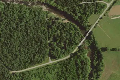
Riverside Campground
Dispersed · under 100 ft · Fredericktown
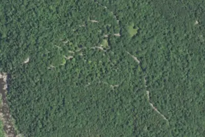
Prospect Camground
Dispersed · 0.4 mi · Fredericktown
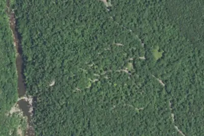
Summit Campground
Public Land · 0.5 mi · Fredericktown
3 more within 25 mi
5 OpenStreetMap entries in Fredericktown share one park. They may be individual sites of a single campground. Suggest a merge
Dispersed camping nearby
Free dispersed camping within 19 mi, on public land.
- under 100 ft
Riverside Campground
Fredericktown, MO · On U.S. Forest Service land · Mark Twain National Forest
- 0.4 mi
Prospect Camground
Fredericktown, MO · On U.S. Forest Service land · Mark Twain National Forest
- 0.7 mi
Spring Branch Overflow Campground
Fredericktown, MO · On U.S. Forest Service land · Mark Twain National Forest
Location and contact
Data from Overture Maps Foundation — Places, Recreation Information Database (RIDB) / Recreation.gov, Recreation.gov — campground rate cards, USDA Forest Service — Recreation Opportunities, USFS INFRA Recreation Sites
Something wrong here? Suggest an edit
Run this campground? Claim the listing