Lost Lake Group Unit
Oroville, Washington · 3,835 ft · In Colville National Forest
Photos: USFS
Wildfire 18 mi W: Sinlahekin, 166,007 acres, 99% contained
At a glance
5 of 8 facts known · recreation.gov, checked Oct 3, 2026
- Elevation
- 3,835 ft (1,169 m)3,835 ft1,169 m
Sites1
Lost Lake Group Unit lists no loops, so its sites are listed here. Pick a site to see its details.
All 1 shown · by site number
From recreation.gov's site list, Oct 10, 2026.
Amenities
From Recreation.gov, Recreation.gov — campground rate cards · Correct
- Campfires allowed
From Recreation.gov, Recreation.gov — campground rate cards
You could be the first camper hereYou could be the first camper on this page
Stayed here? Share what the next camper should know.
Free account · no email needed to browse
About
Overview
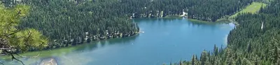
Lost Lake Group Site is located in Lost Lake Campground which is situated on the northern edge of Lost Lake on the Tonasket Ranger District of the Okanogan-Wenatchee National Forest.
Set beneath mixed-conifer forest and surrounded by mountains, this campground offers one group site, suitable for large family and group camping excursions as well as several non-reservable single and double sites.Recreation
From Recreation.gov and Recreation.gov — campground rate cards · · Edit
Cell service
Report signalFCC map: no coverage reported
- VerizonNo coverage on FCC map
- AT&TNo coverage on FCC map
- T-MobileNo coverage on FCC map
Cell service at Lost Lake Group Unit: FCC map Dec 2025
Weather
National Weather Service
- TueMostly Sunny, 1% chance of rain52°37°
- WedSlight Chance Light Rain then Mostly Sunny, 15% chance of rain58°38°
- ThuMostly Sunny60°39°
- FriMostly Sunny63°41°
- SatMostly Sunny, 4% chance of rain55°33°
Nearby camping
SeeSee all on the map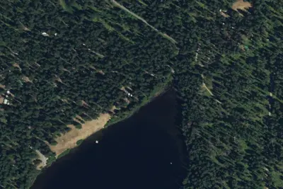
Lost Lake Campground
Public Land · under 100 ft · Oroville
Lost Lake Campground (WA)
Public Land · 0.1 mi · Oroville
Beth Lake Campground
Public Land · 3.1 mi · Oroville
3 more within 25 mi
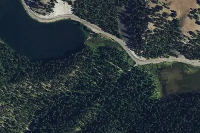
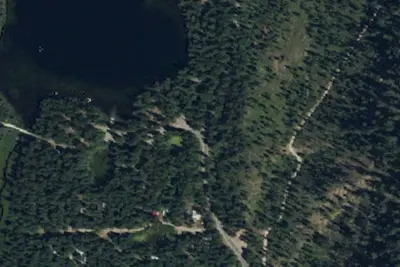
Dispersed camping nearby
Free dispersed camping within 19 mi, on public land.
Location and contact
Something wrong here? Suggest an edit
Run this campground? Claim the listing