Bonaparte Lake Campground
Oroville, Washington · 3,570 ft · In Colville National Forest
Photos: US Forest Service
Wildfire 17 mi W: Sinlahekin, 166,007 acres, 99% contained
At a glance
6 of 8 facts known · recreation.gov, checked Sep 24, 2026
- Elevation
- 3,570 ft (1,088 m)3,570 ft1,088 m
Loops2
Pick a loop to see its sites.
Other areas
From recreation.gov's site list, Oct 10, 2026. Loop names are trimmed and merged.
Amenities
From OpenStreetMap, Overture Maps Foundation — Places, Recreation.gov, Recreation.gov — campground rate cards, USDA Forest Service — Recreation Opportunities, USFS INFRA Recreation Sites · Correct
- ADA accessible
- Campfires allowed
From OpenStreetMap, Overture Maps Foundation — Places, Recreation.gov, Recreation.gov — campground rate cards, USDA Forest Service — Recreation Opportunities, USFS INFRA Recreation Sites
You could be the first camper hereYou could be the first camper on this page
Stayed here? Share what the next camper should know.
Free account · no email needed to browse
About
Overview
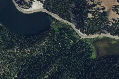
Bonaparte Lake Campground is located on the southern edge of Bonaparte Lake east of Tonasket, WA, in the Okanogan-Wenatchee National Forest. The setting of the campground is in a mixed ponderosa pine and Douglas fir conifer forest at the base of Bonaparte Mountain. This campground has a group site, multiple family and individual campsites available.Recreation
Fishing is a popular activity on the lake, with anglers enjoying boat fishing for rainbow, brook, and cutthroat trout as well as using the accessible fishing dock. A boat launch area is available in the campground. Kayaking, canoeing, and swimming can also be enjoyed. Hiking around the lake or up the Pipsissewa Trail, which is accessed from the southern loop, are popular activities. Taking a bike ride on the surrounding roads is also available. Facilities
From OpenStreetMap, Overture Maps Foundation — Places, Recreation.gov, Recreation.gov — campground rate cards, USDA Forest Service — Recreation Opportunities, and USFS INFRA Recreation Sites · · Edit
Cell service
Report signalFCC map: no coverage reported
- VerizonNo coverage on FCC map
- AT&TNo coverage on FCC map
- T-MobileNo coverage on FCC map
Cell service at Bonaparte Lake Campground: FCC map Dec 2025
Weather
National Weather Service
- TueSunny, 1% chance of rain54°39°
- WedMostly Sunny, 13% chance of rain60°39°
- ThuMostly Sunny61°41°
- FriMostly Sunny64°42°
- SatMostly Sunny, 4% chance of rain56°34°
Nearby camping
SeeSee all on the map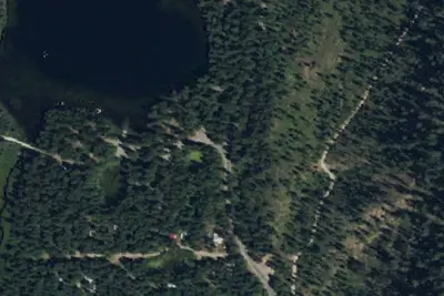
Bonaparte Lake Group Site
Public Land · under 100 ft · Oroville
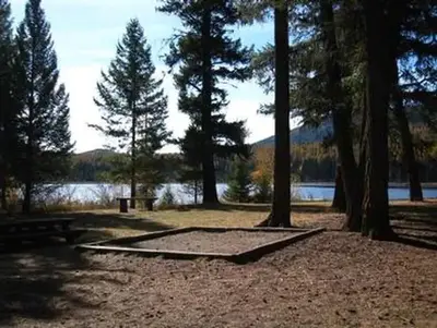
Lost Lake Group Unit
Public Land · 4.2 mi · Oroville
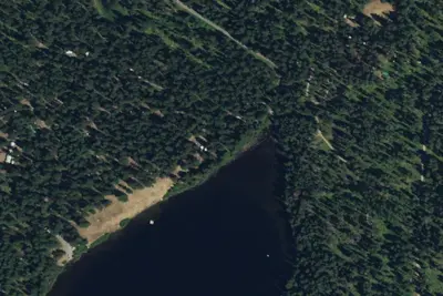
Lost Lake Campground
Public Land · 4.2 mi · Oroville
3 more within 25 mi
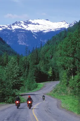
Dispersed camping nearby
Free dispersed camping within 19 mi, on public land.
Location and contact
Data from OpenStreetMap, Overture Maps Foundation — Places, Recreation Information Database (RIDB) / Recreation.gov, Recreation.gov — campground rate cards, USDA Forest Service — Recreation Opportunities, USFS INFRA Recreation Sites
Something wrong here? Suggest an edit
Run this campground? Claim the listing