Loleta Recreation
Marienville, Pennsylvania · 1,335 ft · In Allegheny National Forest
Photos: USFS
At a glance
7 of 8 facts known · recreation.gov, checked Sep 24, 2026
- Elevation
- 1,335 ft (407 m)1,335 ft407 m
Loops2
Pick a loop to see its sites.
Other areas
From recreation.gov's site list, Oct 10, 2026: 2 staff entries left out. Loop names are trimmed and merged.
How we name loops
“S&P” is a staff entry, not a campsite, and is left out.
Amenities
From OpenStreetMap, Recreation.gov, Recreation.gov — campground rate cards, USDA Forest Service — Recreation Opportunities, USFS INFRA Recreation Sites · Correct
- Caravan / RV sites
- Drinking water
- Showers
- Showers
- Tent sites
- Toilets
From OpenStreetMap, Recreation.gov, Recreation.gov — campground rate cards, USDA Forest Service — Recreation Opportunities, USFS INFRA Recreation Sites
You could be the first camper hereYou could be the first camper on this page
Stayed here? Share what the next camper should know.
Free account · no email needed to browse
About
Overview
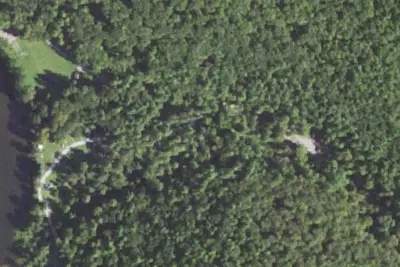
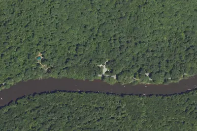
Loleta Recreation Campground sits along the east branch of Millstone Creek in the southwestern corner of the Allegheny National Forest, offering a peaceful getaway that is popular with families.
Recreation
Camping is available in both the primitive upper loop and the more developed lower loop. The Day Use area with picnic tables and grills centers around a Civilian Conservation Corps dam across Millstone Creek, which creates a small swimming/wading area. Fishing the stream is permitted with a legal PA fishing license, but the swimming area is off-limits between Memorial Day and Labor Day. There is a 3-mile hiking trail that starts and ends at the campground, passing a rock outcrop on the edge of the Millstone Valley at its furthest point from the campground.Facilities
From OpenStreetMap, Recreation.gov, Recreation.gov — campground rate cards, USDA Forest Service — Recreation Opportunities, and USFS INFRA Recreation Sites · · Edit
Cell service
Report signalFCC map: no coverage reported
- VerizonNo coverage on FCC map
- AT&TNo coverage on FCC map
- T-MobileNo coverage on FCC map
Cell service at Loleta Recreation: FCC map Dec 2025
Weather
National Weather Service
- WedChance Rain Showers, 51% chance of rain71°47°
- ThuPartly Sunny then Slight Chance Rain Showers, 15% chance of rain68°57°
- FriRain Showers, 99% chance of rain65°32°
- SatSlight Chance Rain And Snow Showers then Mostly Sunny, 24% chance of rain48°29°
- SunWidespread Frost then Sunny58°35°
Nearby camping
SeeSee all on the map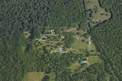
Forest Ridge Cabins and Campgrounds
Campground · 3.1 mi · Marienville
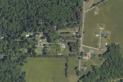
Loleta Bear Claw Campground
Campground · 3.5 mi · Marienville
Cabins
Campground · 4.7 mi · Vowinckel
3 more within 25 mi
Dispersed camping nearby
Free dispersed camping within 19 mi, on public land.
- 7.5 mi
Cicely Campsite
Vowinckel, PA · On U.S. Forest Service land · Allegheny National Forest
- 8.6 mi
Little Salmon Creek Campsite
Marienville, PA · On U.S. Forest Service land · Allegheny National Forest
- 11 mi
Four Mile Run Campsite
Marienville, PA · On U.S. Forest Service land · Allegheny National Forest
- 15 mi
East Fork Campsite
Marienville, PA · On U.S. Forest Service land · Allegheny National Forest
- 16 mi
Spring Campsite
Tidioute, PA · On U.S. Forest Service land · Allegheny National Forest
- 16 mi
Spring Road Campsite
Tidioute, PA · On U.S. Forest Service land · Allegheny National Forest
Location and contact
Data from OpenStreetMap, Recreation Information Database (RIDB) / Recreation.gov, Recreation.gov — campground rate cards, USDA Forest Service — Recreation Opportunities, USFS INFRA Recreation Sites
Something wrong here? Suggest an edit
Run this campground? Claim the listing