Kettle Falls Campground
Barney's Junction, Washington · 1,312 ft · In Lake Roosevelt National Recreation Area
Photos: Kirby Vargas
At a glance
6 of 8 facts known · recreation.gov, checked Oct 3, 2026
- Elevation
- 1,312 ft (400 m)1,312 ft400 m
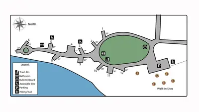
Loops3
Pick a loop to see its sites.
From recreation.gov's site list, Oct 10, 2026. Loop names are trimmed and merged.
Amenities
From National Park Service — campgrounds, OpenStreetMap, Overture Maps Foundation — Places, Recreation.gov, Recreation.gov — campground rate cards · Correct
- ADA accessible
- Boat launch
- Campfires allowed
- Dump station
- Fishing
- Toilets
From National Park Service — campgrounds, OpenStreetMap, Overture Maps Foundation — Places, Recreation.gov, Recreation.gov — campground rate cards
You could be the first camper hereYou could be the first camper on this page
Stayed here? Share what the next camper should know.
Free account · no email needed to browse
About
Overview
Kettle Falls Campground is on the northern section of Lake Roosevelt and convenient to the town of Kettle Falls. The facility has a multi-lane boat launch, making it popular among boaters, fishermen and water sports enthusiasts. The Kettle Falls area is rich in the history of American Indians as well as the fur trade; campers can learn more at a park visitor center less than 10 miles away.
Lake Roosevelt is a 130-mile lake on the Columbia River created by the Grand Coulee Dam. Named after President Franklin D. Roosevelt, it is part of the Lake Roosevelt National Recreation Area and managed by the National Park Service.Recreation
From National Park Service — campgrounds, OpenStreetMap, Overture Maps Foundation — Places, Recreation.gov, and Recreation.gov — campground rate cards · · Edit
Cell service
Report signal- Verizon4G LTE
- AT&T5G · 4G LTE
- T-Mobile5G · 4G LTE
Cell service at Kettle Falls Campground: FCC map Dec 2025
Weather
National Weather Service
- WedMostly Sunny, 5% chance of rain63°42°
- ThuMostly Sunny64°43°
- FriMostly Sunny67°45°
- SatMostly Sunny, 2% chance of rain63°38°
- SunMostly Sunny, 3% chance of rain58°42°
Nearby camping
SeeSee all on the map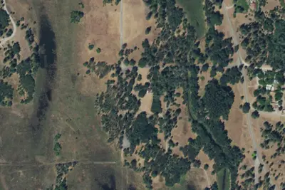
Locust Grove Group Sites
National Park · 0.6 mi · Barney's Junction
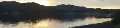
Kettle Falls Locust Grove Group Site
National Park · 0.7 mi · Barney's Junction
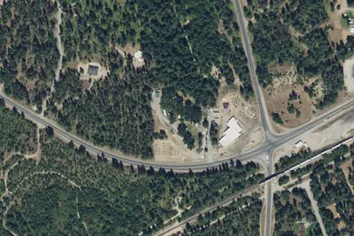
Grandview Inn RV Park
RV Park · 2.0 mi · Kettle Falls
3 more within 25 mi
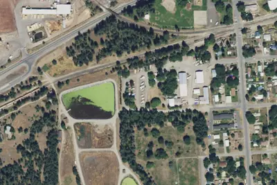
Dispersed camping nearby
Free dispersed camping within 19 mi, on public land.
Location and contact
Data from National Park Service — campgrounds (NPS Data API), OpenStreetMap, Overture Maps Foundation — Places, Recreation Information Database (RIDB) / Recreation.gov, Recreation.gov — campground rate cards
Something wrong here? Suggest an edit
Run this campground? Claim the listing