Kelsay Valley Campground / Trailhead
Crescent Lake, Oregon · 4,259 ft
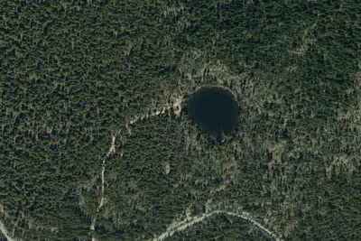
Aerial view · USGS / USDA NAIP · Public domain · source
At a glance
2 of 8 facts known · Forest Service data, checked Oct 3, 2026
- Elevation
- 4,259 ft (1,298 m)4,259 ft1,298 m
Amenities
You could be the first camper hereYou could be the first camper on this page
Stayed here? Share what the next camper should know.
Free account · no email needed to browse
About
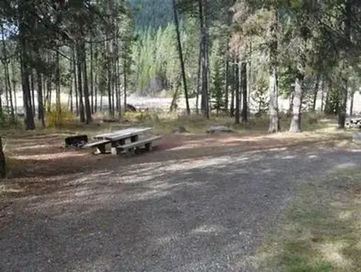
This campground and trailhead is located along the Wild and Scenic North Umpqua River where it rushes through a lush high Cascade meadow. Spring arrives late in the high country and it is welcomed here with an explosion of colors. Purples, reds, yellows, greens, and white are arranged in a riotous bouquet. This site is designed to accommodate pack and saddle use as well as standard camping.This site provides access to Porcupine Connect Trail 1412A, which connects to the North Umpqua Trail 1414 and Windigo Pass Trail 1412.The North Umpqua Trail heads southeast to enter Mount Thielsen Wilderness where it connects with the Tolo Creek Trail #1466, Lucile Lake Trail #1459, Maidu Lake Loop Trail, and the Pacific Crest National Scenic Trail #2000.Facilities5 campsites with picnic tables and fire pits10 campsites with picnic table, fire pit, and horse corralCamp host on siteVault toiletNo drinking waterLimited garbage disposal - Please pack it out
From OpenStreetMap, USDA Forest Service — Recreation Opportunities, and USFS INFRA Recreation Sites · Edit
Cell service
Report signal- Verizon4G LTE
- AT&T4G LTE
- T-Mobile5G · 4G LTE
Cell service at Kelsay Valley Campground / Trailhead: FCC map Dec 2025
Weather
National Weather Service
- WedSunny, 3% chance of rain69°39°
- ThuSunny69°38°
- FriSunny75°36°
- SatMostly Sunny, 3% chance of rain65°32°
- SunMostly Sunny, 3% chance of rain64°32°
Nearby camping
SeeSee all on the map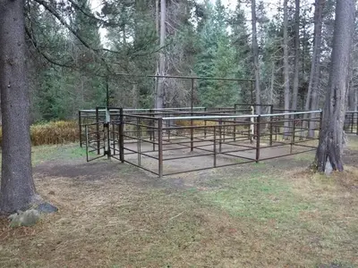
Kelsay Valley Horse Camp
Public Land · 0.8 mi · Crescent Lake
Kelsay Valley Trailhead Campground
Campground · 0.9 mi · Crescent Lake
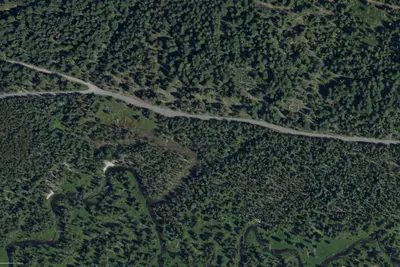
Crystal Springs
Dispersed · 1.4 mi · North Umpqua
3 more within 25 mi
4 OpenStreetMap entries in Crescent Lake share one park. They may be individual sites of a single campground. Suggest a merge
Dispersed camping nearby
Free dispersed camping within 19 mi, on public land.
- 1.4 mi
Crystal Springs
North Umpqua, OR
- 2.7 mi
Linda Lake
Crescent Lake, OR
- 7.4 mi
Clearwater Falls Campground
North Umpqua, OR · On U.S. Forest Service land · Umpqua National Forest
- 11 mi
Clearwater #1 Forebay Forest Camp
North Umpqua, OR
- 14 mi
Watson Creek Forest Camp
North Umpqua, OR
- 15 mi
Camp site
Crescent Lake, OR · On U.S. Forest Service land · Deschutes National Forest
Location and contact
Data from OpenStreetMap, USDA Forest Service — Recreation Opportunities, USFS INFRA Recreation Sites
Something wrong here? Suggest an edit
Run this campground? Claim the listing