Inlet Campground
North Umpqua, Oregon · 4,160 ft · In Umpqua National Forest
Photos: USFS
At a glance
4 of 8 facts known · recreation.gov, checked Sep 24, 2026
- Elevation
- 4,160 ft (1,268 m)4,160 ft1,268 m
Sites13
Inlet Campground lists no loops, so its sites are listed here. Pick a site to see its details.
- 001Standard · up to 8 people25 ft
- 002Standard · up to 8 people25 ft
- 003Standard · up to 8 people25 ft
- 004Standard · up to 8 people25 ft
- 005Standard · up to 8 people25 ft
- 006Standard · up to 8 people25 ft
- 007Standard · up to 8 people25 ft
- 008Standard · up to 8 people25 ft
- 009Standard · up to 8 people25 ft
- 010Standard · up to 8 people25 ft
Showing 10 of 13 · by site number
From recreation.gov's site list, Oct 10, 2026.
Amenities
From OpenStreetMap, Recreation.gov, Recreation.gov — campground rate cards, USDA Forest Service — Recreation Opportunities, USFS INFRA Recreation Sites · Correct
- Campfires allowed
From OpenStreetMap, Recreation.gov, Recreation.gov — campground rate cards, USDA Forest Service — Recreation Opportunities, USFS INFRA Recreation Sites
You could be the first camper hereYou could be the first camper on this page
Stayed here? Share what the next camper should know.
Free account · no email needed to browse
About
Overview
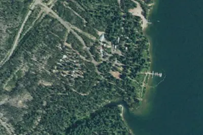
Inlet Campground is nestled along the North Umpqua River where the forest of lodgepole pine, mountain hemlock and Shasta red fir meet Lemolo Lake, the highest reservoir on the North Umpqua River at an elevation of 4,150 feet.Recreation
Boating, fishing, swimming, kayaking, canoeing and water skiing top the list of recreational activities near the campground. Lemolo Lake provides outdoor enthusiasts with a multitude of recreational opportunities year round. The forested shoreline and mountainous backdrop provide a perfect setting for both swimmers braving the lake's cold, refreshing waters, and for anglers casting lines from boat or beach. Populations of German brown trout, Eastern brook trout, rainbow trout and kokanee salmon thrive in the lake which reaches depths of up to 100 feet in places. For waterfall seekers, nearby Lemolo Falls Trail is a steep traverse that drops down into North Umpqua Canyon for a view of Lemolo Falls as it cascades 150 feet to the canyon bottom. A spur trail accesses the bottom of the canyon below the falls.Facilities
From OpenStreetMap, Recreation.gov, Recreation.gov — campground rate cards, USDA Forest Service — Recreation Opportunities, and USFS INFRA Recreation Sites · · Edit
Cell service
Report signal- Verizon4G LTE
- AT&T5G · 4G LTE
- T-Mobile5G · 4G LTE
Cell service at Inlet Campground: FCC map Dec 2025
Weather
National Weather Service
- WedSunny, 3% chance of rain69°38°
- ThuSunny70°36°
- FriSunny75°35°
- SatMostly Sunny, 3% chance of rain65°32°
- SunMostly Sunny, 3% chance of rain64°32°
Nearby camping
SeeSee all on the map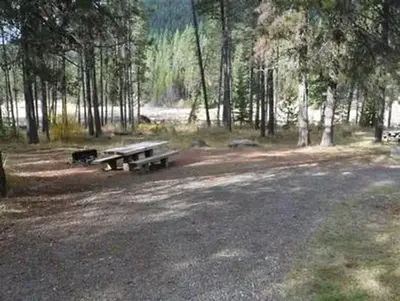
East Lemolo Campground
Public Land · 0.4 mi · North Umpqua
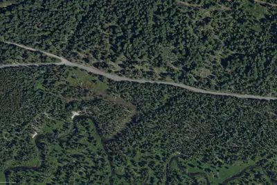
Crystal Springs
Dispersed · 0.8 mi · North Umpqua
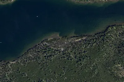
Camp site
Campground · 0.8 mi · North Umpqua
3 more within 25 mi
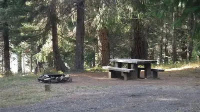
4 OpenStreetMap entries in North Umpqua share one park. They may be individual sites of a single campground. Suggest a merge
Dispersed camping nearby
Free dispersed camping within 19 mi, on public land.
- 0.8 mi
Crystal Springs
North Umpqua, OR
- 3.3 mi
Linda Lake
Crescent Lake, OR
- 5.8 mi
Clearwater Falls Campground
North Umpqua, OR · On U.S. Forest Service land · Umpqua National Forest
- 9.0 mi
Clearwater #1 Forebay Forest Camp
North Umpqua, OR
- 12 mi
Watson Creek Forest Camp
North Umpqua, OR
- 15 mi
Cedar Springs
North Umpqua, OR
Location and contact
Data from OpenStreetMap, Recreation Information Database (RIDB) / Recreation.gov, Recreation.gov — campground rate cards, USDA Forest Service — Recreation Opportunities, USFS INFRA Recreation Sites
Something wrong here? Suggest an edit
Run this campground? Claim the listing