Govt Mineral Springs Guard Sta
Carson, Washington · 1,217 ft · In Gifford Pinchot National Forest
Photos: USFS
Wildfire 3.9 mi W: High Lava, 2,899 acres, 95% contained
At a glance
3 of 8 facts known · recreation.gov, checked Sep 24, 2026
- Elevation
- 1,217 ft (371 m)1,217 ft371 m
Sites1
Govt Mineral Springs Guard Sta lists no loops, so its sites are listed here. Pick a site to see its details.
All 1 shown · by site number
From recreation.gov's site list, Oct 10, 2026.
Amenities
From Recreation.gov, Recreation.gov — campground rate cards · Correct
- ADA accessible
- Firewood for sale
- Toilets
From Recreation.gov, Recreation.gov — campground rate cards
You could be the first camper hereYou could be the first camper on this page
Stayed here? Share what the next camper should know.
Free account · no email needed to browse
About
Overview
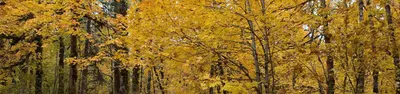
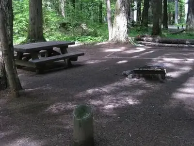
Nestled in a grove of towering old-growth conifer trees, the Government Mineral Springs Guard Station is a delightful setting for guests seeking relaxation and recreation in the Gifford Pinchot National Forest.
The Government Mineral Springs area has been a draw to recreation enthusiasts since the early 1900's. In 1910, S.D. Fox and the Star Brewing Company of Portland began construction of a hotel near Trapper Creek, which eventually became known as Government Mineral Springs. The popular resort boasted bath houses, Iron Mike Bubbling Springs, a dance pavilion, store, ice cream parlor, goldfish ponds and flower gardens. Early advertisements for the resort claimed the mineral water spas were capable of curing physical ailments. In 1935, the hotel burned to the ground.
From Recreation.gov and Recreation.gov — campground rate cards · · Edit
Cell service
Report signalFCC map: no coverage reported
- VerizonNo coverage on FCC map
- AT&TNo coverage on FCC map
- T-MobileNo coverage on FCC map
Cell service at Govt Mineral Springs Guard Sta: FCC map Dec 2025
Weather
National Weather Service
- WedSunny, 7% chance of rain72°50°
- ThuSunny73°51°
- FriSunny76°50°
- SatChance Light Rain then Partly Sunny, 50% chance of rain61°39°
- SunMostly Sunny, 5% chance of rain62°42°
Nearby camping
SeeSee all on the mapRecreation Rental: Gov. Mineral Springs Cabin
Other · under 100 ft · Carson
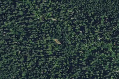
Campground: Government Mineral Springs
Public Land · 0.3 mi · Carson
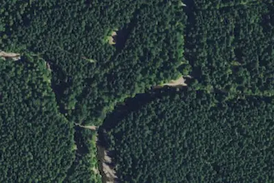
Camp Howe
Public Land · 0.7 mi · Carson
3 more within 25 mi
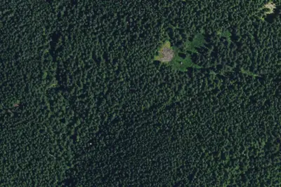
3 OpenStreetMap entries in Carson share one park. They may be individual sites of a single campground. Suggest a merge
Dispersed camping nearby
Free dispersed camping within 19 mi, on public land.
- 6.6 mi
Mowich Camp
Stevenson, WA · On U.S. Forest Service land · Gifford Pinchot National Forest
- 6.7 mi
Spring Camp
Stevenson, WA · On U.S. Forest Service land · Gifford Pinchot National Forest
- 7.2 mi
Lookout Mountain Camp
Stevenson, WA · On U.S. Forest Service land · Gifford Pinchot National Forest
- 8.1 mi
Dispersed Camping
Cougar, WA · On U.S. Forest Service land · Gifford Pinchot National Forest
- 8.3 mi
Fourth of July Camp
North Bonneville, WA · On U.S. Forest Service land · Gifford Pinchot National Forest
- 8.7 mi
Dispersed Camping
Cougar, WA · On U.S. Forest Service land · Gifford Pinchot National Forest
Location and contact
Data from Recreation Information Database (RIDB) / Recreation.gov, Recreation.gov — campground rate cards
Something wrong here? Suggest an edit
Run this campground? Claim the listing