Campground: Government Mineral Springs
Carson, Washington · 1,234 ft
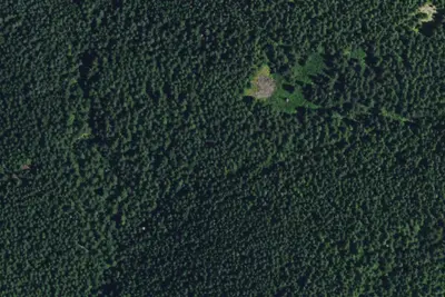
Aerial view · USGS / USDA NAIP · Public domain · source
Photos taken nearby
From Wikimedia Commons, taken close to this campground — not necessarily pictures of it.
Wildfire 3.6 mi W: High Lava, 2,899 acres, 95% contained
At a glance
3 of 8 facts known · Forest Service data, checked Oct 3, 2026
- Elevation
- 1,234 ft (376 m)1,234 ft376 m
Amenities
You could be the first camper hereYou could be the first camper on this page
Stayed here? Share what the next camper should know.
Free account · no email needed to browse
About
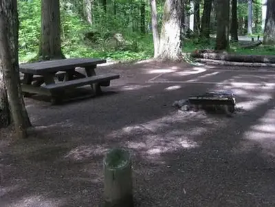
This is a historic site in an attractive old-growth forest setting. The campground was developed by the Civilian Conservation Corps in 1937. Camp sites for tent camping are located under trees around the edge of the foundation of the old resort hotel that was built in 1910 and burned in 1935, in an unusual configuration for a campground. Due to water quality issues, the Iron Mike Bubbling Spring is closed, but it once provided mineral water thought to have medicinal properties. The campground is located near Trapper Creek Wilderness, and nearby trails provide access to this Wilderness. A wilderness permit is required when entering Trapper Creek Wilderness. Wilderness permits are free and self-issued at the trailhead.
Fees: Overnight Use:
From OpenStreetMap, USDA Forest Service — Recreation Opportunities, and USFS INFRA Recreation Sites · · Edit
Cell service
Report signalFCC map: no coverage reported
- VerizonNo coverage on FCC map
- AT&TNo coverage on FCC map
- T-MobileNo coverage on FCC map
Cell service at Campground: Government Mineral Springs: FCC map Dec 2025
Weather
National Weather Service
- WedSunny, 7% chance of rain72°50°
- ThuSunny73°51°
- FriSunny76°50°
- SatChance Light Rain then Partly Sunny, 50% chance of rain61°39°
- SunMostly Sunny, 5% chance of rain62°42°
Nearby camping
SeeSee all on the mapRecreation Rental: Gov. Mineral Springs Cabin
Other · 0.3 mi · Carson
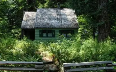
Govt Mineral Springs Guard Sta
Public Land · 0.3 mi · Carson
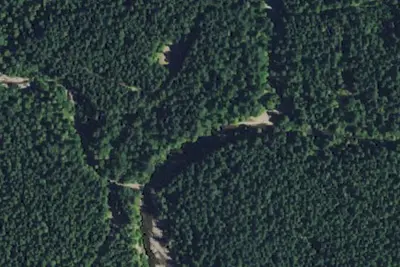
Camp Howe
Public Land · 0.9 mi · Carson
3 more within 25 mi
Dispersed camping nearby
Free dispersed camping within 19 mi, on public land.
- 6.6 mi
Mowich Camp
Stevenson, WA · On U.S. Forest Service land · Gifford Pinchot National Forest
- 6.7 mi
Spring Camp
Stevenson, WA · On U.S. Forest Service land · Gifford Pinchot National Forest
- 7.2 mi
Lookout Mountain Camp
Stevenson, WA · On U.S. Forest Service land · Gifford Pinchot National Forest
- 7.9 mi
Dispersed Camping
Cougar, WA · On U.S. Forest Service land · Gifford Pinchot National Forest
- 8.2 mi
Fourth of July Camp
North Bonneville, WA · On U.S. Forest Service land · Gifford Pinchot National Forest
- 8.4 mi
Dispersed Camping
Cougar, WA · On U.S. Forest Service land · Gifford Pinchot National Forest
Location and contact
Data from OpenStreetMap, USDA Forest Service — Recreation Opportunities, USFS INFRA Recreation Sites
Something wrong here? Suggest an edit
Run this campground? Claim the listing