Deep Hole Recreation Area
Morganton, Georgia · 1,988 ft · In Chattahoochee-Oconee National Forest
Photos: USFS
At a glance
4 of 8 facts known · recreation.gov, checked Sep 24, 2026
- Elevation
- 1,988 ft (606 m)1,988 ft606 m
Sites9
Deep Hole Recreation Area lists no loops, so its sites are listed here. Pick a site to see its details.
From recreation.gov's site list, Oct 10, 2026.
Amenities
From OpenStreetMap, Recreation.gov, Recreation.gov — campground rate cards, USDA Forest Service — Recreation Opportunities, USFS INFRA Recreation Sites · Correct
- Tent sites
- Toilets
- Hours (24/7)
From OpenStreetMap, Recreation.gov, Recreation.gov — campground rate cards, USDA Forest Service — Recreation Opportunities, USFS INFRA Recreation Sites
You could be the first camper hereYou could be the first camper on this page
Stayed here? Share what the next camper should know.
Free account · no email needed to browse
About
Overview
Deep Hole Recreation Area is a U.S. Forest Service Campground and Day Use Area located approximately 2 hours north of Atlanta in the North Georgia Mountains of the Chattahoochee National Forest. Deep Hole offers visitors year-round recreation opportunities such as camping, fishing, picnicking, and a launch area for tubing and kayaking along the Toccoa River. Trout fishing is popular here in North Georgia so camping at Deep Hole adjacent to the Toccoa River is an amazing opportunity for avid fisherman. Nine campsites are neatly arranged in one loop and walking distance to the Toccoa River. Campsites 5 & 9 are directly next to the River. The climate here is fairly mild and generally offers all four seasons, so it's a wonderful place to relax and experience each of these throughout the year. North Georgia is a playground for wildlife watchers. We have an abundance of Deer, Turkey, Bear, and small Furbearers. There is a $5.00 Day Use Fee for those that only are not staying overnight, and are looking to fish, kayak, picnic, or tube down the Toccoa River. If you are camping, you are excluded from this fee. If you need to get away from the hustle and bustle of everyday life, please visit Deep Hole Recreation Area.
Recreation
This campground is located along the banks of a big turn of the Toccoa River just north of Suches, GA. The primary attraction to this area is the Toccoa River, with immediate access for fishing and boating. The Chattahoochee National Fish Hatchery is only 5.5 miles away and they stock this area with trout weekly during peak camping season. Cooper Creek and Rock Creek are within ten minutes of Deep Hole Recreation Area, which offers visitors more areas to trout fish and more camping opportunities in beautiful North Georgia. Deep Hole is the beginning of the Toccoa River Canoe Trail, offering 13.8 miles of moderate paddling to the take-out at Sandy-Bottoms Recreation Area.
From OpenStreetMap, Recreation.gov, Recreation.gov — campground rate cards, USDA Forest Service — Recreation Opportunities, and USFS INFRA Recreation Sites · · Edit
Cell service
Report signalFCC map: no coverage reported
- VerizonNo coverage on FCC map
- AT&TNo coverage on FCC map
- T-MobileNo coverage on FCC map
Cell service at Deep Hole Recreation Area: FCC map Dec 2025
Weather
National Weather Service
- WedSunny83°58°
- ThuSunny83°57°
- FriSunny, 1% chance of rain77°38°
- SatSunny63°37°
- SunSunny61°40°
Nearby camping
SeeSee all on the map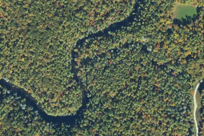
Hawk Mountain (Base) Campsite
Campground · 1.1 mi · Morganton
Rock Creek Dispersed Area
Public Land · 1.3 mi · Morganton
Camp site
Dispersed · 2.6 mi · Dahlonega
3 more within 25 mi
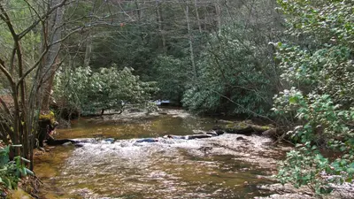
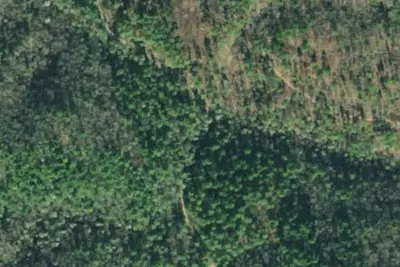
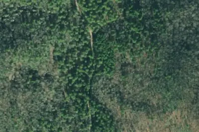
Dispersed camping nearby
Free dispersed camping within 19 mi, on public land.
- 2.6 mi
Camp site
Dahlonega, GA · On State agency land · Blue Ridge Wildlife Management Area
- 5.0 mi
Noontootla Dispersed Area
Cherry Log, GA · On State agency land · Blue Ridge Wildlife Management Area
- 5.1 mi
A.T. Hawk Mountain Shelter
Dahlonega, GA · On State agency land · Blue Ridge Wildlife Management Area
- 6.8 mi
Camp site (United States Forest Service)
Blairsville, GA · On State agency land · Coopers Creek Wildlife Management Area
- 7.0 mi
A.T. Stover Creek Shelter
Dahlonega, GA · On State agency land · Blue Ridge Wildlife Management Area
- 7.6 mi
Montgomery Creek Dispersed Area
Dahlonega, GA
Location and contact
Data from OpenStreetMap, Recreation Information Database (RIDB) / Recreation.gov, Recreation.gov — campground rate cards, USDA Forest Service — Recreation Opportunities, USFS INFRA Recreation Sites
Something wrong here? Suggest an edit
Run this campground? Claim the listing