Buckeye Recreation Area
La Sal, Colorado · 7,621 ft
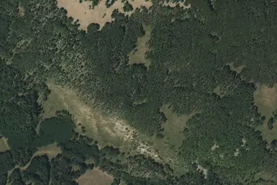
Aerial view · USGS / USDA NAIP · Public domain · source
At a glance
3 of 8 facts known · Forest Service data, checked Oct 3, 2026
- Elevation
- 7,621 ft (2,323 m)7,621 ft2,323 m
- Land
- Manti-La Sal National Forest
U.S. Forest Service
Amenities
You could be the first camper hereYou could be the first camper on this page
Stayed here? Share what the next camper should know.
Free account · no email needed to browse
About
Buckeye Recreation Area sits at an elevation of 7600 ft on the west side of the La Sal Mountains surrounded by ponderosa pine trees. It is most easily accessible from the town of Paradox, CO and is a popular fishing and camping location in the mountains. The Buckeye Recreation Area is located adjacent to Buckeye Reservoir. The recreation area is spread out around the reservoir and consists of the Pioneer Campground (30 single family reservable campsites and one reservable group site), a boat ramp for small fishing boats (5 HP motor limit and wakeless speed, a day-use picnic area, and 18 less developed dispersed campsites scattered around the reservoir. Campsites in the Pioneer Campground include graveled parking spurs, concrete picnic tables, fire rings, a utility table, and access to a vault toilet. Please call the Moab Ranger District at(435) 259-7155if you need additional information.
Fees: Overnight Use:
From OpenStreetMap, USDA Forest Service — Recreation Opportunities, and USFS INFRA Recreation Sites · · Edit
Cell service
Report signalFCC map: no coverage reported
- VerizonNo coverage on FCC map
- AT&TNo coverage on FCC map
- T-MobileNo coverage on FCC map
Cell service at Buckeye Recreation Area: FCC map Sep 2026
Weather
National Weather Service
- WedSlight Chance T-storms, 90% chance of rain42°33°
- ThuSunny, 4% chance of rain51°34°
- FriSunny54°35°
- SatMostly Sunny55°38°
- SunMostly Sunny, 4% chance of rain54°38°
Nearby camping
SeeSee all on the map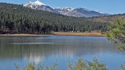
Buckeye Recreation Area (Co)
Public Land · 0.4 mi · La Sal
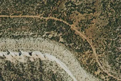
Camp site
Dispersed · 6.8 mi · La Sal
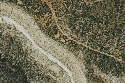
Camp site
Dispersed · 7.0 mi · La Sal
3 more within 25 mi
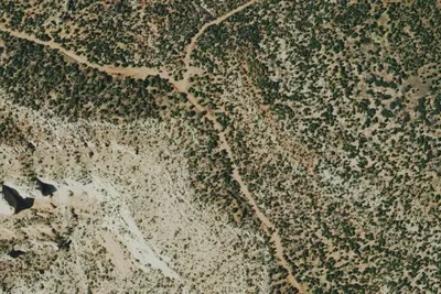
Dispersed camping nearby
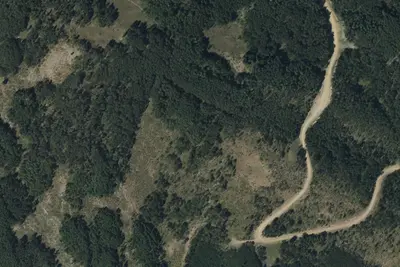
Free dispersed camping within 19 mi, on public land.
- 6.8 mi
Camp site
La Sal, CO · On Bureau of Land Management land · Uncompahgre Field Office
- 7.0 mi
Camp site
La Sal, CO · On Bureau of Land Management land · Uncompahgre Field Office
- 7.4 mi
Camp site
La Sal, CO · On Bureau of Land Management land · Uncompahgre Field Office
- 9.1 mi
Camp site
Glade Park-Gateway, CO · On Bureau of Land Management land · Grand Junction Field Office
- 9.2 mi
Camp site
Nucla, CO · On Bureau of Land Management land · Grand Junction Field Office
- 9.2 mi
Camp site
Nucla, CO · On Bureau of Land Management land · Uncompahgre Field Office
Location and contact
Data from OpenStreetMap, USDA Forest Service — Recreation Opportunities, USFS INFRA Recreation Sites
Something wrong here? Suggest an edit
Run this campground? Claim the listing