Upper Onion Creek Campground
La Sal, Utah · 10,115 ft
Aerial view · USGS / USDA NAIP · Public domain · source
At a glance
2 of 8 facts known · recreation.gov, checked Oct 3, 2026
- Elevation
- 10,115 ft (3,083 m)10,115 ft3,083 m
Amenities
You could be the first camper hereYou could be the first camper on this page
Stayed here? Share what the next camper should know.
Free account · no email needed to browse
About
Upper Onion Creek Campground offers striking views of the Colorado River canyon and the surrounding red rock cliffs, mesas and spires, with the La Sal Mountains as a dramatic back-drop. Individual sites are available on a first-come, first-serve basis. Two group sites, Upper Onion Creek Group Sites A and B, are available for reservation through Recreation.gov. Well-situated 0.7 miles off SR 128, there is direct access to the Onion Creek four-wheel drive road (watch for seasonal rains and flash floods). The town of Moab is approximately 40 minutes away and has dining, shopping, sports rentals, tour companies and museums.
Fees: $20/night
From BLM National Recreation Sites & Facilities and Recreation.gov · · Edit
Good to know
- Stay limit: 14 nights in a 30 consecutive day period
Cell service
Report signalFCC map: no coverage reported
- VerizonNo coverage on FCC map
- AT&TNo coverage on FCC map
- T-MobileNo coverage on FCC map
Cell service at Upper Onion Creek Campground: FCC map Dec 2025
Weather
National Weather Service
- WedSnow Showers, 93% chance of rain24°21°
- ThuMostly Sunny, 6% chance of rain32°23°
- FriSunny, 1% chance of rain37°26°
- SatMostly Sunny, 4% chance of rain36°27°
- SunMostly Sunny then Slight Chance Snow Showers, 15% chance of rain37°27°
Nearby camping
SeeSee all on the map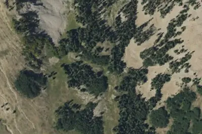
Mount Peale Free Camping
Dispersed · 2.0 mi · La Sal
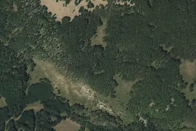
Dewey Bridge Campground
Public Land · 3.8 mi · La Sal
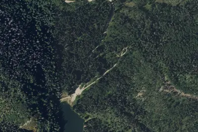
Oowah Campground
Public Land · 5.9 mi · Spanish Valley
3 more within 25 mi
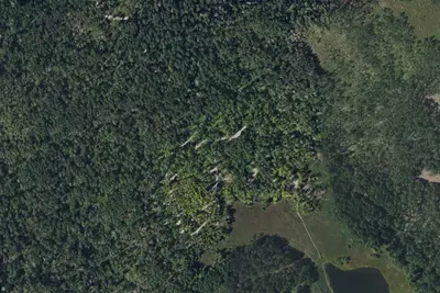
Dispersed camping nearby
Free dispersed camping within 19 mi, on public land.
- 2.0 mi
Mount Peale Free Camping
La Sal, UT · On U.S. Forest Service land · Manti-La Sal National Forest
- 12 mi
Camp site
Spanish Valley, UT · On Bureau of Land Management land · Moab Field Office
- 12 mi
Camp site
La Sal, UT · On Bureau of Land Management land · Moab Field Office
- 12 mi
Camp site
Castle Valley, UT · On U.S. Forest Service land · Manti-La Sal National Forest
- 12 mi
Camp site
La Sal, UT · On Bureau of Land Management land · Moab Field Office
- 12 mi
Camp site
La Sal, UT · On Bureau of Land Management land · Moab Field Office
Location and contact
Data from BLM National Recreation Sites & Facilities, Recreation Information Database (RIDB) / Recreation.gov
Something wrong here? Suggest an edit
Run this campground? Claim the listing