Buckaloons
Starbrick, Pennsylvania · 1,165 ft · In Allegheny National Forest
Photos: USFS
At a glance
7 of 8 facts known · recreation.gov, checked Sep 24, 2026
- Elevation
- 1,165 ft (355 m)1,165 ft355 m
Loops3
Pick a loop to see its sites.
- BUCK20 sites20 standard · up to 45 ft
- ELDB37 sites37 standard · up to 45 ft
- MANAGEMENT SITES31 sites31 standard
Other areas
From recreation.gov's site list, Oct 10, 2026: 11 staff entries left out. Loop names are trimmed and merged.
How we name loops
“S&P” is a staff entry, not a campsite, and is left out.
Amenities
From OpenStreetMap, Overture Maps Foundation — Places, Recreation.gov, Recreation.gov — campground rate cards, USDA Forest Service — Recreation Opportunities, USFS INFRA Recreation Sites · Correct
- Caravan / RV sites
- Drinking water
- Dump station
- Showers
- Showers
- Tent sites
- Toilets
From OpenStreetMap, Overture Maps Foundation — Places, Recreation.gov, Recreation.gov — campground rate cards, USDA Forest Service — Recreation Opportunities, USFS INFRA Recreation Sites
You could be the first camper hereYou could be the first camper on this page
Stayed here? Share what the next camper should know.
Free account · no email needed to browse
About
Overview
Buckaloons Campground sits at the confluence of the Allegheny River, Brokenstraw Creek and Irvine Run in northwestern Pennsylvania. This 61-site campground offers access to the Allegheny Wild & Scenic River and opportunities for boating, fishing, wildlife watching, and relaxing in a quiet, country atmosphere.
Recreation
Water activities are a big draw to Buckaloons Recreation Area, including canoing, kayaying, rafting, and boating. The boat ramp provides easy access to the river. Buckaloons is the beginning of the second designated National Wild and Scenic RIver segment of the Allegheny River. The first segment is from Kinzua Dam to the Route 6 Glade Bridge on the east side of Warren, PA. The second segment runs from Buckaloons campground to Alcorn Island just upstream of Oil City, PA, a distance of nearly 50 miles. In this segment are the 6 islands of the Allegheny Islands Wilderness as well as many other publicly and privately owned islands. Several public boat launches are located within this segment to help you decide on the length of trip that's right for you. The Allegheny is a "family-friendly" river, with little to no whitewater - perfect for beginners or a lazy day of floating.
From OpenStreetMap, Overture Maps Foundation — Places, Recreation.gov, Recreation.gov — campground rate cards, USDA Forest Service — Recreation Opportunities, and USFS INFRA Recreation Sites · · Edit
Cell service
Report signal- Verizon5G · 4G LTE
- AT&T5G · 4G LTE
- T-Mobile5G · 4G LTE
Cell service at Buckaloons: FCC map Dec 2025
Weather
National Weather Service
- WedChance Rain Showers then Mostly Cloudy, 42% chance of rain71°45°
- ThuPartly Sunny, 12% chance of rain69°56°
- FriRain Showers, 99% chance of rain65°32°
- SatChance Rain And Snow Showers then Mostly Sunny, 34% chance of rain48°30°
- SunWidespread Frost then Sunny60°36°
Nearby camping
SeeSee all on the mapWalmart · Warren
Overnight Parking · 6.2 mi · North Warren
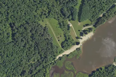
Camp site
Campground · 7.3 mi · Clarendon
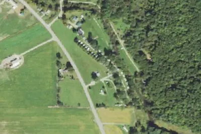
Brokenstraw Valley Campsites
Campground · 9.1 mi · Youngsville
3 more within 25 mi
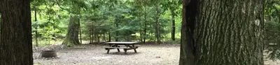
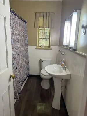
Dispersed camping nearby
Free dispersed camping within 19 mi, on public land.
- 14 mi
Triple Forks West Campsites
Sheffield, PA · On U.S. Forest Service land · Allegheny National Forest
- 14 mi
Triple Forks East Campsites
Sheffield, PA · On U.S. Forest Service land · Allegheny National Forest
- 14 mi
Coalbed Run Campsite
Tidioute, PA · On U.S. Forest Service land · Allegheny National Forest
- 14 mi
Fool's Creek
Sheffield, PA · On U.S. Forest Service land · Allegheny National Forest
- 14 mi
Lower Sheriff Campsite
Sheffield, PA · On U.S. Forest Service land · Allegheny National Forest
- 15 mi
Upper Sheriff Campsite
Sheffield, PA · On U.S. Forest Service land · Allegheny National Forest
Location and contact
Data from OpenStreetMap, Overture Maps Foundation — Places, Recreation Information Database (RIDB) / Recreation.gov, Recreation.gov — campground rate cards, USDA Forest Service — Recreation Opportunities, USFS INFRA Recreation Sites
Something wrong here? Suggest an edit
Run this campground? Claim the listing