Big Meadows Campground and Picnic Area
South Fork, Colorado · 9,291 ft
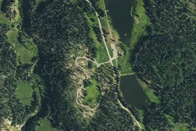
Aerial view · USGS / USDA NAIP · Public domain · source
Wildfire 46 mi NW: Elk, 7,257 acres, 90% contained
At a glance
3 of 8 facts known · Forest Service data, checked Oct 3, 2026
- Elevation
- 9,291 ft (2,832 m)9,291 ft2,832 m
Amenities
You could be the first camper hereYou could be the first camper on this page
Stayed here? Share what the next camper should know.
Free account · no email needed to browse
About
Near Big Meadows Reservoir. Big Meadows Reservoir is 600 acres and is a no-wake lake. Big Meadows is 1 1/2 miles west of U.S. Highway 160, 11.6 miles west of South Fork. The campground meanders up a mountainside above Big Meadows Reservoir in a series of loops. It is attractive and located among a heavy variety of conifers and Aspen trees. The boat ramp and Archuleta Trail are co-located across the reservoir from the campground. HIKING: Cascade Falls Trail (foot) - 0.25 miles, Archuleta Trail #839 (horse and foot) - 6 miles accesses the Weminuche Wilderness. FISHING: Rainbow, Brown and Brook Trout" Fishing (for stocked fish), hunting, and boating at the reservoir.
Fees: Day Use:
From OpenStreetMap, Overture Maps Foundation — Places, USDA Forest Service — Recreation Opportunities, and USFS INFRA Recreation Sites · · Edit
Cell service
Report signalFCC map: no coverage reported
- VerizonNo coverage on FCC map
- AT&TNo coverage on FCC map
- T-MobileNo coverage on FCC map
Cell service at Big Meadows Campground and Picnic Area: FCC map Dec 2025
Weather
National Weather Service
- WedSlight Chance T-storms, 95% chance of rain40°25°
- ThuSunny48°25°
- FriSunny51°27°
- SatMostly Sunny, 7% chance of rain52°34°
- SunPartly Sunny then Slight Chance Showers And Thunderstorms, 17% chance of rain52°32°
Nearby camping
SeeSee all on the map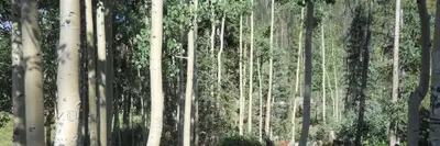
Big Meadows Reservoir Campground (South Central CO)
Public Land · 120 ft · South Fork
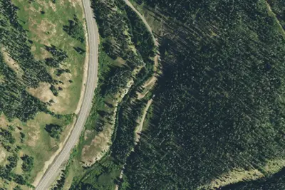
Dispersed Camping
Campground · 1.9 mi · South Fork
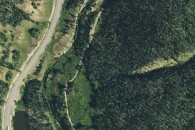
Pass Creek Dispersed Campground
Dispersed · 1.9 mi · South Fork
3 more within 25 mi
5 OpenStreetMap entries in South Fork share one park. They may be individual sites of a single campground. Suggest a merge
Dispersed camping nearby
Free dispersed camping within 19 mi, on public land.
- 1.9 mi
Pass Creek Dispersed Campground
South Fork, CO · On U.S. Forest Service land · Rio Grande National Forest
- 2.7 mi
Camp site
South Fork, CO · On U.S. Forest Service land · Rio Grande National Forest
- 3.7 mi
Camp site
South Fork, CO · On U.S. Forest Service land · Rio Grande National Forest
- 3.8 mi
Camp site
South Fork, CO · On U.S. Forest Service land · Rio Grande National Forest
- 4.1 mi
Camp site
South Fork, CO · On U.S. Forest Service land · Rio Grande National Forest
- 4.9 mi
Camp site
South Fork, CO · On U.S. Forest Service land · Rio Grande National Forest
Location and contact
Data from OpenStreetMap, Overture Maps Foundation — Places, USDA Forest Service — Recreation Opportunities, USFS INFRA Recreation Sites
Something wrong here? Suggest an edit
Run this campground? Claim the listing