Tucker Ponds Campground
South Fork, Colorado · 9,672 ft
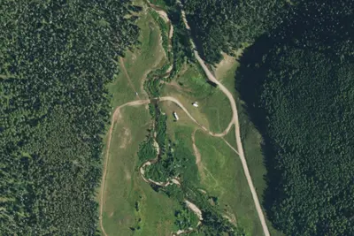
Aerial view · USGS / USDA NAIP · Public domain · source
Wildfire 49 mi NW: Elk, 7,257 acres, 90% contained
At a glance
3 of 8 facts known · Forest Service data, checked Oct 3, 2026
- Elevation
- 9,672 ft (2,948 m)9,672 ft2,948 m
- Land
- Rio Grande National Forest
U.S. Forest Service
Amenities
You could be the first camper hereYou could be the first camper on this page
Stayed here? Share what the next camper should know.
Free account · no email needed to browse
About
This high-altitude campground (9,600 feet) is a single loop tucked into a grove of spruce trees adjoining an open grassy meadow. Many of the mature spruce trees within the campground have been killed by the Spruce Bark Beetle and were all removed during the spring of 2015. Today the campground is way more open and sunny with open views of Fox Mountain. The two Tucker Ponds are across the road from the entrance to the campground and offer a good family fishing experience. The 2 Tucker Ponds are about 10 acres each. Rainbow trout (stocked) are usually plentiful and fishermen can also fish in Pass Creek by hiking west of the campground. Pass Creek can be fished with artificial flies and lures only and all cutthroat trout must be released immediately back into the creek (Rio Grande Cutthroat recovery area). For hiking adventures, going on south of the campground you can drive forest road 390 to Campo Molino and then take forest road 388 to the Bonito Pass trail which takes you to the Continental Divide Trail.
Fees: Day Use:
From OpenStreetMap, Overture Maps Foundation — Places, USDA Forest Service — Recreation Opportunities, and USFS INFRA Recreation Sites · · Edit
Cell service
Report signal- Verizon4G LTE
- AT&T5G · 4G LTE
- T-Mobile5G · 4G LTE
Cell service at Tucker Ponds Campground: FCC map Dec 2025
Weather
National Weather Service
- WedSlight Chance T-storms, 95% chance of rain34°24°
- ThuSunny, 3% chance of rain40°26°
- FriSunny, 2% chance of rain43°28°
- SatMostly Sunny, 14% chance of rain43°33°
- SunPartly Sunny then Slight Chance T-storms, 20% chance of rain43°32°
Nearby camping
SeeSee all on the mapCamp site
Dispersed · 0.3 mi · South Fork
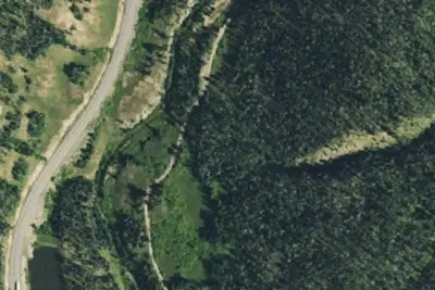
Pass Creek Dispersed Campground
Dispersed · 1.9 mi · South Fork
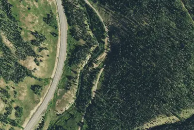
Dispersed Camping
Campground · 2.1 mi · South Fork
3 more within 25 mi
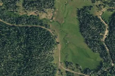
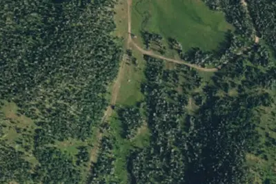
6 OpenStreetMap entries in South Fork share one park. They may be individual sites of a single campground. Suggest a merge
Dispersed camping nearby
Free dispersed camping within 19 mi, on public land.
- 0.3 mi
Camp site
South Fork, CO · On U.S. Forest Service land · Rio Grande National Forest
- 1.9 mi
Pass Creek Dispersed Campground
South Fork, CO · On U.S. Forest Service land · Rio Grande National Forest
- 2.5 mi
Camp site
South Fork, CO · On U.S. Forest Service land · Rio Grande National Forest
- 2.6 mi
Camp site
South Fork, CO · On U.S. Forest Service land · Rio Grande National Forest
- 3.3 mi
Camp site
South Fork, CO · On U.S. Forest Service land · Rio Grande National Forest
- 3.7 mi
Camp site
South Fork, CO · On U.S. Forest Service land · Rio Grande National Forest
Location and contact
Data from OpenStreetMap, Overture Maps Foundation — Places, USDA Forest Service — Recreation Opportunities, USFS INFRA Recreation Sites
Something wrong here? Suggest an edit
Run this campground? Claim the listing