Barren Fork Horse Camp
Whitley City, Kentucky · 1,293 ft
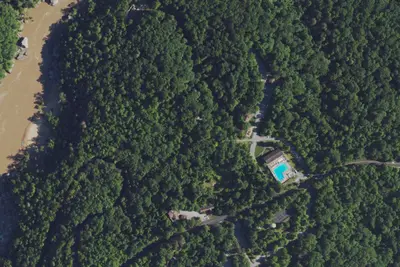
Aerial view · USGS / USDA NAIP · Public domain · source
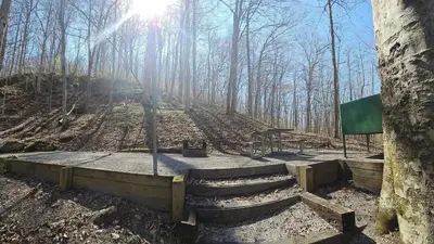
Photos taken nearby
From Wikimedia Commons, taken close to this campground — not necessarily pictures of it.
At a glance
3 of 8 facts known · Forest Service data, checked Oct 3, 2026
- Elevation
- 1,293 ft (394 m)1,293 ft394 m
- Land
- Daniel Boone National Forest
U.S. Forest Service
Amenities
You could be the first camper hereYou could be the first camper on this page
Stayed here? Share what the next camper should know.
Free account · no email needed to browse
About
Barren Fork Horse Camp is located off Barren Fork Road (#684) about 1 mile past US 27 and the Stearns Ranger District Office. From 1881 to 1935, the area was the site of a coal mining town operated by the Barren Fork Mining and Coal Company. Today, the campground offers 41 campsites that accommodate horse trailers and RVs up to 35 feet. A picnic shelter at the campground is available for group-use. Several interconnecting trails provide miles of riding pleasure. A nearby pond has water for horses. Visitors can also enjoy fishing at a nearby pond.
Fees: Overnight Use:
From OpenStreetMap and USFS INFRA Recreation Sites · · Edit
Cell service
Report signal- Verizon5G · 4G LTE
- AT&T4G LTE
- T-Mobile4G LTE
Cell service at Barren Fork Horse Camp: FCC map Dec 2025
Weather
National Weather Service
- WedMostly Sunny, 4% chance of rain85°69°
- ThuChance Rain Showers, 25% chance of rain85°66°
- FriMostly Sunny then Chance Rain Showers, 30% chance of rain72°43°
- SatSunny58°38°
- SunSunny66°43°
Nearby camping
SeeSee all on the map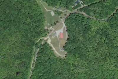
Sandhill RV Park
Campground · 3.1 mi · Whitley City
Alum Ford Campground
Campground · 4.4 mi · Whitley City
Alum Ford Campground
National Park · 4.5 mi · Whitley City
3 more within 25 mi
Dispersed camping nearby
Free dispersed camping within 19 mi, on public land.
Location and contact
Data from OpenStreetMap, USFS INFRA Recreation Sites
Something wrong here? Suggest an edit
Run this campground? Claim the listing