Alum Ford Campground
Whitley City, Kentucky · 709 ft · In Big South Fork National River and Recreation Area
Photos: NPS
At a glance
5 of 8 facts known · recreation.gov, checked Sep 24, 2026
- Elevation
- 709 ft (216 m)709 ft216 m
Sites6
Alum Ford Campground lists no loops, so its sites are listed here. Pick a site to see its details.
From recreation.gov's site list, Oct 10, 2026.
Other campgrounds in Big South Fork National River and Recreation Area 7
Nearest first. Every place inside the park's boundary.
- Alum Ford CampgroundCampground · facts not yet known0.1 mi
- Blue Heron Campground45 sites · $30–$35 a night · partial hookups · Reserve on Recreation.gov6.2 mi
- Bear Creek Horse Camp$28 a night8.6 mi
- Bear Creek Campground - KY23 sites · $30–$35 a night · partial hookups · Reserve on Recreation.gov8.7 mi
- Station Camp Campground24 sites · $30–$35 a night · partial hookups · Reserve on Recreation.gov16 mi
- Station Camp Horse CampRV Park · facts not yet known16 mi
Also in the park: 1 backcountry camp · 2 single sites
Open the park pageAmenities
From National Park Service — campgrounds, OpenStreetMap, Recreation.gov, Recreation.gov — campground rate cards · Correct
- ADA accessible
- Boat launch
- Campfires allowed
- Toilets
- Trash / dumpster
From National Park Service — campgrounds, OpenStreetMap, Recreation.gov, Recreation.gov — campground rate cards
You could be the first camper hereYou could be the first camper on this page
Stayed here? Share what the next camper should know.
Free account · no email needed to browse
About
Overview
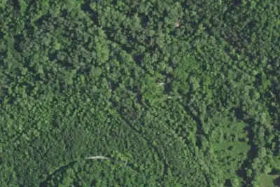
Alum Ford Campground is located in the Kentucky portion of Big South Fork seven miles west of Whitley City, Kentucky at the end of Highway 700. The campground consists of six campsites each with picnic table and fire ring.
Recreation
The campground is located adjacent to the Alum Ford Boat Launch, providing access for motorized and non-motorized watercraft to this remote section of the Big South Fork River where it becomes Lake Cumberland. The Sheltowee Trace National Recreational Trail also passes through the campground. The Sheltowee Trace is a 260-mile back country trail through Daniel Boone National Forest, Big South Fork NRRA, and Natural Bridge, Cumberland Falls, & Pickett State Parks in Kentucky and Tennessee.
From National Park Service — campgrounds, OpenStreetMap, Recreation.gov, and Recreation.gov — campground rate cards · · Edit
Cell service
Report signal- Verizon4G LTE
- AT&TNo coverage on FCC map
- T-MobileNo coverage on FCC map
Cell service at Alum Ford Campground: FCC map Dec 2025
Weather
National Weather Service
- WedMostly Sunny, 5% chance of rain86°68°
- ThuChance Rain Showers, 25% chance of rain85°66°
- FriMostly Sunny then Chance Rain Showers, 30% chance of rain73°42°
- SatSunny59°37°
- SunSunny66°42°
Nearby camping
SeeSee all on the mapOutside the park, nearest first.
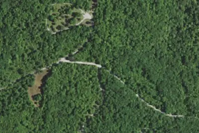
Barren Fork Horse Camp
Public Land · 4.5 mi · Whitley City
Table Rock Camping Area
Public Land · 6.0 mi · Stearns
Trace Branch Camping Area
Public Land · 6.9 mi · Stearns
3 more within 25 mi
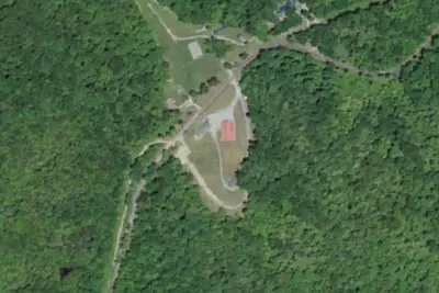
Dispersed camping nearby
Free dispersed camping within 19 mi, on public land.
Location and contact
Data from National Park Service — campgrounds (NPS Data API), OpenStreetMap, Recreation Information Database (RIDB) / Recreation.gov, Recreation.gov — campground rate cards
Something wrong here? Suggest an edit
Run this campground? Claim the listing